Paper Maps

Traditional folded paper maps for walking, hiking, cycling or holidays that fit in your rucksack, bag or glove compartment. Use the filters to narrow down the list, or use the search above to search for a specific map.

Paper Maps
Filters
  • Product
  • Qty in Cart
  • Quantity
  • Price
  • Subtotal
  • Orange front cover of OS Explorer Map OL 23 Cadair Idris & Llyn Tegid Rear orange cover of OS Explorer Map OL 23 Cadair Idris & Llyn Tegid showing the area covered by the map and the wider area

    Map of Cadair Idris & Bala Lake

    Ordnance Survey

    £12.99 - £16.99
    The OS Explorer map of Cadair Idris & Llyn Tegid (Bala Lake) is a must-have for your next trip to the this area of Snowdonia National Park.The mountain range of Cadair Idris is popular with hikers and people looking for challenging terrain to explore...
    Qty in Cart: 0
    Price:
    £12.99 - £16.99
    Subtotal:
  • Sale 20%
    Orange front covers of the 4 maps in the OS Explorer Lake District Map Set OL4, OL5, OL6, OL7 The English Lakes pdp-header-banner-image
    Sale 20%

    OS Explorer Lake District map set

    Ordnance Survey

    £41.57 - £54.37
    OS Explorer Maps OL4, OL5, OL6 & OL7 The Lake District National Park (or just 'The Lakes') contains 19 major lakes and some significant mountains or fells, including Scafell Pike, the tallest mountain in England at 978 m. The dramatic scenery of the...
    Qty in Cart: 0
    Price:
    £41.57 - £54.37
    Subtotal:
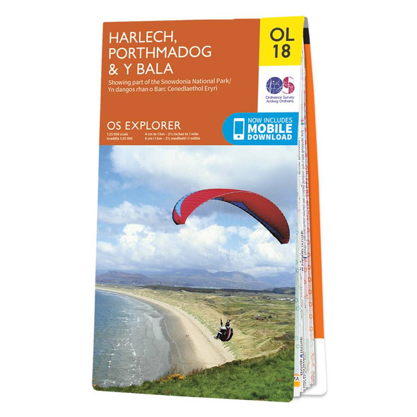
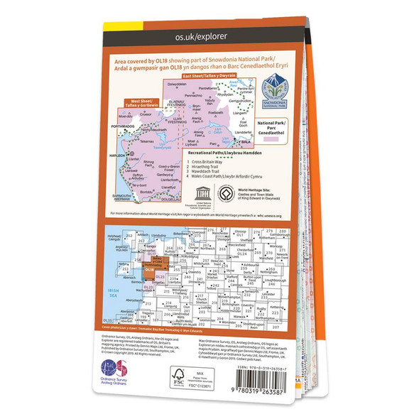
  • Orange front cover of OS Explorer Map OL 18 Harlech, Porthmadog, & Y Bala Rear orange cover of OS Explorer Map OL 18 Harlech, Porthmadog, & Y Bala showing the area covered by the map and the wider area

    Map of Harlech, Porthmadog & Y Bala

    Ordnance Survey

    £12.99 - £16.99
    Croeso!The OS Explorer map of Harlech, Porthmadog, & Y Bala is a must-have when visiting the area!Where the land meets the sea; explore grassy meadows, picturesque scenes of grazing sheep, dense woodlands, and beautiful beaches.Gaze across the sea from...
    Qty in Cart: 0
    Price:
    £12.99 - £16.99
    Subtotal:
  • Orange front cover of OS Explorer Map 116 Lyme Regis & Bridport Rear orange cover of OS Explorer Map 116 Lyme Regis & Bridport showing the area covered by the map and the wider area

    Map of Lyme Regis & Bridport

    Ordnance Survey

    £12.99 - £16.99
    The OS Explorer map of Lyme Regis & Bridport covers the area between East Devon and West Dorset (between Beer and Burton Bradstock).With so much to discover, Explorer 116 is a must-have companion when visiting both Lyme Regis and Bridport. Lyme Regis is...
    Qty in Cart: 0
    Price:
    £12.99 - £16.99
    Subtotal:
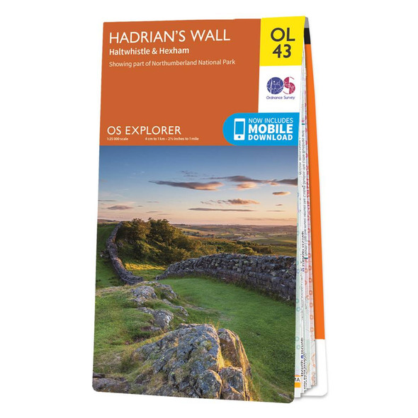
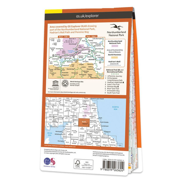
  • Orange front cover of OS Explorer Map OL 43 Hadrian's Wall Rear orange cover of OS Explorer Map OL 43 Hadrian's Wall showing the area covered by the map and the wider area

    Map of Hadrian's Wall

    Ordnance Survey

    £12.99 - £16.99
    Map of Hadrian's Wall - OS Explorer Map OL43 (Haltwhistle & Hexham)Publication Date: 10/06/2015
    Qty in Cart: 0
    Price:
    £12.99 - £16.99
    Subtotal:
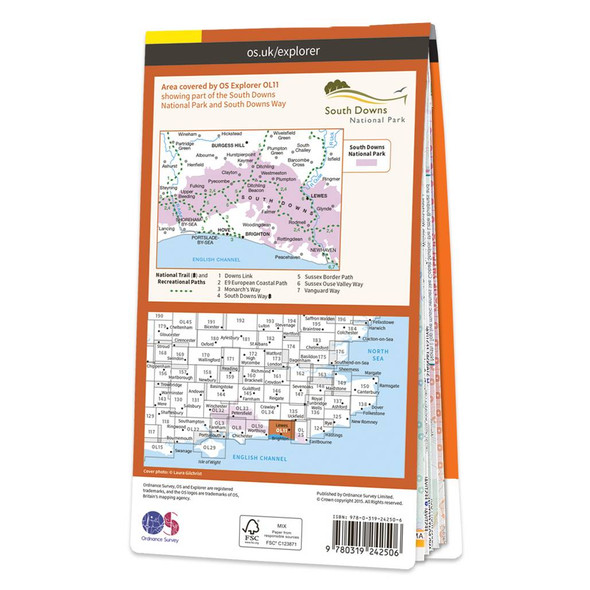
  • Orange front cover of OS Explorer Map OL 11 Brighton & Hove Rear orange cover of OS Explorer Map OL 11 Brighton & Hove showing the area covered by the map and the wider area

    Map of Brighton & Hove

    Ordnance Survey

    £12.99 - £16.99
    The OL 11 Brighton & Hove Explorer map gives you the most detailed overview of the area, including Lewes and Burgess Hill — ideal for those seeking adventure in area.The coast can be explored by foot taking in the scenery of Brighton, Hove, Portslade,...
    Qty in Cart: 0
    Price:
    £12.99 - £16.99
    Subtotal:
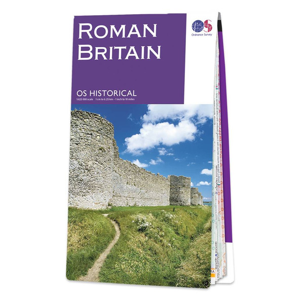
  • Purple front cover of the OS Historical Map of Roman Britain Purple back cover of the OS Historical Map of Roman Britain showing relief sculpture of Mithras from the Temple of Mithras in London

    Roman Britain

    Ordnance Survey

    £7.99
    The map of Roman Britain highlights cities, roads and important ancient monuments, plus a wide range of valuable background details of life at the time.
    Qty in Cart: 0
    Quantity:
    Price:
    £7.99
    Subtotal:
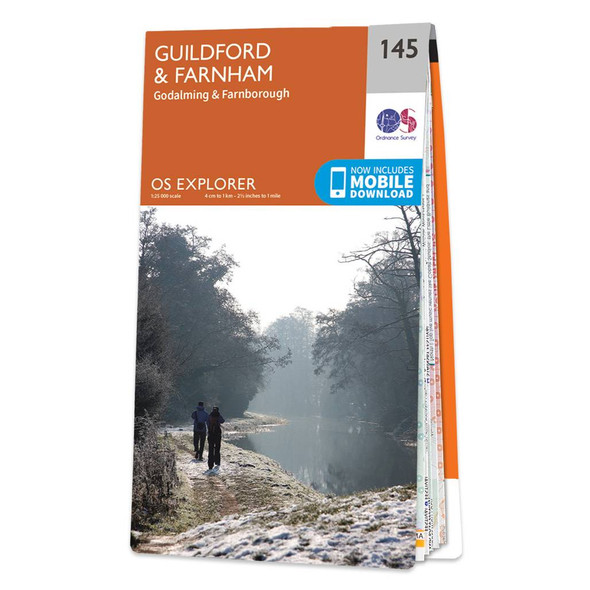
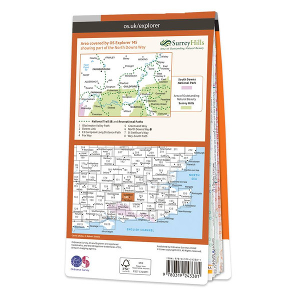
  • Orange front cover of OS Explorer Map 145 Guildford and Farnham Rear orange cover of OS Explorer Map 145 Guildford and Farnham showing the area covered by the map and the wider area

    Map of Guildford & Farnham

    Ordnance Survey

    £12.99 - £16.99
    The OS Explorer map of Guildford and Farnham, including Godalming and Farnborough. Surrey is the most wooded county in Britain, and the Surrey Hills have been made an 'Area of Outstanding Natural Beauty'. Explore bustling market towns, to quiet tranquil...
    Qty in Cart: 0
    Price:
    £12.99 - £16.99
    Subtotal:
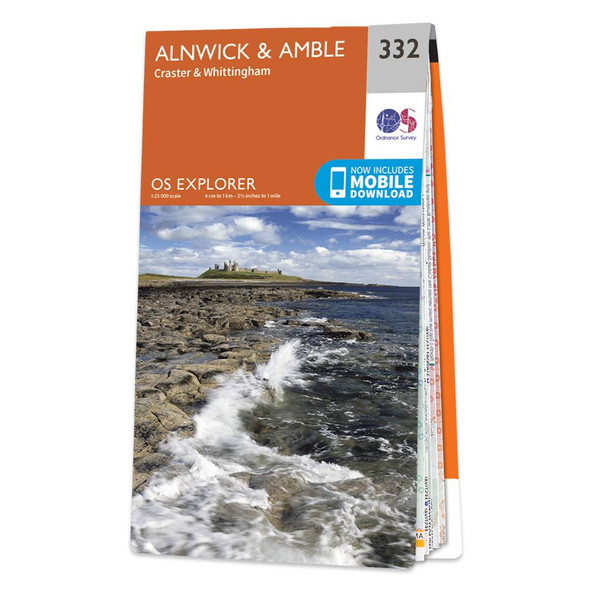
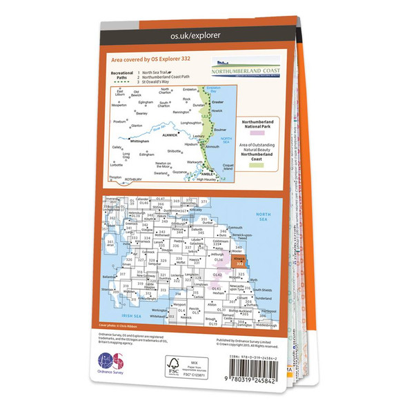
  • Orange front cover of OS Explorer Map 332 Alnwick and Amble Rear orange cover of OS Explorer Map 332 Alnwick and Amble showing the area covered by the map and the wider area

    Map of Alnwick & Amble

    Ordnance Survey

    £12.99 - £16.99
    The OS Explorer map of Alnwick and Amble, including Craster and Whittingham, is a must-have when visiting the area.This map covers the Northumbrian Coast from Embleton Bay to Amble and inland as far as the source of the River Aln. Places to visit include...
    Qty in Cart: 0
    Price:
    £12.99 - £16.99
    Subtotal:
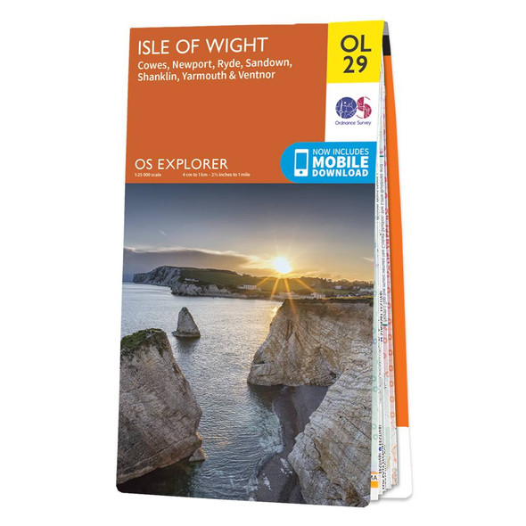
  • Orange front cover of OS Explorer Map OL 29 Isle of Wight Rear orange cover of OS Explorer Map OL 29 Isle of Wight showing the area covered by the map and the wider area

    Map of Isle of Wight

    Ordnance Survey

    £12.99 - £16.99
    Map of Isle of Wight - OS Explorer Map OL29 (Cowes, Newport, Ryde, Sandown, Shanklin, Yarmouth & Ventnor)Publication Date: 27/05/2019
    Qty in Cart: 0
    Price:
    £12.99 - £16.99
    Subtotal:
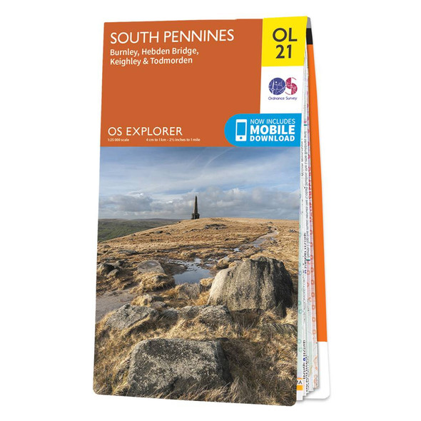
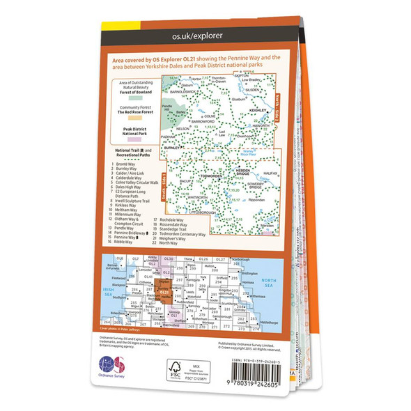
  • Orange front cover of OS Explorer Map OL 21 South Pennines Rear orange cover of OS Explorer Map OL 21 South Pennines showing the area covered by the map and the wider area

    Map of South Pennines

    Ordnance Survey

    £12.99 - £16.99
    The OS Explorer map of South Pennines, including Burnley, Hebden Bridge, Keighley, and Todmorden.OL21 a must-have when visiting this wuthering landscape. A picturesque place as if pulled from a fairytale; steep valleys, heather covered moorlands, canals,...
    Qty in Cart: 0
    Price:
    £12.99 - £16.99
    Subtotal:
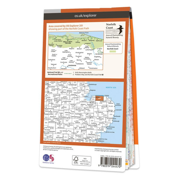
  • Orange front cover of OS Explorer Map 251 Norfolk Coast Central Rear orange cover of OS Explorer Map 251 Norfolk Coast Central showing the area covered by the map and the wider area

    Map of Norfolk Coast Central

    Ordnance Survey

    £12.99 - £16.99
    The OS Explorer map of Norfolk Coast Central, including Wells-next-the-Sea & Fakenham, is a must-have when visiting the area. An abundance of beautiful scenery and things to do, take a visit to Wells-next-the-Sea — a small port town on the north of...
    Qty in Cart: 0
    Price:
    £12.99 - £16.99
    Subtotal:
  • Total: items /

Adding your products to cart

Sign up to our newsletter for a 10% first order discount code