Paper Maps

Traditional folded paper maps for walking, hiking, cycling or holidays that fit in your rucksack, bag or glove compartment. Use the filters to narrow down the list, or use the search above to search for a specific map.

Paper Maps
Filters
  • Product
  • Qty in Cart
  • Quantity
  • Price
  • Subtotal
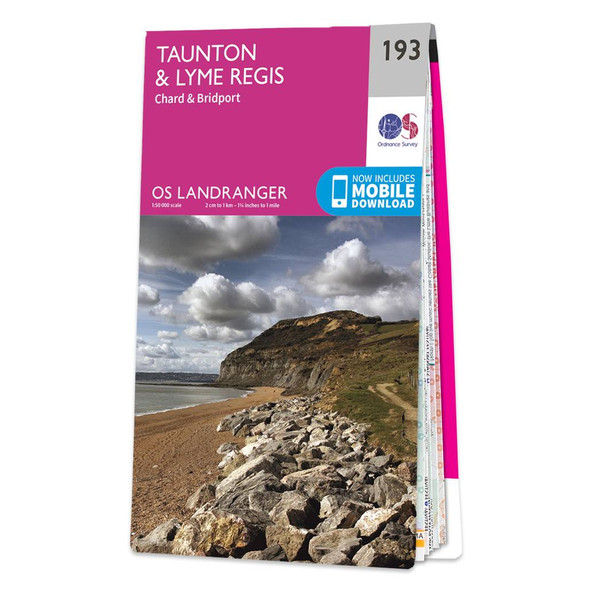
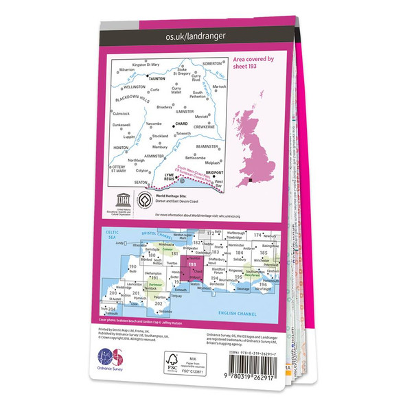
  • Pink front cover of OS Landranger Map 193 Taunton & Lyme Regis Rear pink cover of OS Landranger Map 193 Taunton & Lyme Regis showing the area covered by the map and the wider area

    Map of Taunton & Lyme Regis

    Ordnance Survey

    £12.99 - £16.99
    Taunton & Lyme Regis (inc. Chard & Bridport) map - OS Landranger 193Publication Date: 16/03/2018
    Qty in Cart: 0
    Price:
    £12.99 - £16.99
    Subtotal:
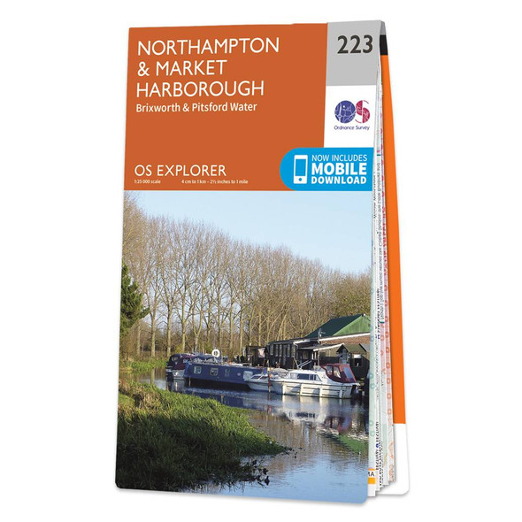
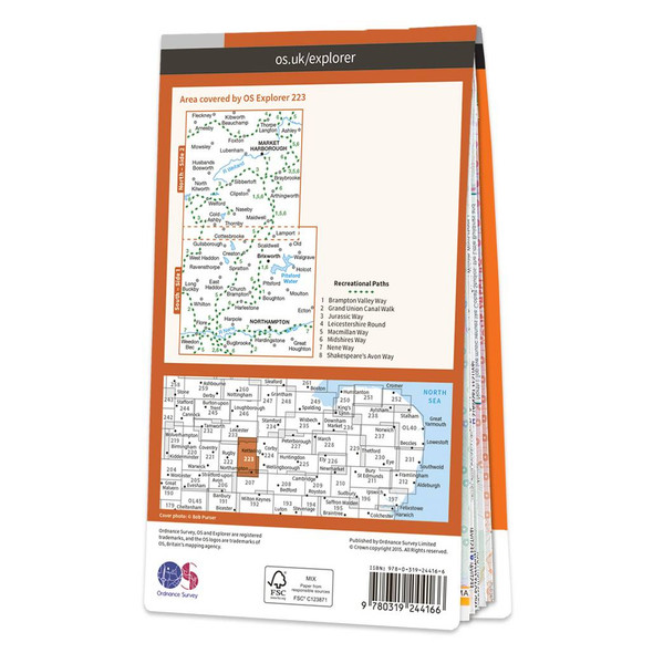
  • Orange front cover of OS Explorer Map 223 Northampton & Market Harborough Rear orange cover of OS Explorer Map 223 Northampton & Market Harborough showing the area covered by the map and the wider area

    Map of Northampton & Market Harborough

    Ordnance Survey

    £12.99 - £16.99
    Map of Northampton & Market Harborough - OS Explorer Map 223 (Brixworth & Pitsford Water) Format: Folded map Physical Size: 1000 x 890 mm (134 x 227 mm folded) Standard Publication Date: 16/09/2015Weatherproof Publication Date: 16/09/2015
    Qty in Cart: 0
    Price:
    £12.99 - £16.99
    Subtotal:
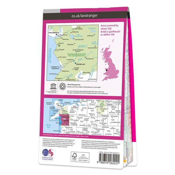
  • Pink front cover of OS Landranger Map 124 Porthmadog & Dolgellau Rear pink cover of OS Landranger Map 124 Porthmadog & Dolgellau showing the area covered by the map and the wider area

    Map of Porthmadog & Dolgellau

    Ordnance Survey

    £12.99 - £16.99
    The Landranger map of Porthmadog & Dolgellau is a must-have for your next trip to the area. Landranger maps are perfect for extensive hikes, cycling, and driving holidays. The perfect tool for planning days out or holidays to Cardigan bay and the...
    Qty in Cart: 0
    Price:
    £12.99 - £16.99
    Subtotal:
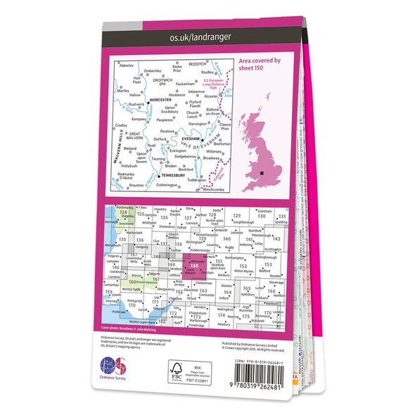
  • Pink front cover of OS Landranger Map 150 Worcester and the Malverns Rear pink cover of OS Landranger Map 150 Worcester and the Malverns showing the area covered by the map and the wider area

    Map of Worcester & The Malverns

    Ordnance Survey

    £12.99 - £16.99
    The Landranger map of Worcester and the Malverns, including Evesham and Tewkesbury is a must-have for your next trip to the area. Landranger maps are perfect for extensive hikes, cycling, and driving holidays. Ideal for planning days out or holidays to...
    Qty in Cart: 0
    Price:
    £12.99 - £16.99
    Subtotal:
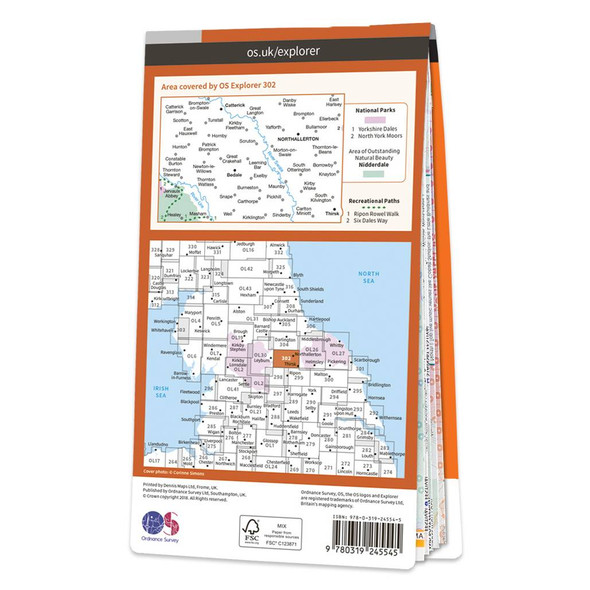
  • Orange front cover of OS Explorer Map 302 Northallerton & Thirsk Rear orange cover of OS Explorer Map 302 Northallerton & Thirsk showing the area covered by the map and the wider area

    Map of Northallerton & Thirsk

    Ordnance Survey

    £12.99 - £16.99
    Map of Northallerton & Thirsk - OS Explorer Map 302 (Catterick & Bedale)Standard Publication Date: 19/10/2018Weatherproof Publication Date: 10/12/2018
    Qty in Cart: 0
    Price:
    £12.99 - £16.99
    Subtotal:
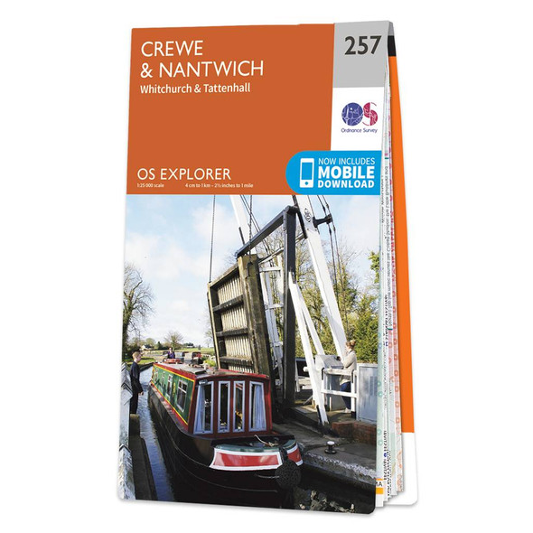
  • Orange front cover of OS Explorer Map 257 Crewe & Nantwich Rear orange cover of OS Explorer Map 257 Crewe & Nantwich showing the area covered by the map and the wider area

    Map of Crewe & Nantwich

    Ordnance Survey
    £12.99 - £16.99
    Map of Crewe & Nantwich - OS Explorer Map 257 (Whitchurch & Tattenhall) Format: Folded map Physical Size: 1000 x 890 mm (134 x 227 mm folded) Standard Publication Date: 14/06/2023Weatherproof Publication Date: 14/06/2023
    Qty in Cart: 0
    Price:
    £12.99 - £16.99
    Subtotal:
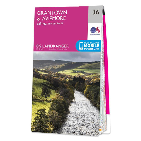
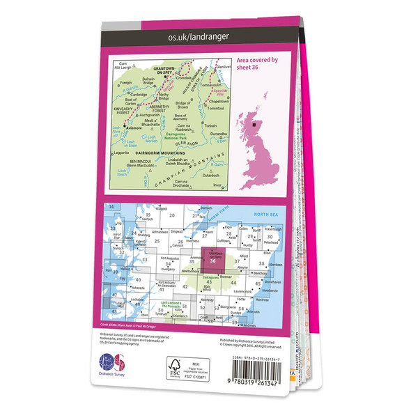
  • Pink front cover of OS Landranger Map 36 Grantown & Aviemore Rear pink cover of OS Landranger Map 36 Grantown & Aviemore showing the area covered by the map and the wider area

    Map of Grantown & Aviemore

    Ordnance Survey

    £12.99 - £16.99
    The Landranger map of Grantown & Aviemore, including the Cairngorm Mountains, is a must-have for your next trip to the area. Landranger maps are perfect for extensive hikes, cycling, and driving holidays. Ideal for planning days out or holidays in...
    Qty in Cart: 0
    Price:
    £12.99 - £16.99
    Subtotal:
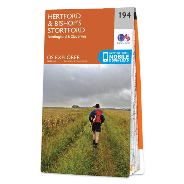
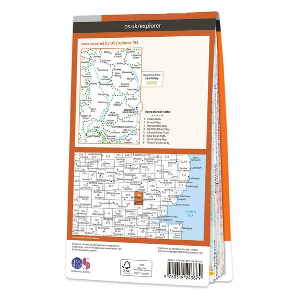
  • Orange front cover of OS Explorer Map 194 Hertford & Bishop's Stortford Rear orange cover of OS Explorer Map 194 Hertford & Bishop's Stortford showing the area covered by the map and the wider area

    Map of Hertford & Bishop's Stortford

    Ordnance Survey

    £12.99 - £16.99
    Map of Hertford & Bishop's Stortford - OS Explorer Map 194 (Buntingford & Clavering) Format: Folded map Physical Size: 952 x 1270 mm (133 x 240 mm folded) Standard Publication Date: 16/09/2015Weatherproof Publication Date: 16/09/2015
    Qty in Cart: 0
    Price:
    £12.99 - £16.99
    Subtotal:
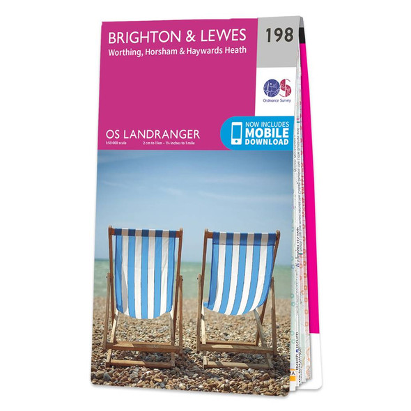
  • Pink front cover of OS Landranger Map 198 Brighton & Lewes Rear pink cover of OS Landranger Map 198 Brighton & Lewes showing the area covered by the map and the wider area

    Map of Brighton & Lewes

    Ordnance Survey

    £12.99 - £16.99
    The Landranger map of Brighton & Lewes, including Worthing, Horsham, and Haywards Heath, is a must-have for your next trip to the area. Landranger maps are perfect for extensive hikes, cycling, and driving holidays. Ideal for planning days out or...
    Qty in Cart: 0
    Price:
    £12.99 - £16.99
    Subtotal:
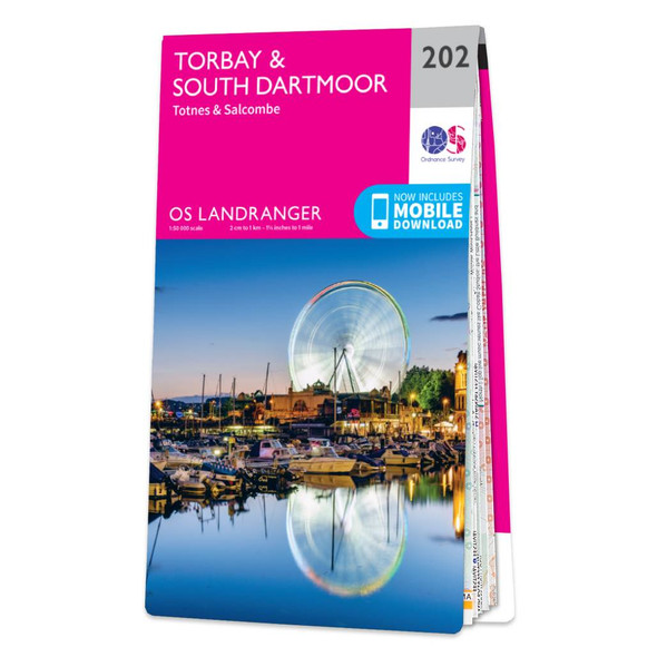
  • Pink front cover of OS Landranger Map 202 Torbay & South Dartmoor Rear pink cover of OS Landranger Map 202 Torbay & South Dartmoor showing the area covered by the map and the wider area

    Map of Torbay & South Dartmoor

    Ordnance Survey

    £12.99 - £16.99
    The Landranger map of Torbay & South Dartmoor, including Totnes & Salcombe, is the perfect tool for planning your next trip to the area. Landranger maps are perfect for extensive hikes, cycling, and driving holidays.With an absolute abundance on offer in...
    Qty in Cart: 0
    Price:
    £12.99 - £16.99
    Subtotal:
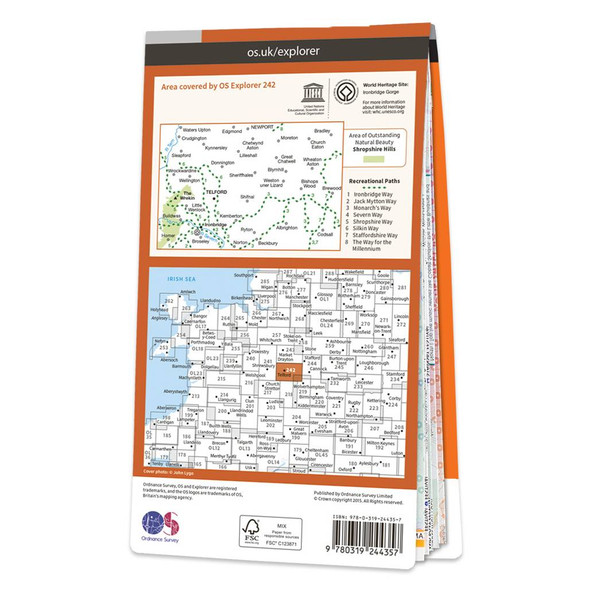
  • Orange front cover of OS Explorer Map 242 Telford, Ironbridge & The Wrekin Rear orange cover of OS Explorer Map 242 Telford, Ironbridge & The Wrekin showing the area covered by the map and the wider area

    Map of Telford, Ironbridge & The Wrekin

    Ordnance Survey
    £12.99 - £16.99
    Map of Telford, Ironbridge & The Wrekin - OS Explorer Map 242 Format: Folded map Physical Size: 1270 x 952 mm (133 x 240 mm folded) Standard Publication Date: 16/09/2015Weatherproof Publication Date: 16/09/2015
    Qty in Cart: 0
    Price:
    £12.99 - £16.99
    Subtotal:
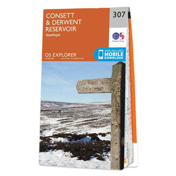
  • Orange front cover of OS Explorer Map 307 Consett & Derwent Reservoir Rear orange cover of OS Explorer Map 307 Consett & Derwent Reservoir showing the area covered by the map and the wider area

    Map of Consett & Derwent Reservoir

    Ordnance Survey

    £12.99 - £16.99
    Map of Consett & Derwent Reservoir - OS Explorer Map 307 (Stanhope) Format: Folded map Physical Size: 1270 x 952 mm (133 x 240 mm folded) Standard Publication Date: 16/09/2015Weatherproof Publication Date: 16/09/2015
    Qty in Cart: 0
    Price:
    £12.99 - £16.99
    Subtotal:
  • Total: items /

Adding your products to cart

Sign up to our newsletter for a 10% first order discount code