Paper Maps

Traditional folded paper maps for walking, hiking, cycling or holidays that fit in your rucksack, bag or glove compartment. Use the filters to narrow down the list, or use the search above to search for a specific map.

Paper Maps

Sort By:

Display Type:
Filters
  • Product
  • Qty in Cart
  • Quantity
  • Price
  • Subtotal
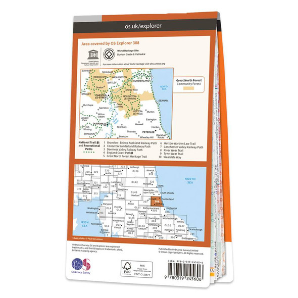
  • Orange front cover of OS Explorer Map 308 Durham & Sunderland Rear orange cover of OS Explorer Map 308 Durham & Sunderland showing the area covered by the map and the wider area
    Quick view

    Map of Durham & Sunderland

    Ordnance Survey
    £12.99 - £16.99
    Map of Durham & Sunderland - OS Explorer Map 308 (Chester-le-Street & Peterlee)Standard Publication Date: 16/09/2015Weatherproof Publication Date: 16/09/2015
    Qty in Cart: 0
    Price:
    £12.99 - £16.99
    Subtotal:
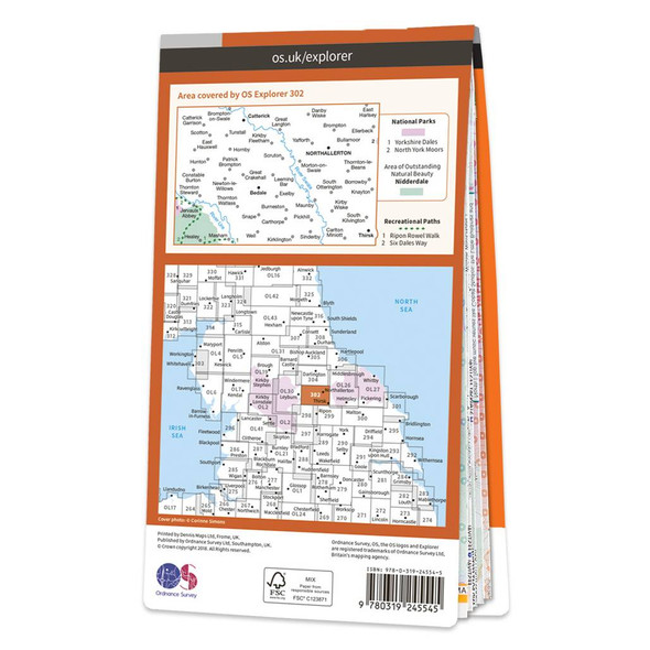
  • Orange front cover of OS Explorer Map 302 Northallerton & Thirsk Rear orange cover of OS Explorer Map 302 Northallerton & Thirsk showing the area covered by the map and the wider area
    Quick view

    Map of Northallerton & Thirsk

    Ordnance Survey
    £12.99 - £16.99
    Map of Northallerton & Thirsk - OS Explorer Map 302 (Catterick & Bedale)Standard Publication Date: 19/10/2018Weatherproof Publication Date: 10/12/2018
    Qty in Cart: 0
    Price:
    £12.99 - £16.99
    Subtotal:
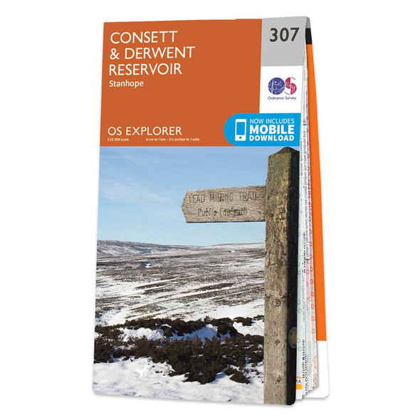
  • Orange front cover of OS Explorer Map 307 Consett & Derwent Reservoir Rear orange cover of OS Explorer Map 307 Consett & Derwent Reservoir showing the area covered by the map and the wider area
    Quick view

    Map of Consett & Derwent Reservoir

    Ordnance Survey
    £12.99 - £16.99
    Map of Consett & Derwent Reservoir - OS Explorer Map 307 (Stanhope) Format: Folded map Physical Size: 1270 x 952 mm (133 x 240 mm folded) Standard Publication Date: 16/09/2015Weatherproof Publication Date: 16/09/2015
    Qty in Cart: 0
    Price:
    £12.99 - £16.99
    Subtotal:
  • Orange covers of the OS Explorer North York Moors map set OL26 North York Moors Western area & OL27 North York Moors Eastern area pdp-header-banner-image
    Sale 20%
    Quick view
    Sale 20%

    OS Explorer North York Moors map set

    Ordnance Survey
    £20.78 - £27.18
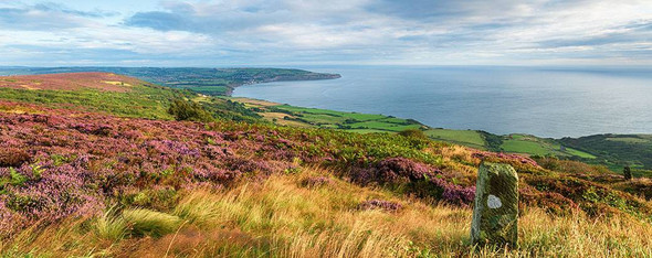
    OS Explorer Maps OL26 & OL27 The North York Moors National Park boasts a beautiful landscape of moorlands, coastline, ancient woodlands and historic sites. As well as walking and cycling, you can visit sites dating from the Iron Age to the Industrial...
    Qty in Cart: 0
    Price:
    £20.78 - £27.18
    Subtotal:
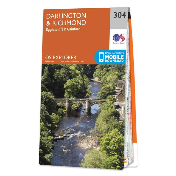
  • Orange front cover of OS Explorer Map 304 Darlington & Richmond Rear orange cover of OS Explorer Map 304 Darlington & Richmond showing the area covered by the map and the wider area
    Quick view

    Map of Darlington & Richmond

    Ordnance Survey
    £12.99 - £16.99
    Map of Darlington & Richmond - OS Explorer Map 304 (Egglescliffe & Gainford)Standard Publication Date: 16/09/2015Weatherproof Publication Date: 16/09/2015
    Qty in Cart: 0
    Price:
    £12.99 - £16.99
    Subtotal:
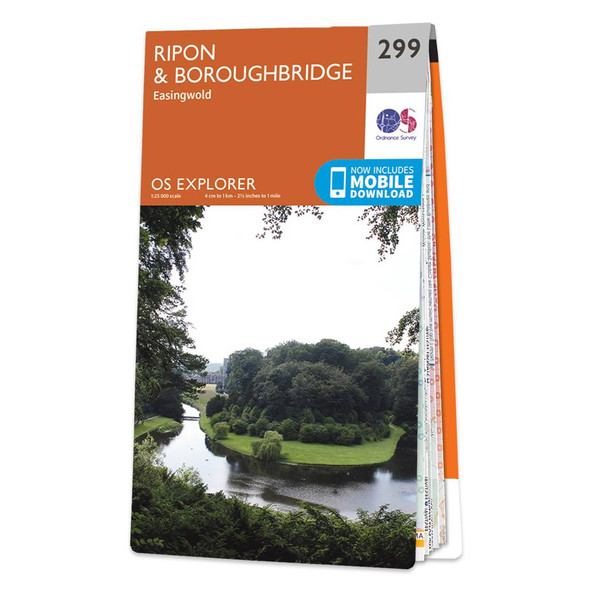
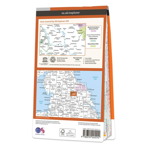
  • Orange front cover of 299 OS Explorer Map of Ripon & Boroughbridge with an image of the River Skell Rear orange cover of 299 OS Explorer Map of Ripon & Boroughbridge showing the area covered by the map and the wider area
    Quick view

    Map of Ripon & Boroughbridge

    Ordnance Survey
    £12.99 - £16.99
    Map of Ripon & Boroughbridge - OS Explorer Map 299 (Easingwold)Standard Publication Date: 16/09/2015Weatherproof Publication Date: 16/09/2015
    Qty in Cart: 0
    Price:
    £12.99 - £16.99
    Subtotal:
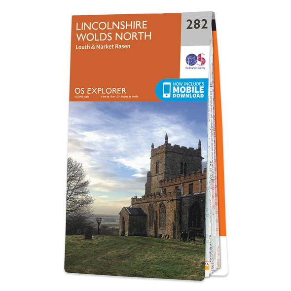
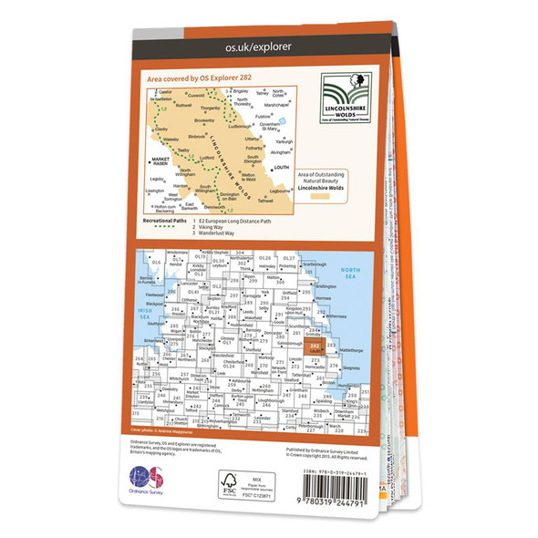
  • Orange front cover of OS Explorer Map 282 Lincolnshire Wolds North Rear orange cover of OS Explorer Map 282 Lincolnshire Wolds North showing the area covered by the map and the wider area
    Quick view

    Map of Lincolnshire Wolds North

    Ordnance Survey
    £12.99 - £16.99
    Map of Lincolnshire Wolds North - OS Explorer Map 282 (Louth & Market Rasen) Format: Folded map Physical Size: 1270 x 952 mm (133 x 240 mm folded) Standard Publication Date: 16/09/2015Weatherproof Publication Date: 16/09/2015
    Qty in Cart: 0
    Price:
    £12.99 - £16.99
    Subtotal:
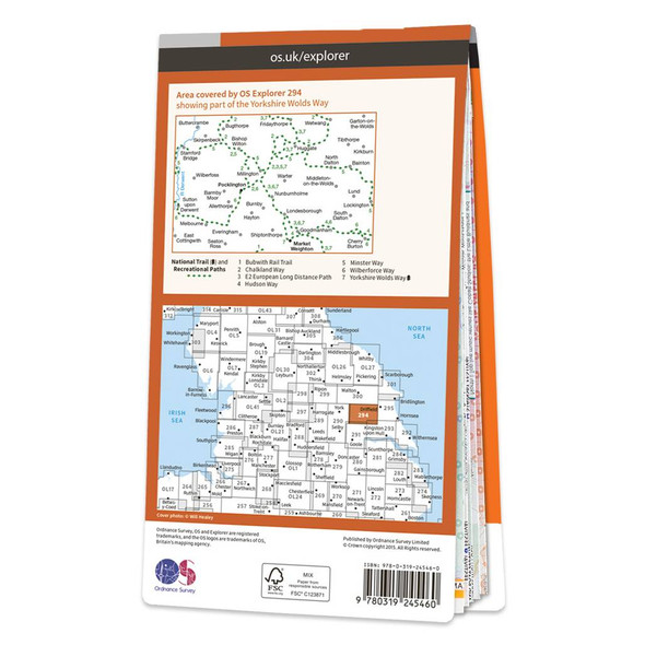
  • Orange front cover of OS Explorer Map 294 Market Weighton & Yorkshire Wolds Central Rear orange cover of OS Explorer Map 294 Market Weighton & Yorkshire Wolds Central showing the area covered by the map and the wider area
    Quick view

    Map of Market Weighton & Yorkshire Wolds Central

    Ordnance Survey
    £12.99 - £16.99
    Map of Market Weighton & Yorkshire Wolds Central - OS Explorer Map 294 (Pocklington)Standard Publication Date: 16/09/2015Weatherproof Publication Date: 16/09/2015
    Qty in Cart: 0
    Price:
    £12.99 - £16.99
    Subtotal:
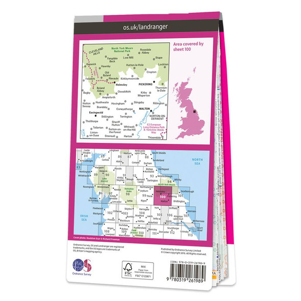
  • Pink front cover of OS Landranger Map 100 Malton & Pickering Rear pink cover of OS Landranger Map 100 Malton & Pickering showing the area covered by the map and the wider area
    Quick view

    Map of Malton & Pickering

    Ordnance Survey
    £12.99 - £16.99
    Malton & Pickering (inc. Helmsley & Easingwold) map - OS Landranger 100Publication Date: 24/02/2016
    Qty in Cart: 0
    Price:
    £12.99 - £16.99
    Subtotal:
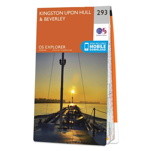
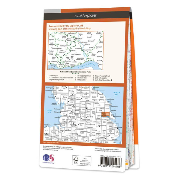
  • Orange front cover of OS Explorer Map 293 Kingston upon Hull & Beverley Rear orange cover of OS Explorer Map 293 Kingston upon Hull & Beverley showing the area covered by the map and the wider area
    Quick view

    Map of Kingston upon Hull & Beverley

    Ordnance Survey
    £12.99 - £16.99
    Map of Kingston upon Hull & Beverley - OS Explorer Map 293Standard Publication Date: 16/09/2015Weatherproof Publication Date: 16/09/2015
    Qty in Cart: 0
    Price:
    £12.99 - £16.99
    Subtotal:
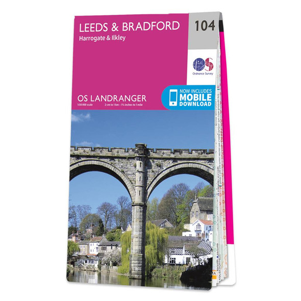
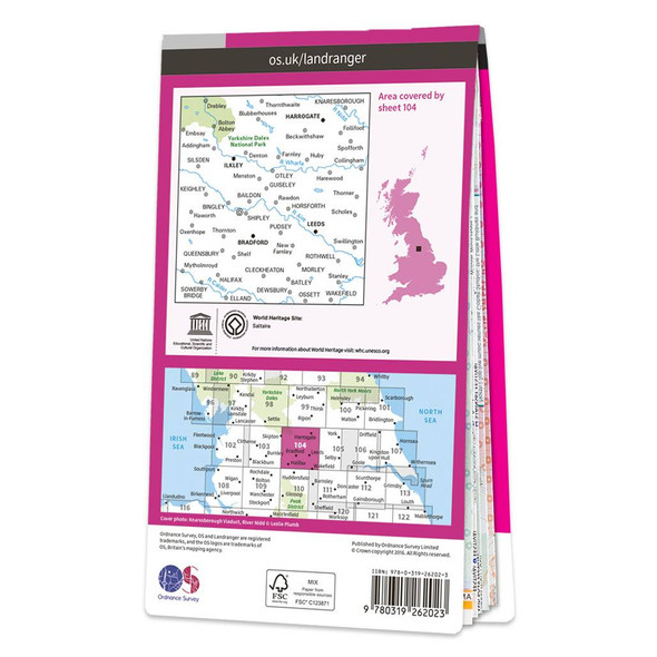
  • Pink front cover of OS Landranger Map 104 Leeds & Bradford Rear pink cover of OS Landranger Map 104 Leeds & Bradford showing the area covered by the map and the wider area
    Quick view

    Map of Leeds & Bradford

    Ordnance Survey
    £12.99 - £16.99
    Leeds & Bradford (inc. Harrogate & Ilkley) map - OS Landranger 104Publication Date: 24/02/2016
    Qty in Cart: 0
    Price:
    £12.99 - £16.99
    Subtotal:
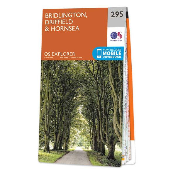
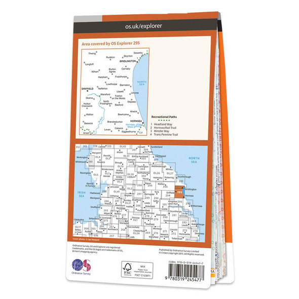
  • Orange front cover of OS Explorer Map 295 Bridlington, Driffield & Hornsea Rear orange cover of OS Explorer Map 295 Bridlington, Driffield & Hornsea showing the area covered by the map and the wider area
    Quick view

    Map of Bridlington, Driffield & Hornsea

    Ordnance Survey
    £12.99 - £16.99
    Map of Bridlington, Driffield & Hornsea - OS Explorer Map 295Standard Publication Date: 16/09/2015Weatherproof Publication Date: 16/09/2015
    Qty in Cart: 0
    Price:
    £12.99 - £16.99
    Subtotal:
  • Total: items /

Adding your products to cart