
- Product
- Qty in Cart
- Quantity
- Price
- Subtotal
-
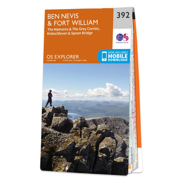
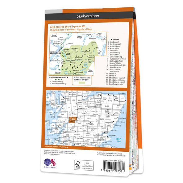
Map of Ben Nevis & Fort William
Ordnance Survey£12.99 - £16.99Conquer Ben Nevis the highest mountain in Britain and soak up the spectacular panoramic views of the Scottish Highlands from its peak.Explore the myriad of activities on offer in Lochaber the Outdoor Capital of the UK. The area is famous for its... -

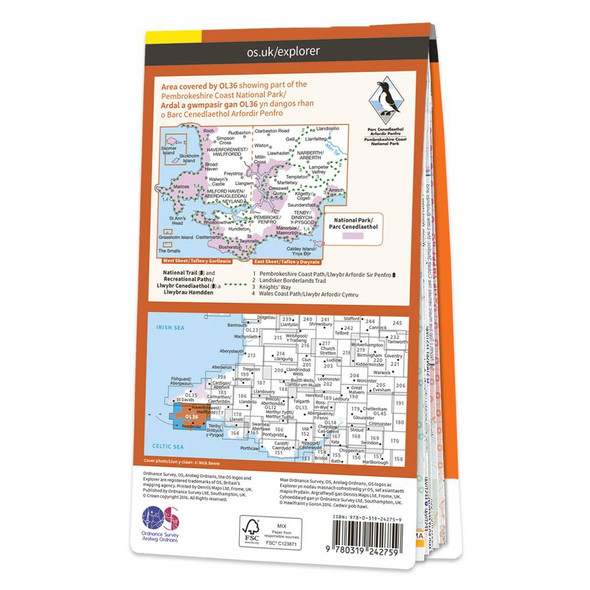
Map of South Pembrokeshire
Ordnance Survey£12.99 - £16.99The OS Explorer map of South Pembrokeshire is a must-have when visiting the West Coast of Wales. South Pembrokeshire is a favourite among families — and people of all ages, due to its sandy beaches and popular seaside towns such as Tenby.There is an... -

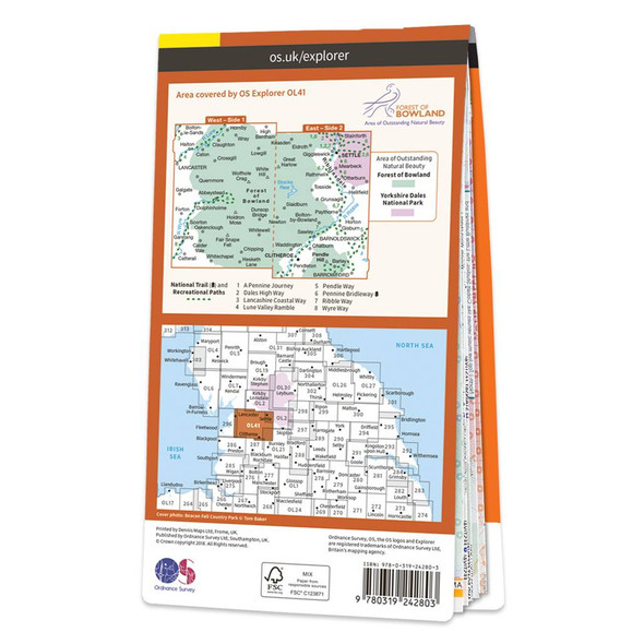
Map of Forest of Bowland
Ordnance Survey£12.99 - £16.99Explorer OL41 of displays the Forest of Bowland and Yorkshire Dales National Park near Clitheroe.It's a must-have when planning in depth explorations of the forest, with many recreational paths mapped including Dales High Way, Lancashire Coastal Way,... -

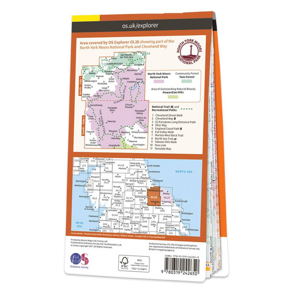
Map of North York Moors - Western area
Ordnance Survey£12.99 - £16.99Explorer OL26 is a must-have when visiting the area of the North York Moors. This map displays the Western area of the moors, the Cleveland hills, and a section of the Howardian Hills.These beautiful uplands, containing one of Britain's largest expanses... -


Map of Howgill Fells and Upper Eden Valley
Ordnance Survey£12.99 - £16.99Map Sheet OL19 in the Explorer Series covers Appleby-in—Westmorland, Sedbergh, Kirkby Stephen, and of course Howgill Fells and Upper Eden Valley.It is everything you need for exploring this beautiful area of barrow like hills, situated between the Lake... -
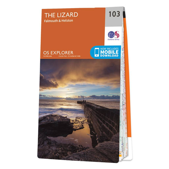
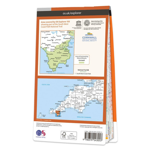
Map of The Lizard
Ordnance Survey£12.99 - £16.99Dive on in to The Lizard Explorer map — the ideal companion for exploring The Lizard, Falmouth, and Helston. Trek across Goonhilly Downs, as well as the rest of the Lizard Peninsula.Discover Falmouth, the world's 3rd largest natural harbour. Famous for... -
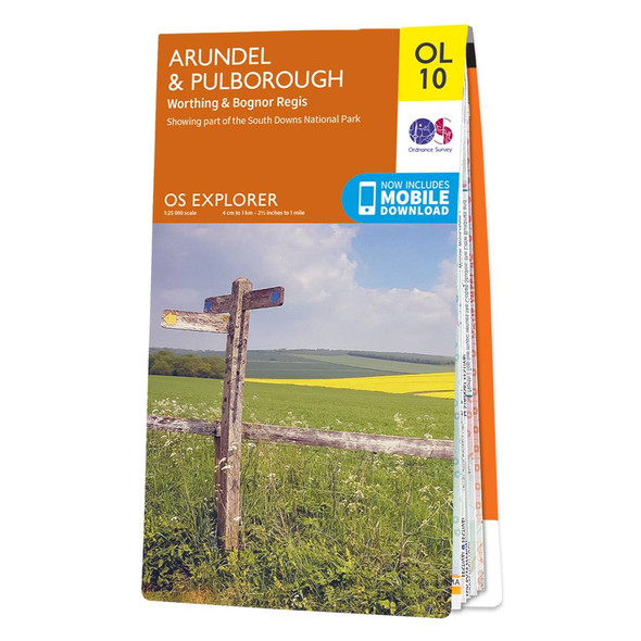
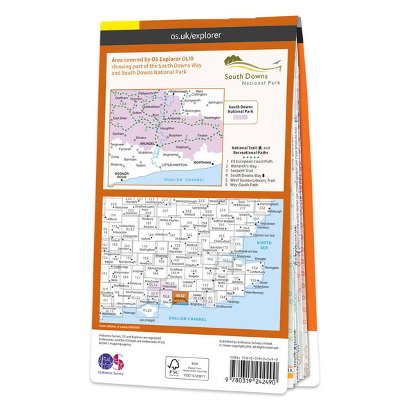
Map of Arundel & Pulborough
Ordnance Survey£12.99 - £16.99The OS Explorer map of Arundel & Pulborough, including Worthing and Bognor Regis. Map sheet OL10 replaces OS Explorer 121, and is a must-have when visiting the area.This map covers the South Downs National Park, the coastline between Bognor Regis and... -

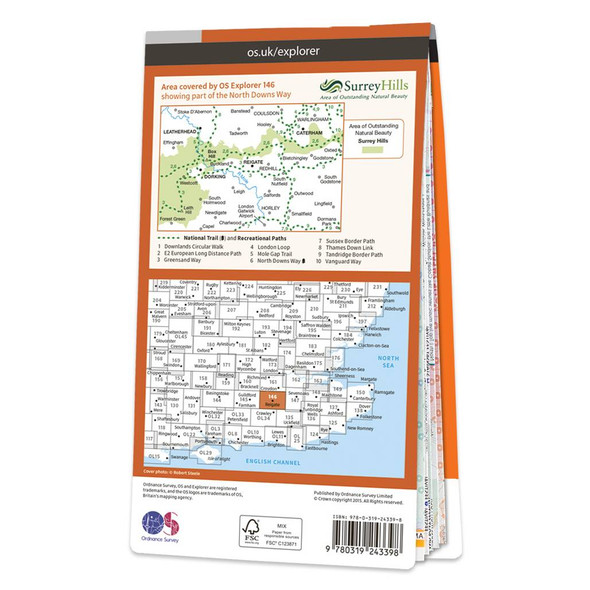
Map of Dorking, Box Hill & Reigate
Ordnance Survey£12.99 - £16.99The OS Explorer map of Dorking, Box Hill, and Reigate, including Leatherhead and Caterham, is the most detailed mapping of the area and a must-have when planning your next trip! Highlights on this map include: Surrey Hills Area of Outstanding Natural... -
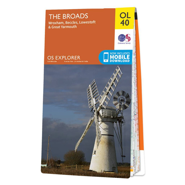
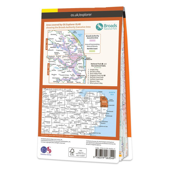
Map of The Broads
Ordnance Survey£12.99 - £16.99The OS Explorer map of the Broads; a member of the national park family, it features the rivers: Burne, Ant, Thurne, Yare, Chet, and Waveney.The map also includes the Norfolk and Suffolk coasts, as well as the seaside towns of Great Yarmouth — renowned... -
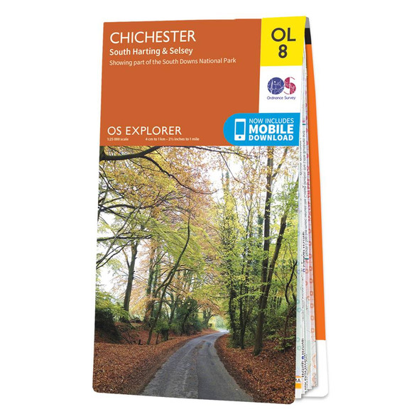
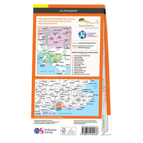
Map of Chichester
Ordnance Survey£12.99 - £16.99The OS Explorer map Chichester, including South Harting and Selsey, is a must-have when planning a trip to the area. Highlights of this map include the beautifully quaint Hayling Island, Kelsey Bill, Chichester Harbour, Sussex Downs, East Hampshire, and... -


Great British Map of Wonders
Marvellous Maps£14.99The Great British Map of Wonders is the first Marvellous Maps aimed specifically at kids! Discover 1,000 of the most exciting things to do and places to see in Great Britain. This map has games to play, sections to fill in and tick off, as well as a... -

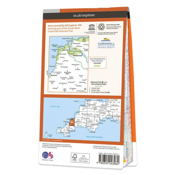
Map of Newquay & Padstow
Ordnance Survey£12.99 - £16.99The OS Explorer map of Newquay & Padstow is a must-have companion for your next trip to the area.Explore Newquay, Padstow, and Port Issac, down to St Austel. The coastal area is popular amongst holidaymakers, perfect for hiking, surfing, and other water...