
Paper Maps
- Product
- Qty in Cart
- Quantity
- Price
- Subtotal
-
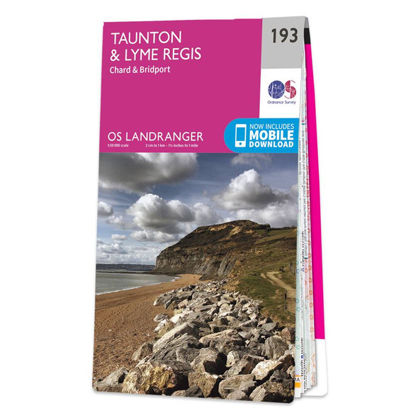
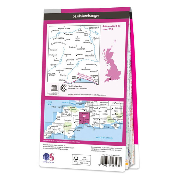
Map of Taunton & Lyme Regis
Ordnance Survey
£12.99 - £16.99Taunton & Lyme Regis (inc. Chard & Bridport) map - OS Landranger 193Publication Date: 16/03/2018£12.99 - £16.99 -
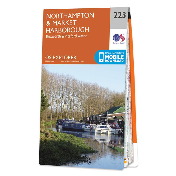
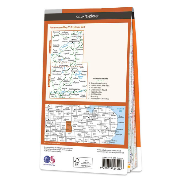
Map of Northampton & Market Harborough
Ordnance Survey
£12.99 - £16.99Map of Northampton & Market Harborough - OS Explorer Map 223 (Brixworth & Pitsford Water) Format: Folded map Physical Size: 1000 x 890 mm (134 x 227 mm folded) Standard Publication Date: 16/09/2015Weatherproof Publication Date: 16/09/2015£12.99 - £16.99 -

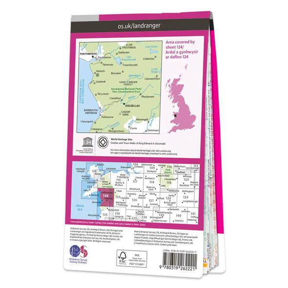
Map of Porthmadog & Dolgellau
Ordnance Survey
£12.99 - £16.99The Landranger map of Porthmadog & Dolgellau is a must-have for your next trip to the area. Landranger maps are perfect for extensive hikes, cycling, and driving holidays. The perfect tool for planning days out or holidays to Cardigan bay and the...£12.99 - £16.99 -

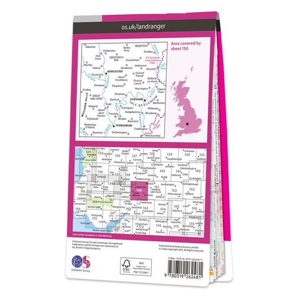
Map of Worcester & The Malverns
Ordnance Survey
£12.99 - £16.99The Landranger map of Worcester and the Malverns, including Evesham and Tewkesbury is a must-have for your next trip to the area. Landranger maps are perfect for extensive hikes, cycling, and driving holidays. Ideal for planning days out or holidays to...£12.99 - £16.99 -

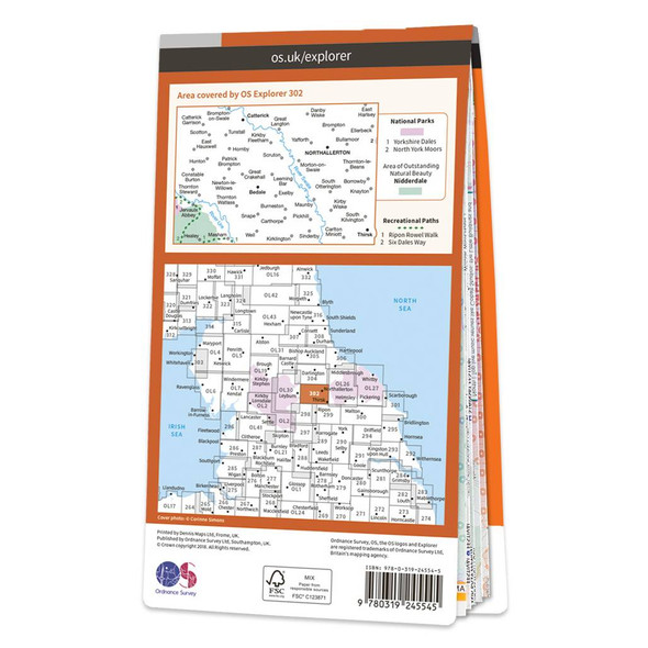
Map of Northallerton & Thirsk
Ordnance Survey
£12.99 - £16.99Map of Northallerton & Thirsk - OS Explorer Map 302 (Catterick & Bedale)Standard Publication Date: 19/10/2018Weatherproof Publication Date: 10/12/2018£12.99 - £16.99 -
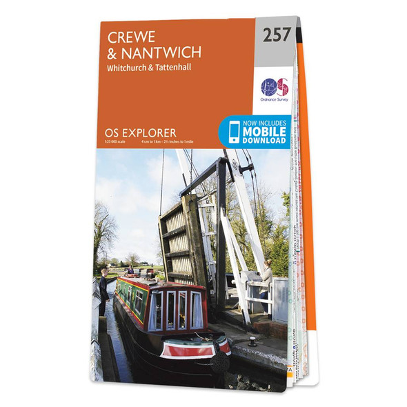

Map of Crewe & Nantwich
Ordnance Survey
£12.99 - £16.99Map of Crewe & Nantwich - OS Explorer Map 257 (Whitchurch & Tattenhall) Format: Folded map Physical Size: 1000 x 890 mm (134 x 227 mm folded) Standard Publication Date: 14/06/2023Weatherproof Publication Date: 14/06/2023£12.99 - £16.99 -
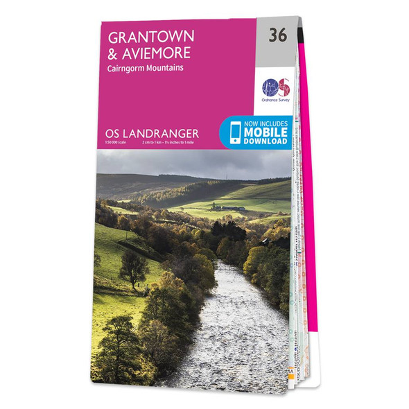
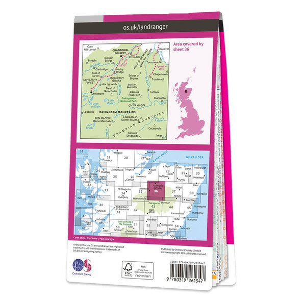
Map of Grantown & Aviemore
Ordnance Survey
£12.99 - £16.99The Landranger map of Grantown & Aviemore, including the Cairngorm Mountains, is a must-have for your next trip to the area. Landranger maps are perfect for extensive hikes, cycling, and driving holidays. Ideal for planning days out or holidays in...£12.99 - £16.99 -
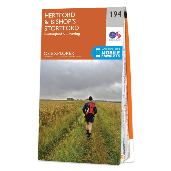
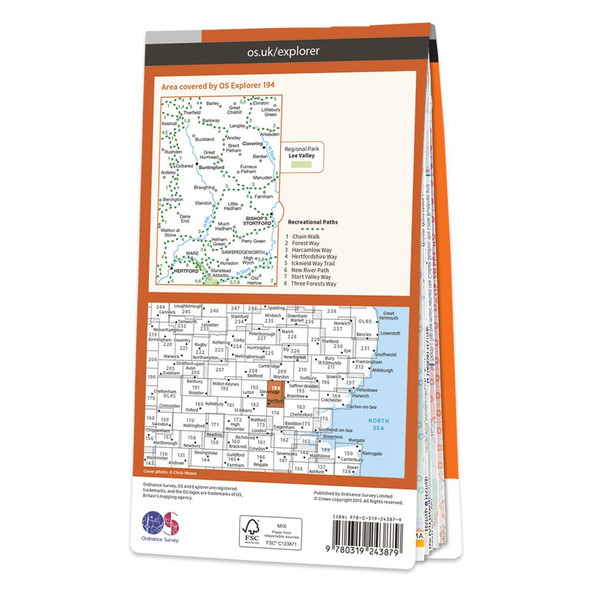
Map of Hertford & Bishop's Stortford
Ordnance Survey
£12.99 - £16.99Map of Hertford & Bishop's Stortford - OS Explorer Map 194 (Buntingford & Clavering) Format: Folded map Physical Size: 952 x 1270 mm (133 x 240 mm folded) Standard Publication Date: 16/09/2015Weatherproof Publication Date: 16/09/2015£12.99 - £16.99 -
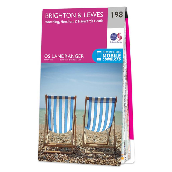

Map of Brighton & Lewes
Ordnance Survey
£12.99 - £16.99The Landranger map of Brighton & Lewes, including Worthing, Horsham, and Haywards Heath, is a must-have for your next trip to the area. Landranger maps are perfect for extensive hikes, cycling, and driving holidays. Ideal for planning days out or...£12.99 - £16.99 -
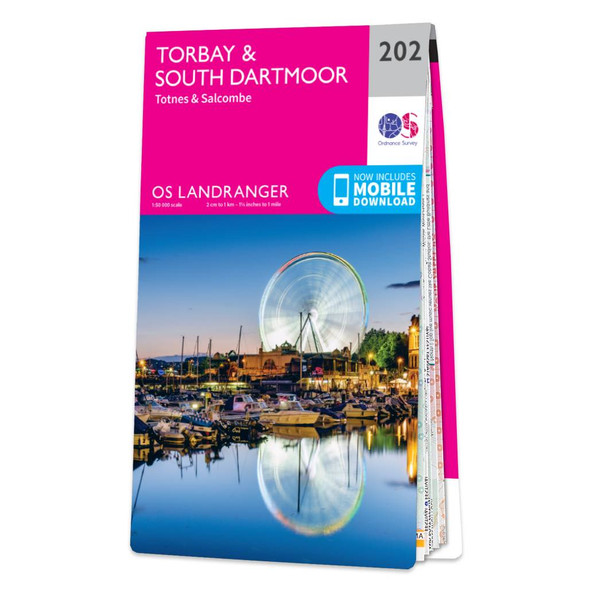

Map of Torbay & South Dartmoor
Ordnance Survey
£12.99 - £16.99The Landranger map of Torbay & South Dartmoor, including Totnes & Salcombe, is the perfect tool for planning your next trip to the area. Landranger maps are perfect for extensive hikes, cycling, and driving holidays.With an absolute abundance on offer in...£12.99 - £16.99 -

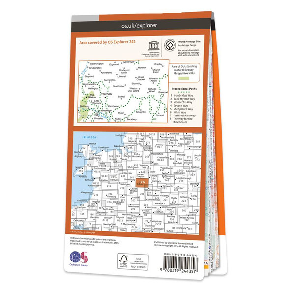
Map of Telford, Ironbridge & The Wrekin
Ordnance Survey
£12.99 - £16.99Map of Telford, Ironbridge & The Wrekin - OS Explorer Map 242 Format: Folded map Physical Size: 1270 x 952 mm (133 x 240 mm folded) Standard Publication Date: 16/09/2015Weatherproof Publication Date: 16/09/2015£12.99 - £16.99 -
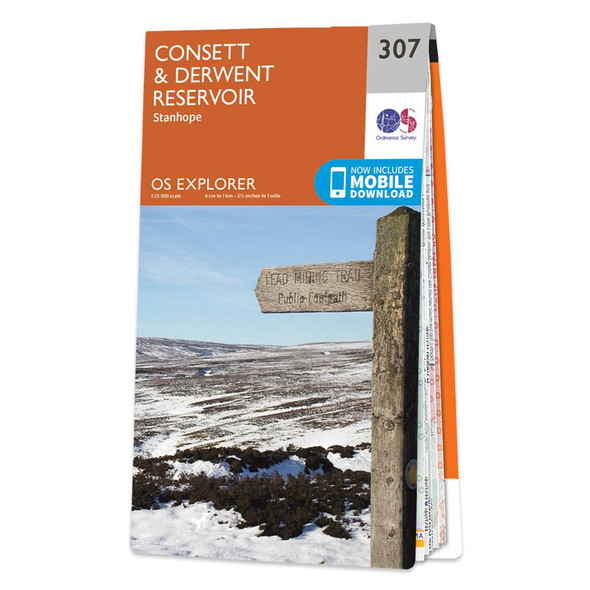

Map of Consett & Derwent Reservoir
Ordnance Survey
£12.99 - £16.99Map of Consett & Derwent Reservoir - OS Explorer Map 307 (Stanhope) Format: Folded map Physical Size: 1270 x 952 mm (133 x 240 mm folded) Standard Publication Date: 16/09/2015Weatherproof Publication Date: 16/09/2015£12.99 - £16.99 -
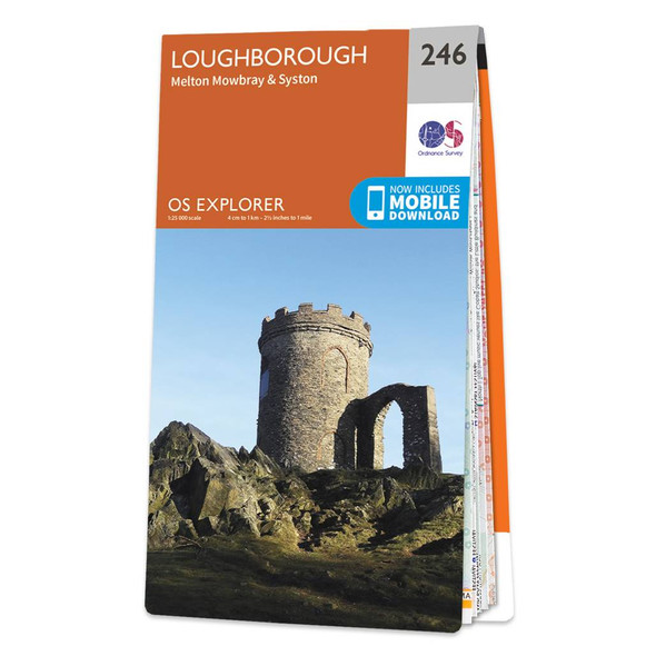

Map of Loughborough
Ordnance Survey
£12.99 - £16.99Map of Loughborough - OS Explorer Map 246 (Melton Mowbray & Syston) Format: Folded map Physical Size: 1270 x 952 mm (133 x 240 mm folded) Standard Publication Date: 14/08/2018Weatherproof Publication Date: 21/09/2018£12.99 - £16.99 -
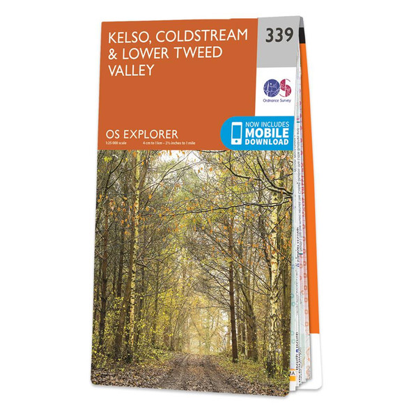
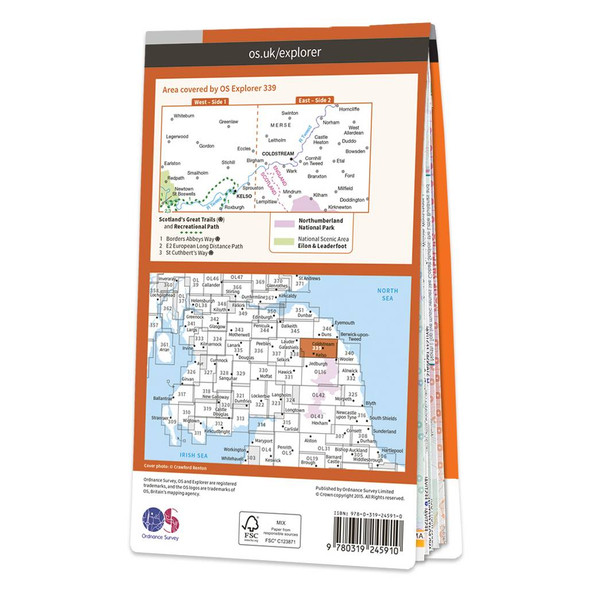
Map of Kelso, Coldstream & Lower Tweed Valley
Ordnance Survey
£12.99 - £16.99Map of Kelso, Coldstream & Lower Tweed Valley - OS Explorer Map 339Standard Publication Date: 16/09/2015Weatherproof Publication Date: 16/09/2015£12.99 - £16.99 -
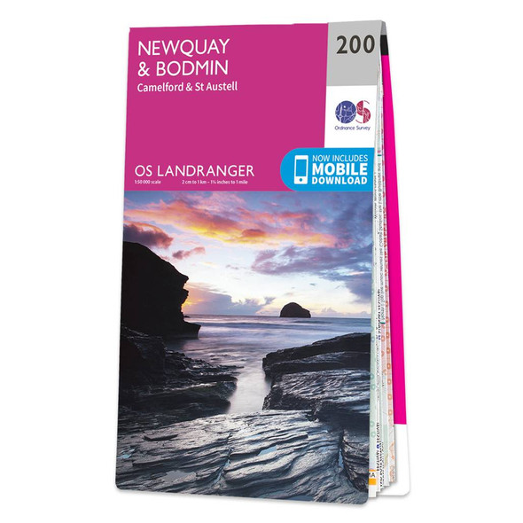
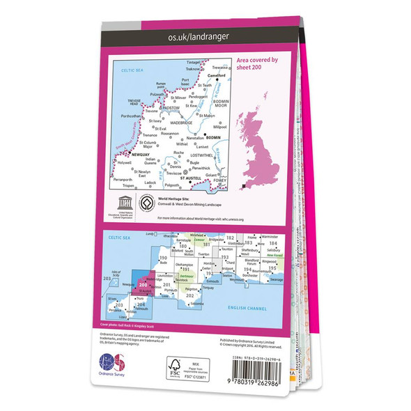
Map of Newquay & Bodmin
Ordnance Survey
£12.99 - £16.99Don't lose it planing your next trip to North Cornwall. Landranger maps are perfect for extensive hikes, cycling, and driving holidays. The Newquay & Bodmin map features Camelford, St Austell, Holywell Bay, the Eden Project, and of course Newquay &...£12.99 - £16.99 -

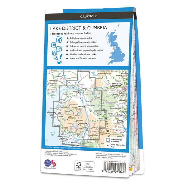
Map of Lake District & Cumbria
Ordnance Survey
£6.99Lake District and Cumbria OS Tour map: 1:110,000 tourist map£6.99 -
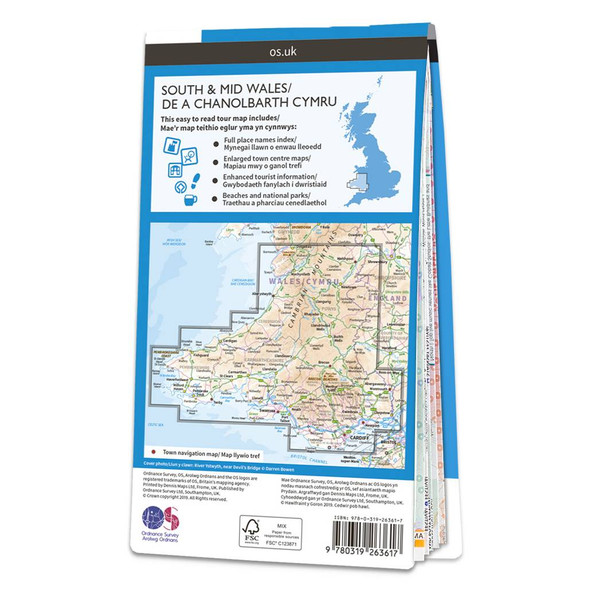
Map of South & Mid Wales
Ordnance Survey
£6.99South and Mid Wales OS Tour map: 1:175 000 tourist map Format: Folded map£6.99 -

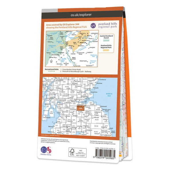
Map of Pentland Hills
Ordnance Survey
£12.99 - £16.99Map of Pentland Hills - OS Explorer Map 344 (Penicuik & West Linton)Standard Publication Date: 16/09/2015Weatherproof Publication Date: 16/09/2015£12.99 - £16.99 -
-20%

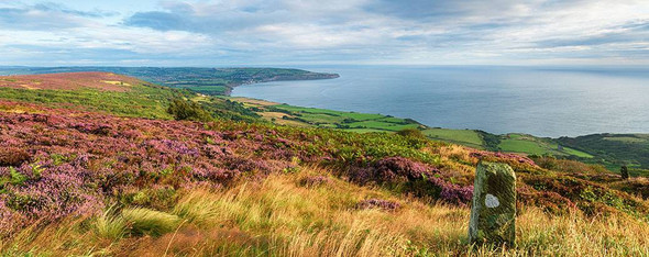
OS Explorer North York Moors map set
Ordnance Survey
£20.78 - £27.18OS Explorer Maps OL26 & OL27 The North York Moors National Park boasts a beautiful landscape of moorlands, coastline, ancient woodlands and historic sites. As well as walking and cycling, you can visit sites dating from the Iron Age to the Industrial...£20.78 - £27.18 -
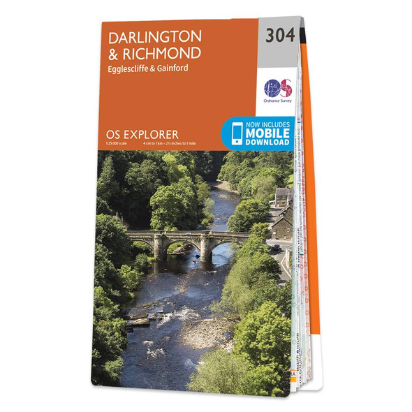

Map of Darlington & Richmond
Ordnance Survey
£12.99 - £16.99Map of Darlington & Richmond - OS Explorer Map 304 (Egglescliffe & Gainford)Standard Publication Date: 16/09/2015Weatherproof Publication Date: 16/09/2015£12.99 - £16.99 -
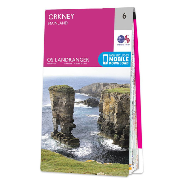

Map of Orkney Mainland
Ordnance Survey
£12.99 - £16.99The Landranger Orkney map, including the mainland, is a must-have companion for your next trip to the area. This map covers the archipelago of Orkney, featuring some must-see sites like the Neolithic Skara Brae and the mysterious Ring of Brodgar standing...£12.99 - £16.99 -

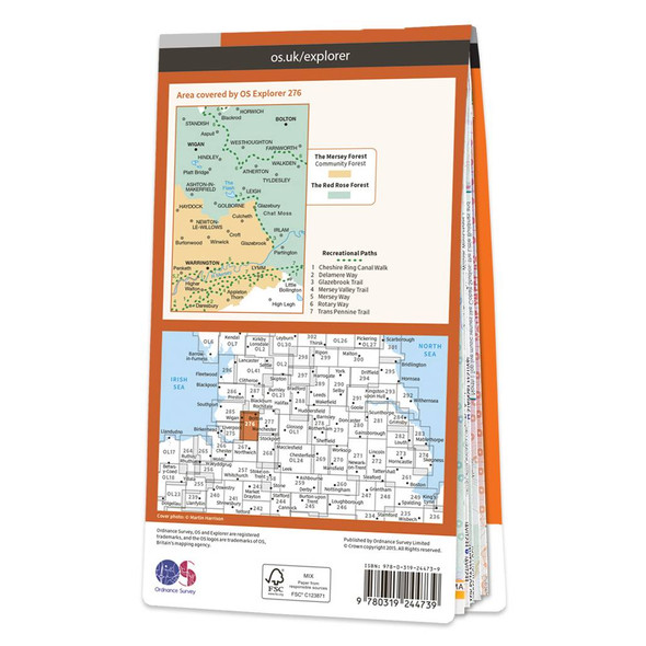
Map of Bolton Central, Wigan & Warrington
Ordnance Survey
£12.99 - £16.99Map of Bolton, Wigan & Warrington - OS Explorer Map 276 Format: Folded map Physical Size: 952 x 1270 mm (133 x 240 mm folded) Standard Publication Date: 05/03/2020Weatherproof Publication Date: 11/06/2020£12.99 - £16.99 -

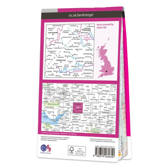
Map of Cheltenham & Cirencester
Ordnance Survey
£12.99 - £16.99The Landranger map of Cheltenham and Cirencester, including Stow-on-the-wold. Landranger maps are perfect for extensive hikes, cycling, and driving holidays. Ideal for planning days out or holidays to the area, including The Cotswold Way, Thames Path,...£12.99 - £16.99 -

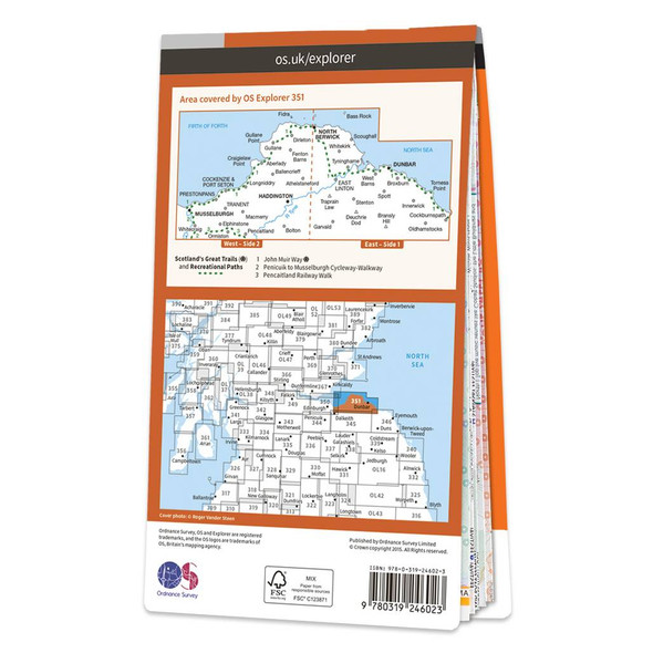
Map of Dunbar & North Berwick
Ordnance Survey
£12.99 - £16.99Map of Dunbar & North Berwick - OS Explorer Map 351 (Musselburgh & Haddington)Standard Publication Date: 16/09/2015Weatherproof Publication Date: 16/09/2015£12.99 - £16.99 -
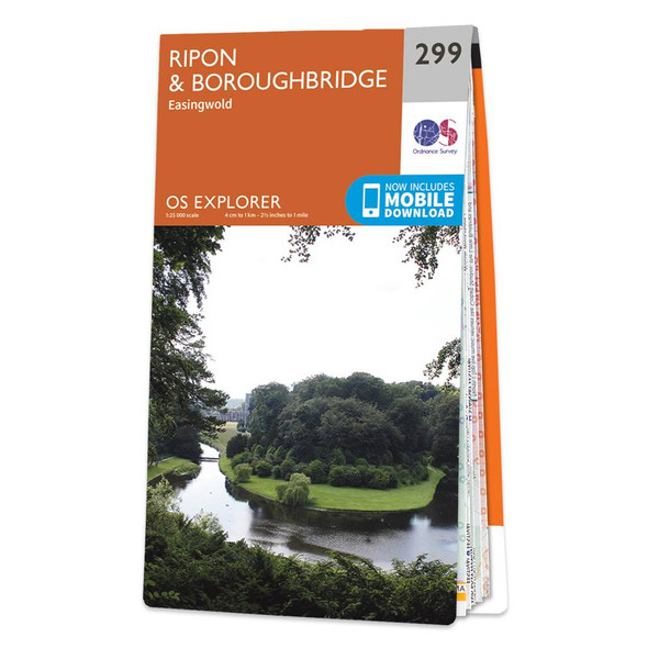
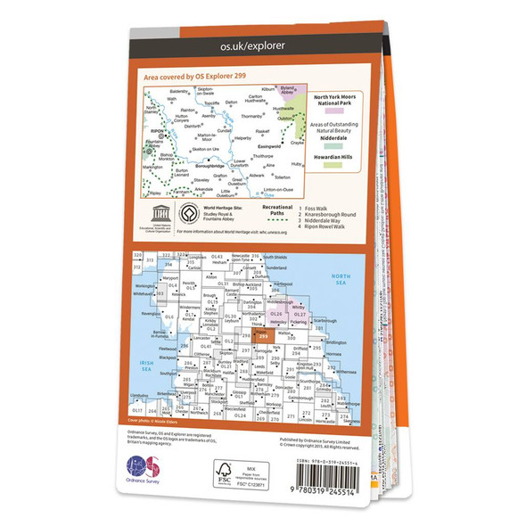
Map of Ripon & Boroughbridge
Ordnance Survey
£12.99 - £16.99Map of Ripon & Boroughbridge - OS Explorer Map 299 (Easingwold)Standard Publication Date: 16/09/2015Weatherproof Publication Date: 16/09/2015£12.99 - £16.99 -
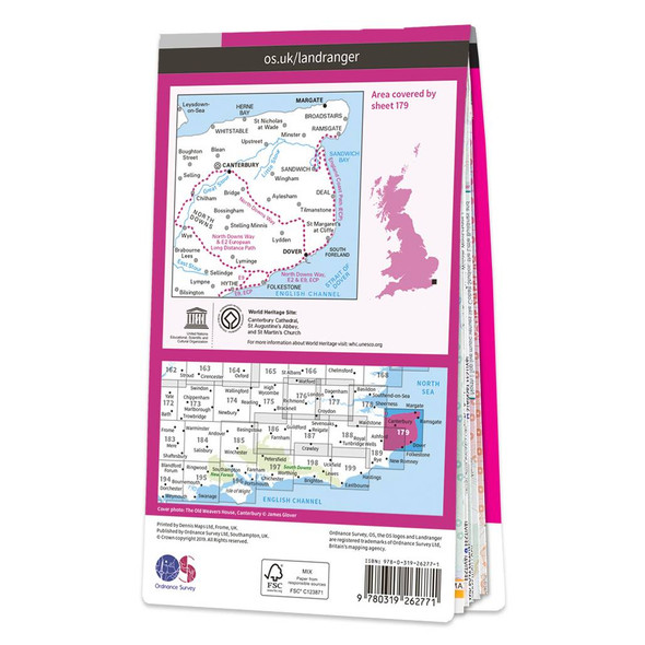
Map of Canterbury & East Kent
Ordnance Survey
£12.99 - £16.99The Landranger map of Canterbury & East Kent, including Dover & Margate, is a must-have when planning your next trip to the area. Landranger maps are perfect for extensive hikes, cycling, and driving holidays.Ideal for planning days out or holidays to...£12.99 - £16.99 -
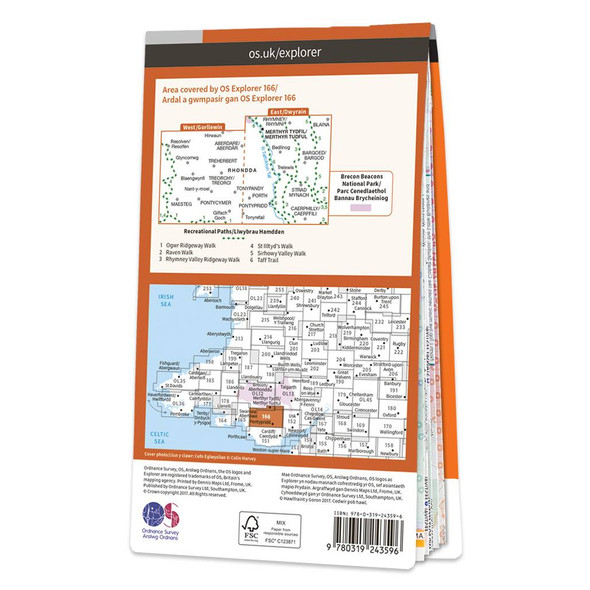
Map of Rhondda & Merthyr Tydfil
Ordnance Survey
£12.99 - £16.99Map of Rhondda & Merthyr Tydfil - OS Explorer Map 166Standard Publication Date: 26/01/2018Weatherproof Publication Date: 21/02/2018£12.99 - £16.99 -


Map of Skye - Trotternish & The Storr
Ordnance Survey
£12.99 - £16.99Map of Skye - Trotternish & The Storr - OS Explorer Map 408 (Uig)Standard Publication Date: 16/09/2015Weatherproof Publication Date: 16/09/2015£12.99 - £16.99 -

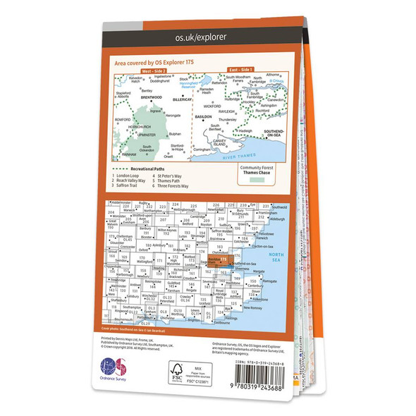
Map of Southend-on-Sea & Basildon
Ordnance Survey
£12.99 - £16.99Map of Southend-on-Sea & Basildon - OS Explorer Map 175 (Brentwood & Billericay)Standard Publication Date: 22/11/2018Weatherproof Publication Date: 10/01/2019£12.99 - £16.99 -


Map of Bristol & Bath
Ordnance Survey
£12.99 - £16.99The Landranger map of Bristol & Bath, including Thornbury & Chew Magna, is a must-have when planning a trip to the area. Landranger maps are perfect for extensive hikes, cycling, and driving holidays. Ideal for planning days out or holidays to Bath, a...£12.99 - £16.99 -


Map of Bournemouth & Purbeck
Ordnance Survey
£12.99 - £16.99Bournemouth & Purbeck (inc. Wimborne Minster & Ringwood) map - OS Landranger 195Publication Date: 04/10/2017£12.99 - £16.99 -
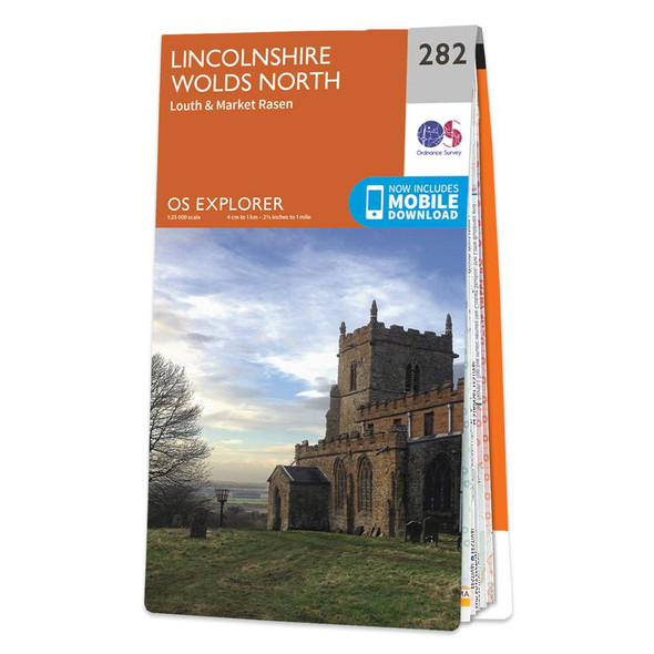
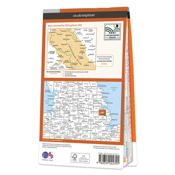
Map of Lincolnshire Wolds North
Ordnance Survey
£12.99 - £16.99Map of Lincolnshire Wolds North - OS Explorer Map 282 (Louth & Market Rasen) Format: Folded map Physical Size: 1270 x 952 mm (133 x 240 mm folded) Standard Publication Date: 16/09/2015Weatherproof Publication Date: 16/09/2015£12.99 - £16.99 -
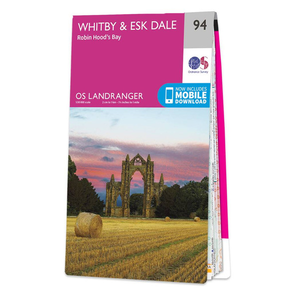
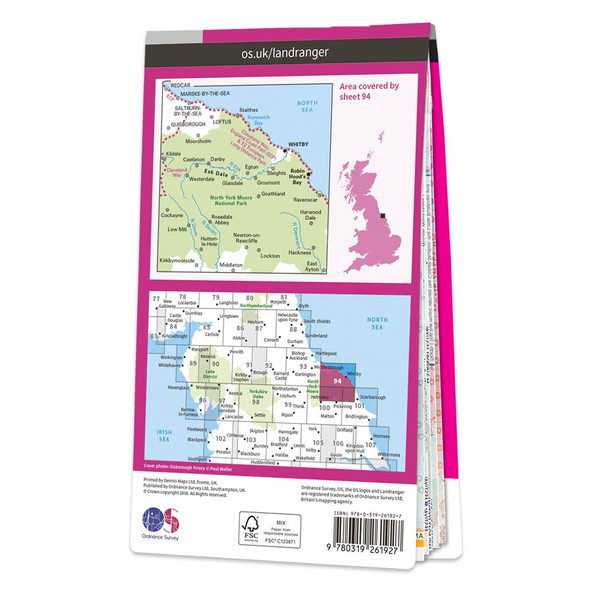
Map of Whitby & Esk Dale
Ordnance Survey
£12.99 - £16.99Whitby & Esk Dale (inc. Robin Hood's Bay) map - OS Landranger 94Publication Date: 26/10/2018£12.99 - £16.99 -
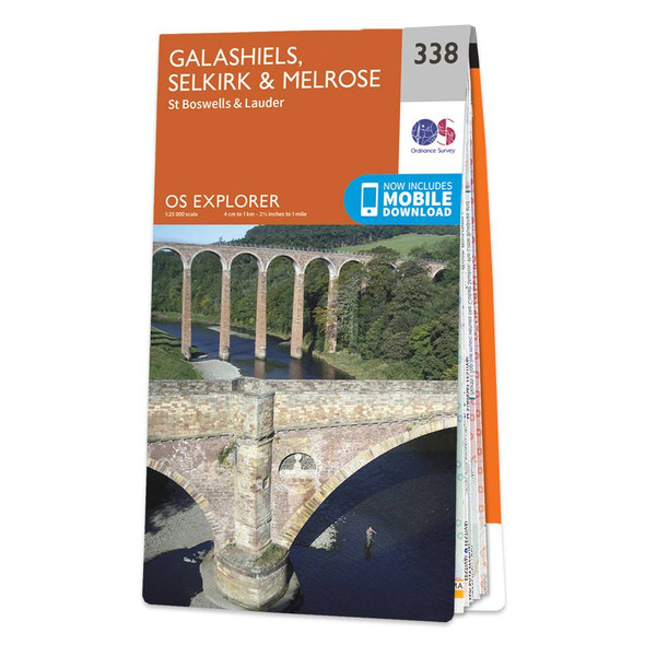

Map of Galashiels, Selkirk & Melrose
Ordnance Survey
£12.99 - £16.99Map of Galashiels, Selkirk & Melrose - OS Explorer Map 338 (St Boswell's & Lauder) Format: Folded map Physical Size: 952 x 1270 mm (133 x 240 mm folded) Standard Publication Date: 06/04/2017Weatherproof Publication Date: 26/07/2017£12.99 - £16.99 -

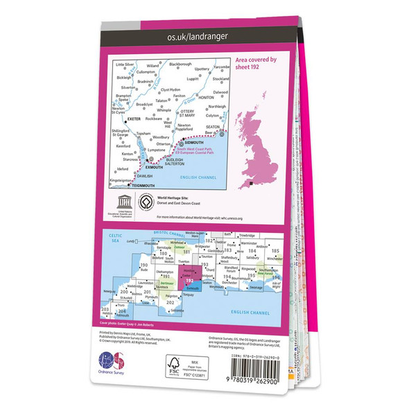
Map of Exeter & Sidmouth
Ordnance Survey
£12.99 - £16.99Exeter & Sidmouth (inc. Exmouth & Teignmouth) map - OS Landranger 192Publication Date: 18/07/2019£12.99 - £16.99 -
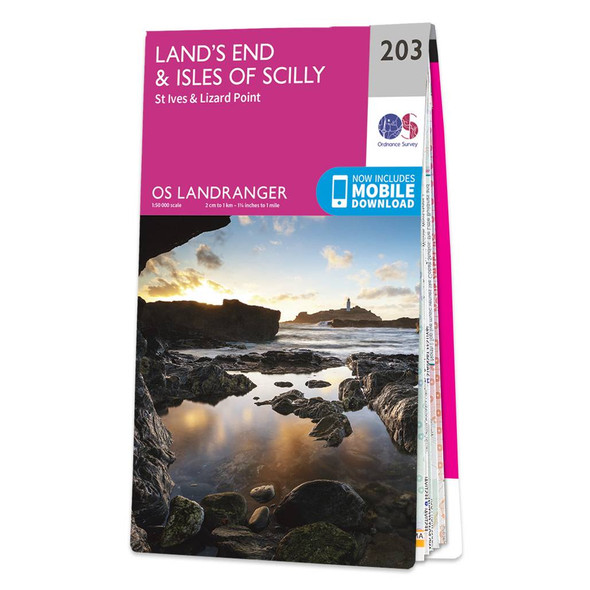
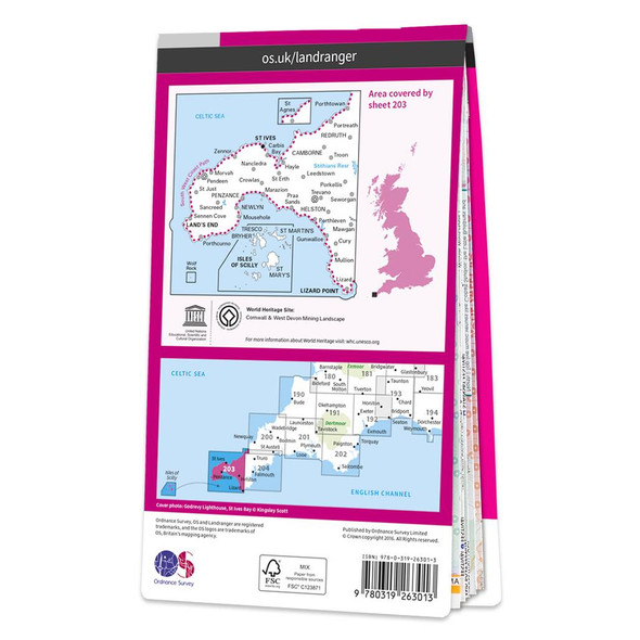
Map of Land's End & Isles of Scilly
Ordnance Survey
£12.99 - £16.99Revel in everything the furthest point of Cornwall has to offer with the Land's End & Isles of Scilly Landranger. Discover beautiful gems, like the 'Minack Theatre' — a marvellous amphitheatre built into the rock at Porthcurno.Take a wonder along St...£12.99 - £16.99 -


Map of Vale of Clwyd
Ordnance Survey
£12.99 - £16.99Map of Vale of Clwyd - OS Explorer Map 264 (Rhyl, Denbigh & Ruthin)Standard Publication Date: 16/09/2015Weatherproof Publication Date: 16/09/2015£12.99 - £16.99 -
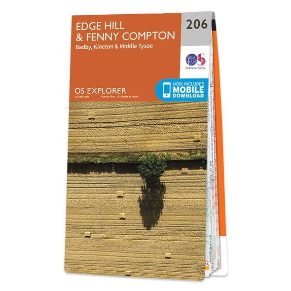
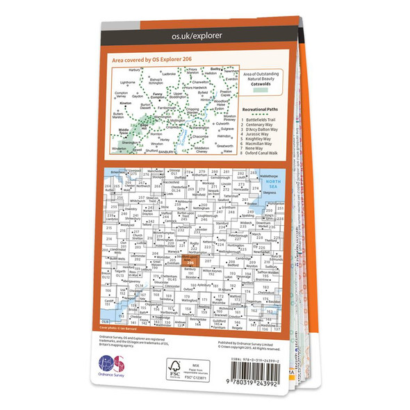
Map of Edge Hill & Fenny Compton
Ordnance Survey
£12.99 - £16.99Map of Edge Hill & Fenny Compton - OS Explorer Map 206 (Badby, Kineton & Middle Tysoe) Format: Folded map Physical Size: 1270 x 952 mm (133 x 240 mm folded) Standard Publication Date: 16/09/2015Weatherproof Publication Date: 31/05/2023£12.99 - £16.99 -
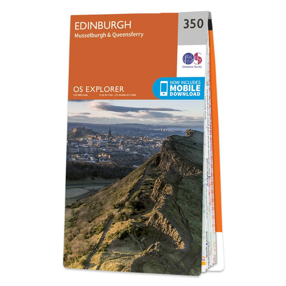
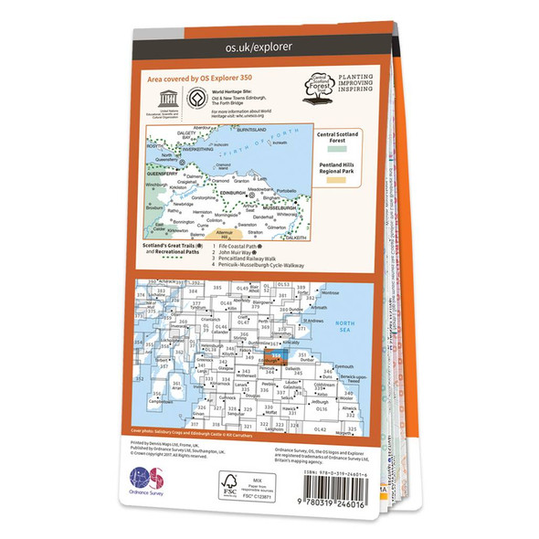
Map of Edinburgh Musselburgh & Queensferry
Ordnance Survey
£12.99 - £16.99Map of Edinburgh - OS Explorer Map 350 (Musselburgh & Queensferry)Standard Publication Date: 05/07/2017Weatherproof Publication Date: 28/09/2017£12.99 - £16.99 -

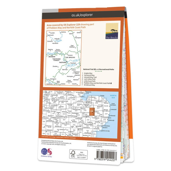
Map of Thetford Forest in The Brecks
Ordnance Survey
£12.99 - £16.99Map of Thetford Forest in The Brecks - OS Explorer Map 229 (Thetford & Brandon)Standard Publication Date: 16/09/2015Weatherproof Publication Date: 16/09/2015£12.99 - £16.99
Traditional folded paper maps for walking, hiking, cycling or holidays that fit in your rucksack, bag or glove compartment. Use the filters to narrow down the list, or use the search above to search for a specific map.