
Paper Maps
- Product
- Qty in Cart
- Quantity
- Price
- Subtotal
-

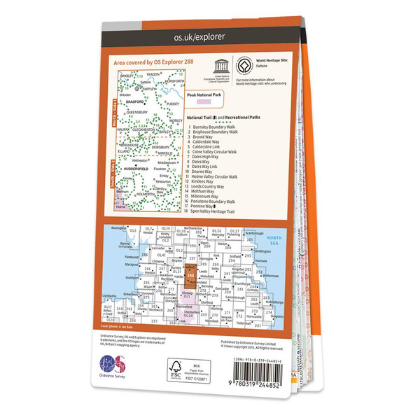
Map of Bradford & Huddersfield
Ordnance Survey
£12.99 - £16.99Map of Bradford & Huddersfield - OS Explorer Map 288 (East Calderdale)Standard Publication Date: 23/01/2020Weatherproof publication Date: 09/06/2020£12.99 - £16.99 -

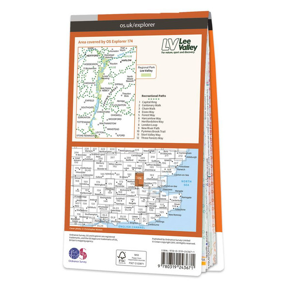
Map of Epping Forest & Lee Valley
Ordnance Survey
£12.99 - £16.99Map of Epping Forest & Lee Valley - OS Explorer Map 174 (Hertford & Harlow)Standard Publication Date: 08/01/2024Weatherproof Publication Date: 11/04/2023£12.99 - £16.99 -

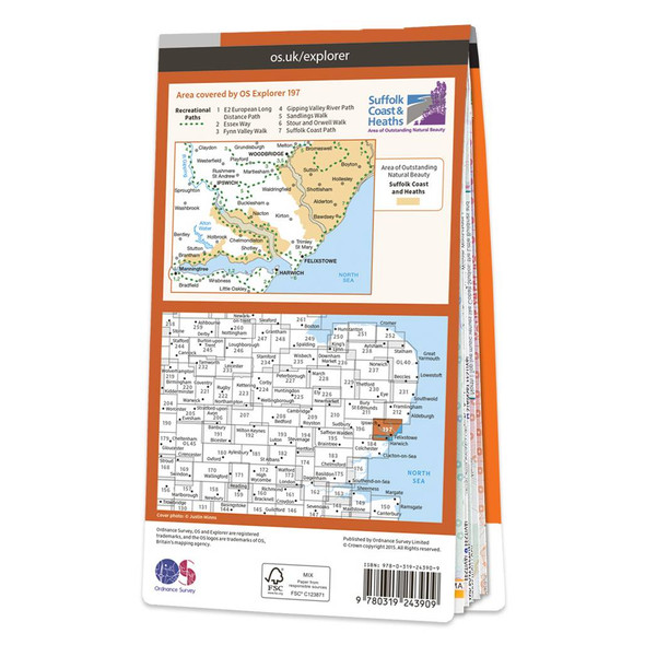
Map of Ipswich, Felixstowe & Harwich
Ordnance Survey
£12.99 - £16.99Map of Ipswich, Felixstowe & Harwich - OS Explorer Map 197 (Woodbridge & Manningtree)Standard Publication Date: 16/09/2015Weatherproof Publication Date: 16/09/2015£12.99 - £16.99 -
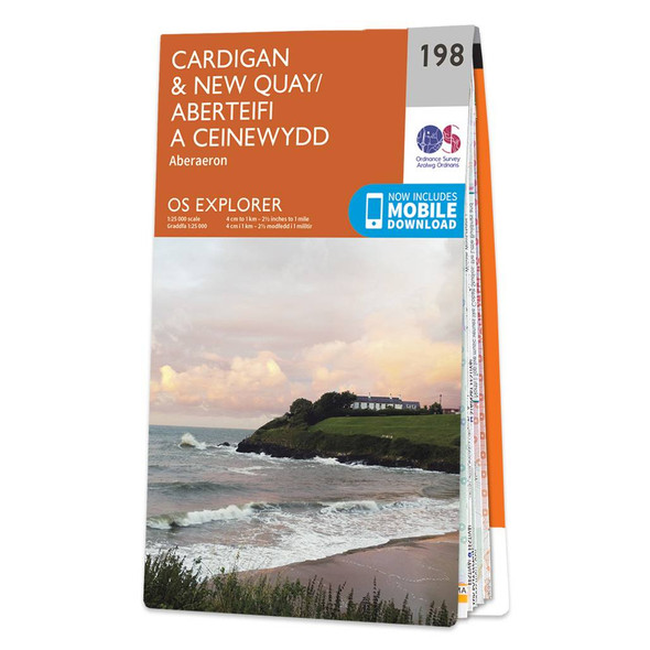
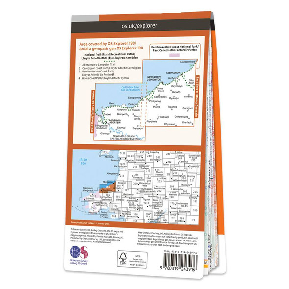
Map of Cardigan & New Quay
Ordnance Survey
£12.99 - £16.99Map of Cardigan & New Quay - OS Explorer Map 198 (inc. Aberaeron)Standard Publication Date: 16/09/2015Weatherproof Publication Date: 16/09/2015£12.99 - £16.99 -
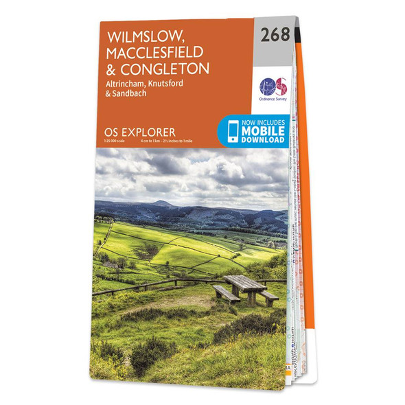

Map of Wilmslow, Macclesfield & Congleton
Ordnance Survey
£12.99 - £16.99Map of Wilmslow, Macclesfield & Congleton - OS Explorer Map 268 (Altrincham, Knutsford & Sandbach) Format: Folded map Physical Size: 890 x 1000 mm (134 x 227 mm folded) Standard Publication Date: 16/09/2015Weatherproof Publication Date:...£12.99 - £16.99 -
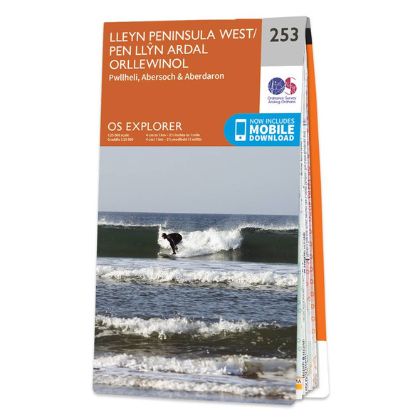
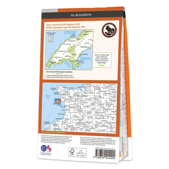
Map of Lleyn Peninsula West
Ordnance Survey
£12.99 - £16.99Map of Lleyn Peninsula West - OS Explorer Map 253 (Pwllheli, Abersoch & Aberdaron) Format: Folded map Physical Size: 1270 x 952 mm (133 x 240 mm folded) Standard Publication Date: 17/04/2024Weatherproof Publication: 16/09/2015£12.99 - £16.99 -
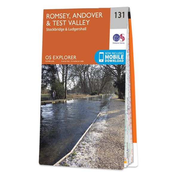

Map of Romsey, Andover & Test Valley
Ordnance Survey
£12.99 - £16.99Map of Romsey, Andover & Test Valley - OS Explorer Map 131 (Stockbridge & Ludgershall) Format: Folded map Physical Size: 1000 x 890 mm (134 x 227 mm folded) Standard Publication Date: 16/09/2015 Weatherproof Publication Date: 16/09/2015£12.99 - £16.99 -
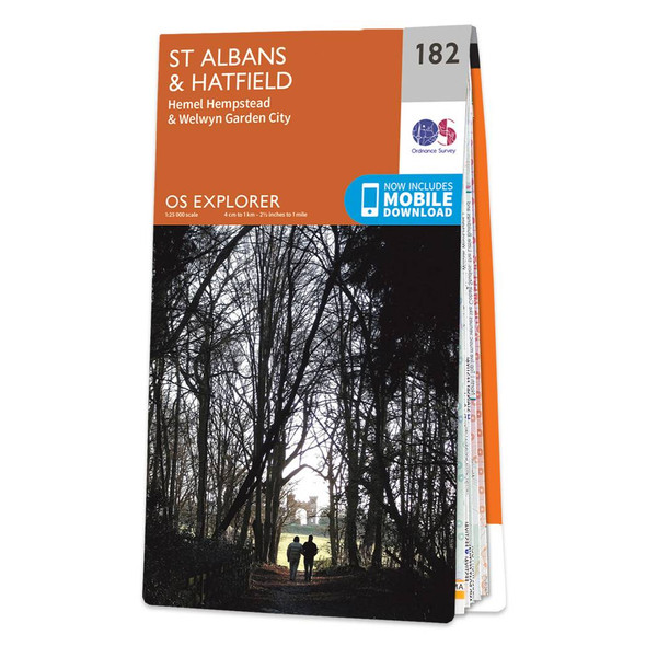

Map of St Albans & Hatfield
Ordnance Survey
£12.99 - £16.99Map of St Albans & Hatfield - OS Explorer Map 182 (Hemel Hempstead & Welwyn Garden City)Standard Publication Date: 08/02/2018Weatherproof Publication Date: 28/02/2018£12.99 - £16.99 -
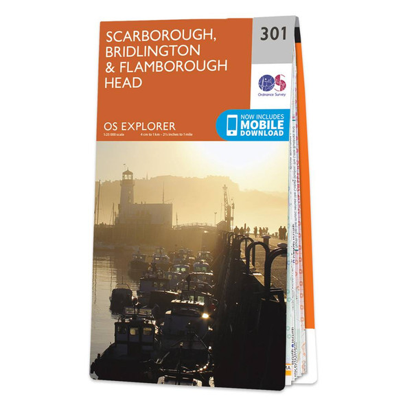
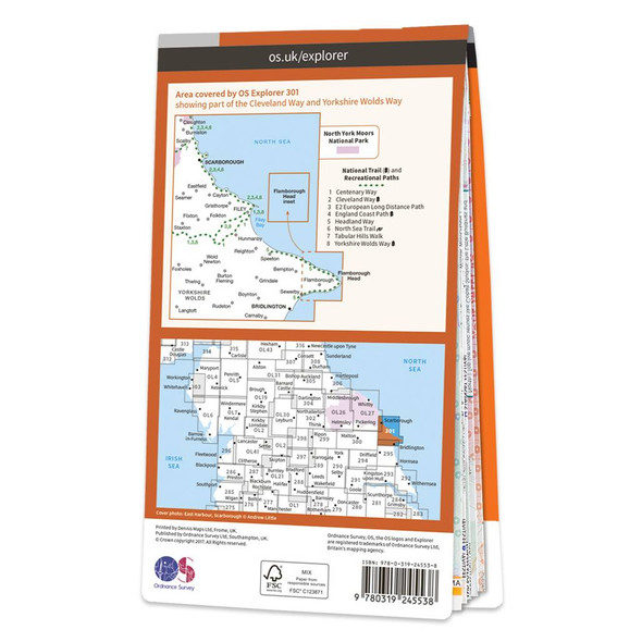
Map of Scarborough, Bridlington & Flamborough Head
Ordnance Survey
£12.99 - £16.99Map of Scarborough, Bridlington & Flamborough Head - OS Explorer Map 301Standard Publication Date: 19/10/2017Weatherproof Publication Date: 18/01/2018£12.99 - £16.99 -
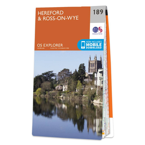

Map of Hereford & Ross-on-Wye
Ordnance Survey
£12.99 - £16.99Map of Hereford & Ross-on-Wye - OS Explorer Map 189Standard Publication Date: 16/09/2015Weatherproof Publication Date: 16/09/2015£12.99 - £16.99 -

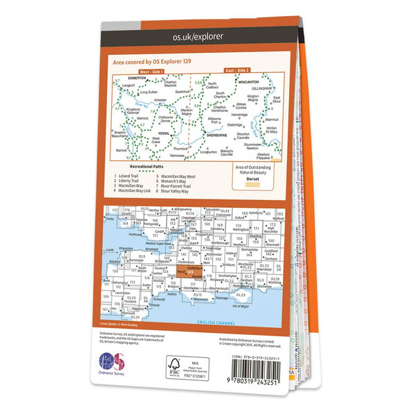
Map of Yeovil & Sherborne
Ordnance Survey
£12.99 - £16.99Map of Yeovil & Sherborne - OS Explorer Map 129 (Somerton & Wincanton)Standard Publication Date: 16/09/2015Weatherproof Publication Date: 16/09/2015£12.99 - £16.99 -

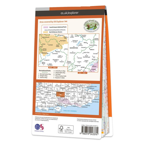
Map of Basingstoke
Ordnance Survey
£12.99 - £16.99Purchase the Basingstoke folded map: double-sided (boarded cover) from the OS Explorer Map rangeStandard Publication Date: 16/09/2015Weatherproof Publication Date: 16/09/2015£12.99 - £16.99 -
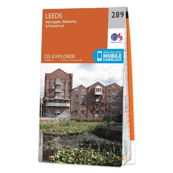

Map of Leeds
Ordnance Survey
£12.99 - £16.99Map of Leeds - OS Explorer Map 289 (Harrogate, Wetherby & Pontefract)Standard Publication Date: 16/09/2015Weatherproof Publication Date: 23/06/2020£12.99 - £16.99 -
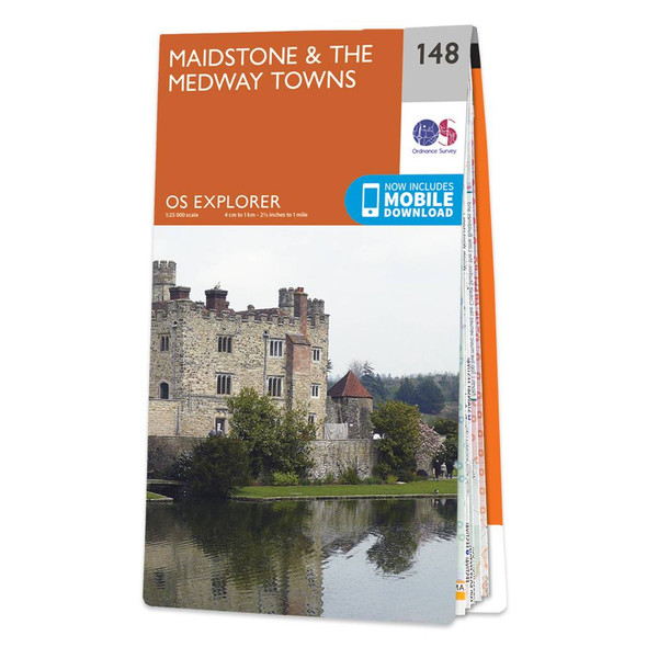
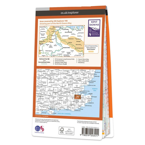
Map of Maidstone & the Medway Towns
Ordnance Survey
£12.99 - £16.99Map of Maidstone & the Medway Towns - OS Explorer Map 148Standard Publication Date: 16/09/2015Weatherproof Publication Date: 16/09/2015£12.99 - £16.99 -

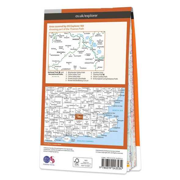
Map of Windsor, Weybridge & Bracknell
Ordnance Survey
£12.99 - £16.99Map of Windsor, Weybridge & Bracknell - OS Explorer Map 160Standard Publication Date: 16/09/2015Weatherproof Publication Date: 16/09/2015£12.99 - £16.99 -

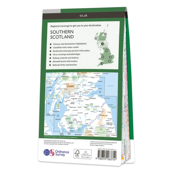
Map of Southern Scotland
Ordnance Survey
£7.99OS Road 3: Southern Scotland and Northumberland Mapping updated in 2023 Ideal for planning long distance journeys Handy back-up to your satnav Quickly find alternative routes in heavy traffic Detailed map symbols and contouring Format: Folded map£7.99 -
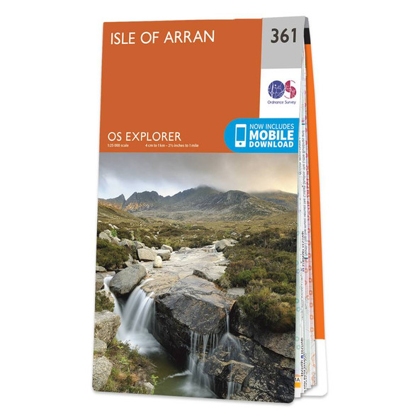
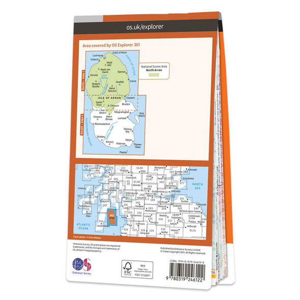
Map of Isle of Arran
Ordnance Survey
£12.99 - £16.99Map of Isle of Arran - OS Explorer Map 361 Format: Folded map Physical Size: 1000 x 890 mm (134 x 227 mm folded) Standard Publication Date: 01/03/2021Weatherproof Publication Date: 01/03/2021£12.99 - £16.99 -


Map of London North
Ordnance Survey
£12.99 - £16.99Map of London North - OS Explorer Map 173 (The City, West End, Enfield, Ealing, Harrow & Watford)Standard Publication Date: 16/09/2015Weatherproof Publication Date: 16/09/2015£12.99 - £16.99 -

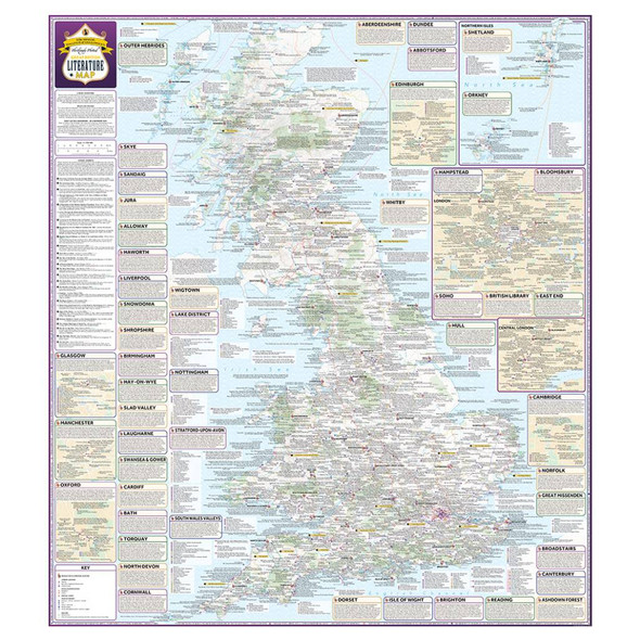
Great British Literature Map
Marvellous Maps
£14.99Don't just be a bookworm… be a mapworm too!Britain's lush and leafy literary landscape is the perfect inspiration for adventures around these sceptr'd isles. From the highest brow to the lowest gutter, bookish Britain is a wonderland of wordsmithery,...£14.99 -
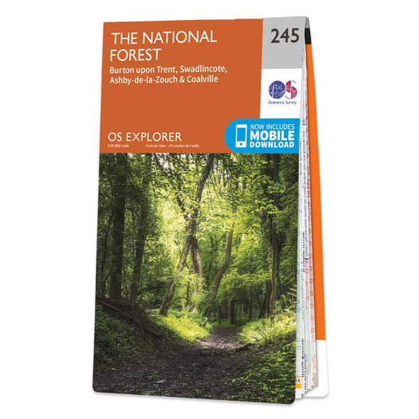

Map of The National Forest
Ordnance Survey
£12.99 - £16.99Map of The National Forest - OS Explorer Map 245 (Burton upon Trent, Swadlincote, Ashby-de-la-Zouch & Coalville) Format: Folded map Physical Size: 890 x 1000 mm (134 x 227 mm folded) Standard Publication Date: 04/12/2017Weatherproof Publication...£12.99 - £16.99 -
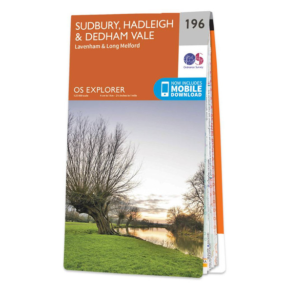
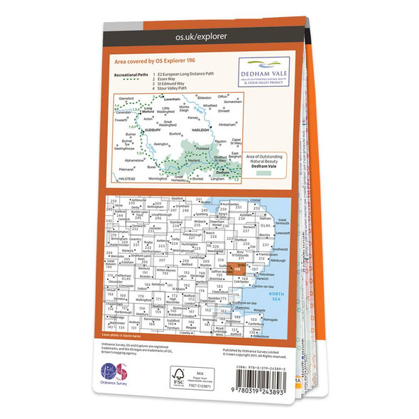
Map of Sudbury, Hadleigh & Dedham Vale
Ordnance Survey
£12.99 - £16.99Map of Sudbury, Hadleigh & Dedham Vale - OS Explorer Map 196 (Lavenham & Long Melford) Format: Folded map Physical Size: 1270 x 952 mm (133 x 240 mm folded) Standard Publication Date: 16/09/2015Weatherproof Publication Date: 16/09/2015£12.99 - £16.99 -

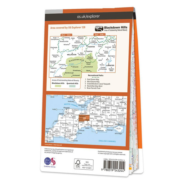
Map of Taunton & Blackdown Hills
Ordnance Survey
£12.99 - £16.99Map of Taunton & Blackdown Hills - OS Explorer Map 128 (Wellington & Ilminster)Standard Publication Date: 16/09/2015Publication Date: 16/09/2015£12.99 - £16.99 -
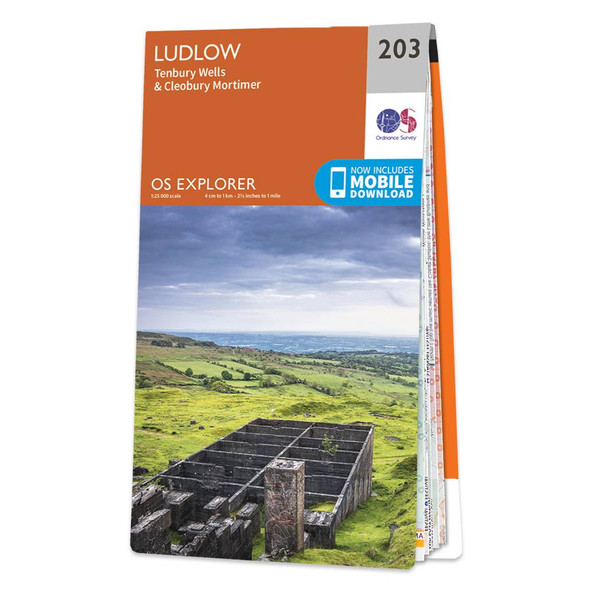
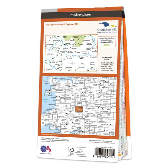
Map of Ludlow
Ordnance Survey
£12.99 - £16.99Map of Ludlow - OS Explorer Map 203 (Tenbury Wells & Cleobury Mortimer) Format: Folded map Physical Size: 1270 x 952 mm (133 x 240 mm folded) Standard Publication Date: 22/09/2023Weatherproof Publication Date: 17/04/2024£12.99 - £16.99 -
-30%
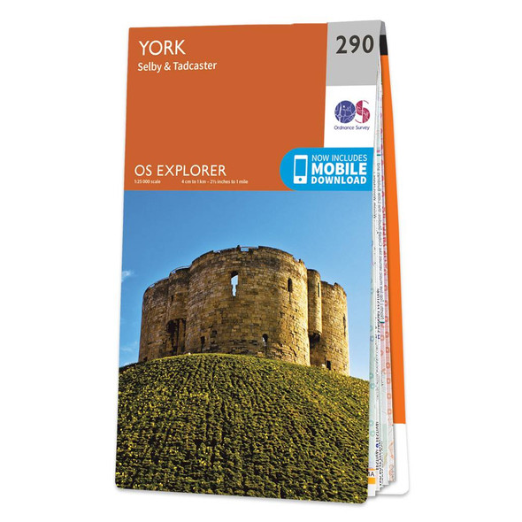
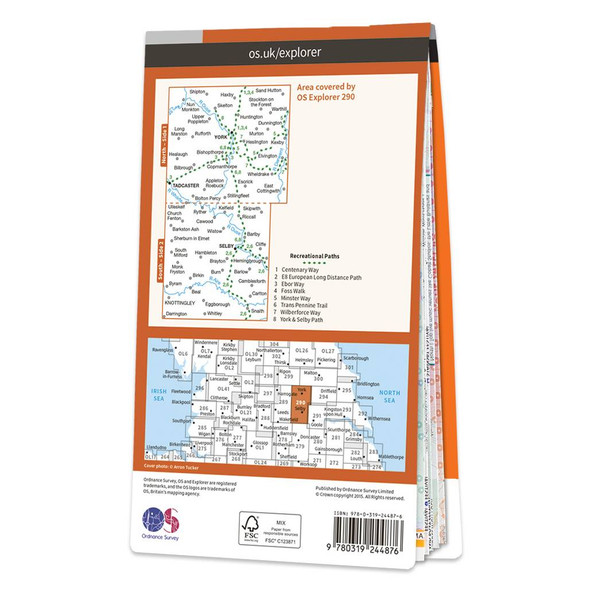
Map of York
Ordnance Survey
£9.10 - £11.90Map of York - OS Explorer Map 290 (Selby & Tadcaster)Standard Publication Date: 18/03/2024Weatherproof Publication Date: 16/09/2015£9.10 - £11.90 -

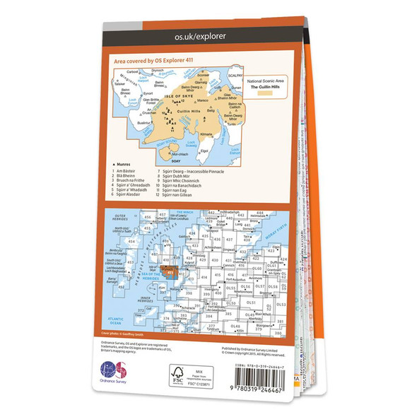
Map of Skye - Cuillin Hills
Ordnance Survey
£12.99 - £16.99Map of Skye - Cuillin Hills - OS Explorer Map 411 (Soay)Standard Publication Date: 16/09/2015Weatherproof Publication Date: 16/09/2015£12.99 - £16.99 -


Map of Cardiff & Bridgend
Ordnance Survey
£12.99 - £16.99Map of Cardiff & Bridgend - OS Explorer Map 151 (Vale of Glamorgan)Standard Publication Date: 16/09/2015Weatherproof Publication Date: 16/09/2015£12.99 - £16.99 -


Map of Nottingham
Ordnance Survey
£12.99 - £16.99Map of Nottingham - OS Explorer Map 260 (Vale of Belvoir) Format: Folded map Physical Size: 1000 x 890 mm (134 x 227 mm folded) Standard Publication Date: 05/07/2017Weatherproof Publication Date: 29/09/2017£12.99 - £16.99 -


Map of Colchester Harwich & Clacton-on-Sea
Ordnance Survey
£12.99 - £16.99Map of Colchester - OS Explorer Map 184 (Harwich & Clacton-on-Sea) Format: Folded map Physical Size: 890 x 1000 mm (134 x 227 mm folded) Standard Publication Date: 16/09/2015Weatherproof Publication Date: 16/09/2015£12.99 - £16.99 -

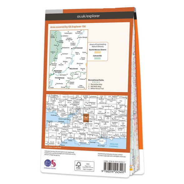
Map of Chippenham & Bradford-on-Avon
Ordnance Survey
£12.99 - £16.99Map of Chippenham & Bradford-on-Avon - OS Explorer Map 156 (Trowbridge & Melksham) Format: Folded map Physical Size: 952 x 1270 mm (133 x 240 mm folded) Standard Publication Date: 16/09/2015 Weatherproof Publication Date: 16/09/2015£12.99 - £16.99 -
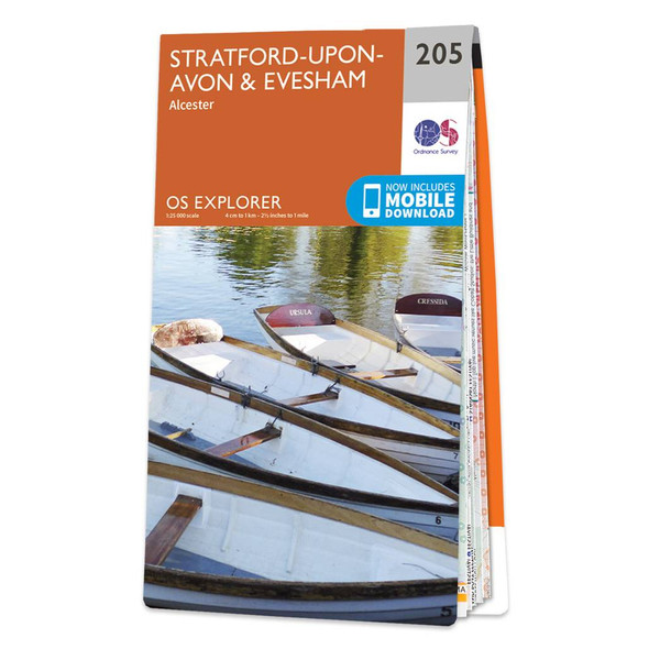
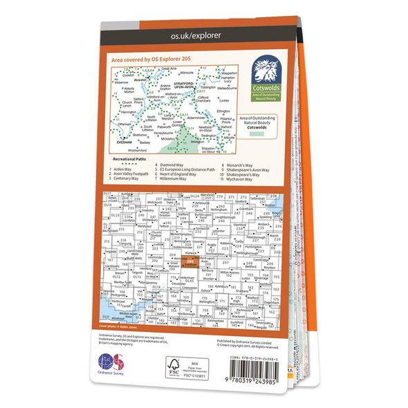
Map of Stratford-upon-Avon & Evesham
Ordnance Survey
£12.99 - £16.99Map of Stratford-upon-Avon & Evesham - OS Explorer Map 205 (Alcester)Standard Publication Date: 19/03/2021Weatherproof Publication Date: 14/04/2021£12.99 - £16.99 -
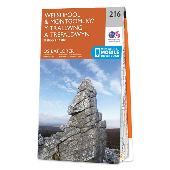
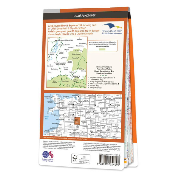
Map of Welshpool & Montgomery
Ordnance Survey
£12.99 - £16.99Map of Welshpool & Montgomery - OS Explorer Map 216 (Bishop's Castle) Format: Folded map Physical Size: 952 x 1270 mm (133 x 240 mm folded) Standard Publication Date: 16/09/2015Weatherproof Publication Date: 16/09/2015£12.99 - £16.99 -

Map of Exeter & the Exe Valley
Ordnance Survey
£12.99 - £16.99Map of Exeter & the Exe Valley - OS Explorer Map 114 (Crediton, Tiverton & Dulverton)Standard Publication Date: 16/09/2015Weatherproof Publication Date: 16/09/2015£12.99 - £16.99 -
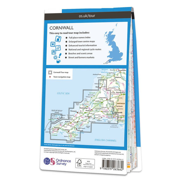 £6.99
£6.99 -
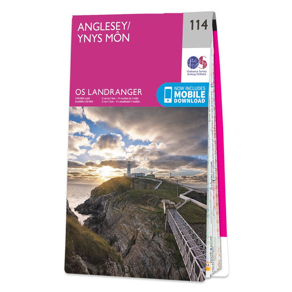
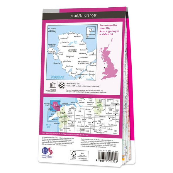
Map of Anglesey
Ordnance Survey
£12.99 - £16.99The Landranger map of Anglesey/Ynys Môn is a must-have for your next trip to the area. Landranger maps are perfect for extensive hikes, cycling, and driving holidays. Ideal for planning days out or holidays to the rural Welsh island of Anglesey;...£12.99 - £16.99 -
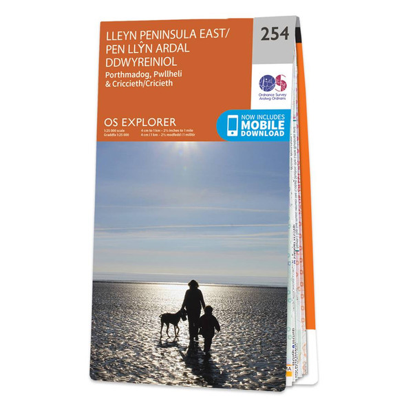
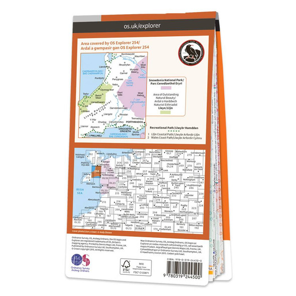
Map of Lleyn Peninsula East
Ordnance Survey
£12.99 - £16.99Map of Lleyn Peninsula East - OS Explorer Map 254 (Porthmadog, Criccieth & Pwllheli)Standard Publication Date: 16/09/2015Weatherproof Publication Date: 16/09/2015£12.99 - £16.99 -


Map of North West Norfolk
Ordnance Survey
£12.99 - £16.99The Landranger map of North West Norfolk, including King's Lynn & Fakenham. Landranger maps are perfect for extensive hikes, cycling, and driving holidays. Ideal for planning days out or holidays to the North West Norfolk, as well as King's Lynn,...£12.99 - £16.99 -

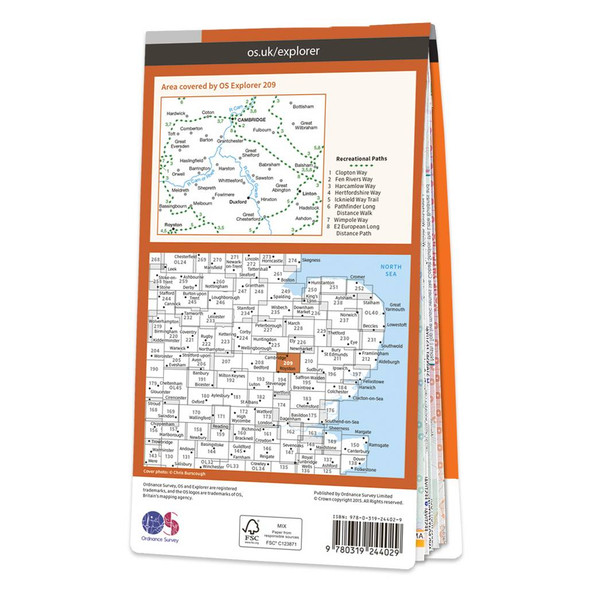
Map of Cambridge
Ordnance Survey
£12.99 - £16.99Map of Cambridge - OS Explorer Map 209 (Royston, Duxford & Linton) Format: Folded map Physical Size: 1270 x 952 mm (133 x 240 mm folded) Standard Publication Date: 16/09/2015Weatherproof Publication Date: 16/09/2015£12.99 - £16.99 -

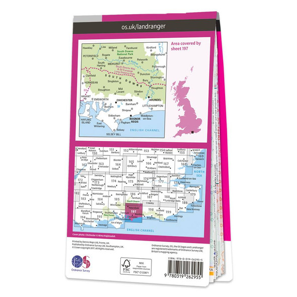
Map of Chichester & the South Downs
Ordnance Survey
£12.99 - £16.99The Landranger map of Chichester and the South Downs is a must-have for your next trip to the area. Landranger maps are perfect for extensive hikes, cycling, and driving holidays. Ideal for planning a trip to this area of stunning sand dunes, historical...£12.99 - £16.99 -

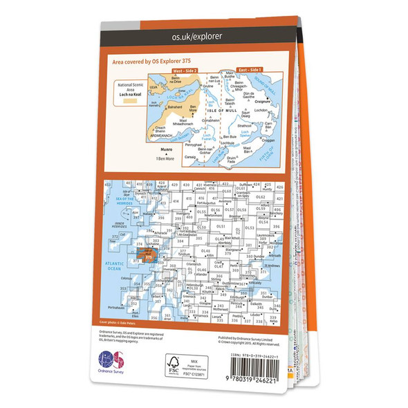
Map of Isle of Mull East
Ordnance Survey
£12.99 - £16.99Map of Isle of Mull East - OS Explorer Map 375 (Craignure) Format: Folded map Physical Size: 890 x 1000 mm (134 x 227 mm folded) Standard Publication Date: 16/09/2015Weatherproof Publication Date: 16/09/2015£12.99 - £16.99 -
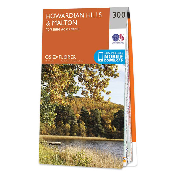
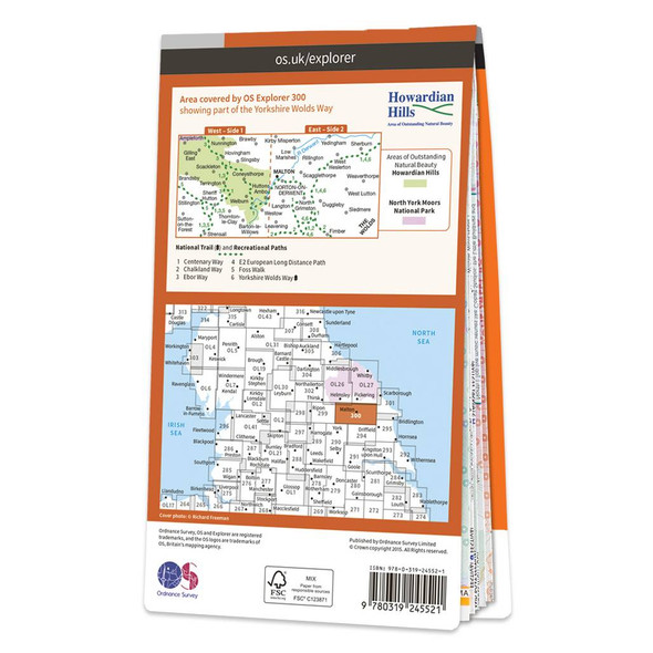
Map of Howardian Hills & Malton
Ordnance Survey
£12.99 - £16.99Map of Howardian Hills & Malton - OS Explorer Map 300 (Yorkshire Wolds North)Standard Publication Date: 16/09/2015Weatherproof Publication Date: 16/09/2015£12.99 - £16.99
Traditional folded paper maps for walking, hiking, cycling or holidays that fit in your rucksack, bag or glove compartment. Use the filters to narrow down the list, or use the search above to search for a specific map.