
Paper Maps
Traditional folded paper maps for walking, hiking, cycling or holidays that fit in your rucksack, bag or glove compartment. Use the filters to narrow down the list, or use the search above to search for a specific map.
-

 £7.99 - £350.00
 -

Map of The Peak District - White Peak Area
Ordnance Survey
£12.99 - £16.99Encounter beautiful countryside, distinctive drystone walls and quaint British villages such as Buxton & Bakewell. Treat yourself to the famous Bakewell tart, discover the stunning limestone landscape, and explore caves and gorges that inspired the...£12.99 - £16.99 -
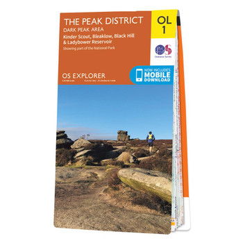
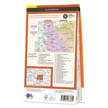
Map of The Peak District - Dark Peak Area
Ordnance Survey
£12.99 - £16.99The OS Explorer map of The Peak District: Dark Peak, is a must-have when visiting the Dark Peak Area of the Peak District.Famous for its vast exposed moorlands, waves of plateauing gritstone, feather bed bogs covered in cotton grass, and heather moors...£12.99 - £16.99 -
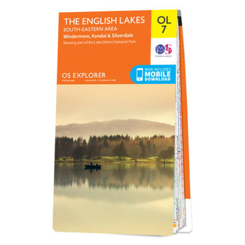
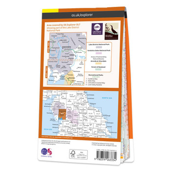
Map of The Lake District: South-eastern area
Ordnance Survey
£12.99 - £16.99The OS Explorer map of The English Lakes, South-Eastern Area, including Windermere, Kendal, & Silverdale.Displaying the South-Eastern part of the Lake District National Park, OL7 is a must-have when visiting the area.Soak up stunning views at Lake...£12.99 - £16.99 -


Map of Snowdon
Ordnance Survey
£12.99 - £16.99Explore Snowdon with ease and marvel at the beautiful sceneries of Northern Snowdonia. Our OS explorer range is in 1:25 000 scale, meaning 4cm is 1km (2½ inches is 1 mile). This map covers Northern Snowdonia in both English & Welsh. It contains key...£12.99 - £16.99 -
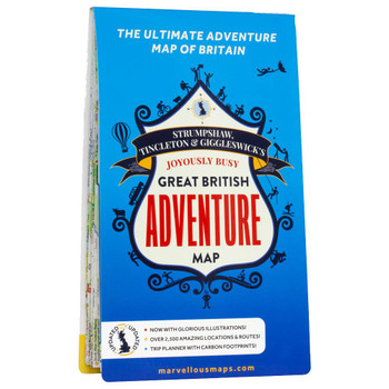
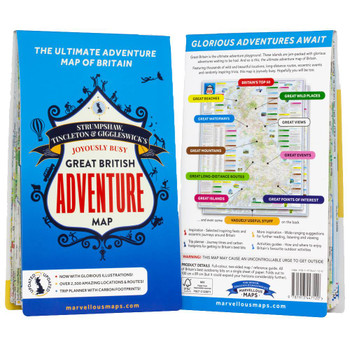
Great British Adventure Map
Marvellous Maps
£14.99 - £19.99Marvellous Maps, an independent British publisher, have fully updated the Great British Adventure Map for its 2nd edition, which now includes glorious illustrations, even more great outdoorsy locations and routes, and a unique trip planner with carbon...£14.99 - £19.99 -
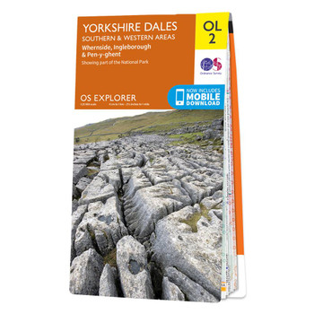

Map of Yorkshire Dales - Southern & Western Area
Ordnance Survey
£12.99 - £16.99The OS Explorer map of Yorkshire Dales, Southern & Western area, including Whernside, Ingleborough, & Pen-y-ghent.Whether you're looking to take on all three peaks or just looking for a hike through the South-West of the dales, this map is a must-have...£12.99 - £16.99 -
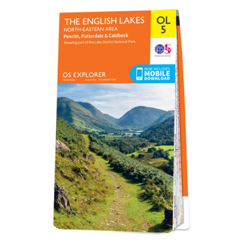

Map of The Lake District: North-eastern area
Ordnance Survey
£12.99 - £16.99The OS Explorer map of the English Lakes, North-Eastern Area, including Penrith, Patterdale, & Caldbeck.This a must-have when visiting the North-Eastern area of the Lakes, whether you're looking to explore the Castle at Penrith or the beautifully green...£12.99 - £16.99 -
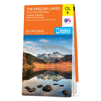
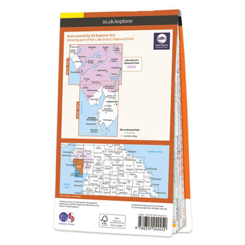
Map of The Lake District: South-western area
Ordnance Survey
£12.99 - £16.99The OS Explorer map of The English Lakes, South-Western Area is a must-have when visiting this area of the Lakes District.Explore the market town of Ulverston — a stunning labyrinth of gorgeous old buildings and cobbled streets. Take on the highest peak...£12.99 - £16.99 -
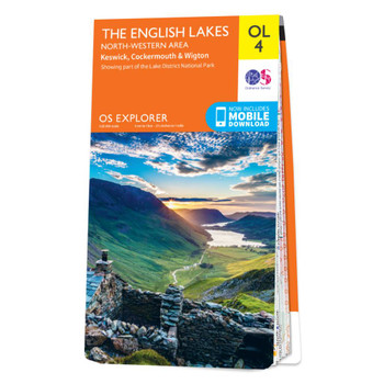
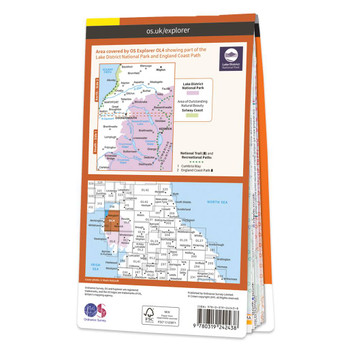
Map of The Lake District: North-western area
Ordnance Survey
£12.99 - £16.99The OS Explorer map of The English Lakes, North Western area, including Keswick, Cockermouth, & Wigton.Explorer OL4 is a must-have when visiting the North-West area of the Lakes. Take in the stunning sights on the Catbells walk, soak up the views at...£12.99 - £16.99 -
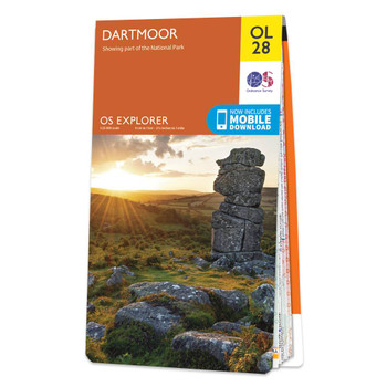
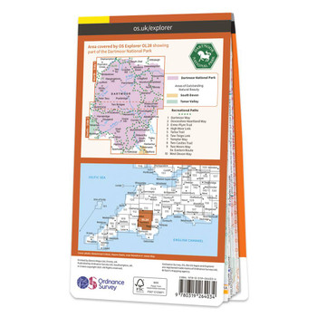
Map of Dartmoor
Ordnance Survey
£12.99 - £16.99Our most detailed map of Dartmoor including both the North & South side.The Explorer OL28 Dartmoor map is a must-have companion if you want to experience the area in complete detail! Discover stunning landscapes in this vast moorland, find peace among...£12.99 - £16.99 -
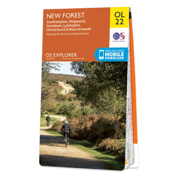
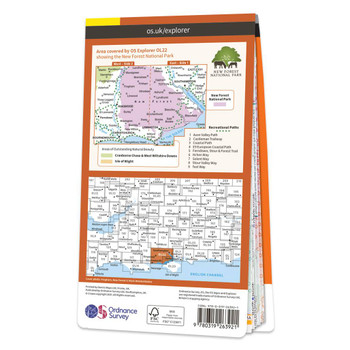
Map of New Forest
Ordnance Survey
£12.99 - £16.99Explore what the New Forest has on offer. Discover picturesque villages among sprawling heathland. Witness beautiful ponies grazing — one of the few places in the UK with commoners rights.Take a journey along the coast and stumble upon docks and beaches;...£12.99 - £16.99 -
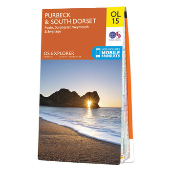

Map of Purbeck and South Dorset
Ordnance Survey
£12.99 - £16.99The OS Explorer map of Purbeck and South Dorset is perfect for planning your next trip to the area. The Jurassic coast draws in many outdoor enthusiasts, not purely for its sheer beauty but its history too. South Dorset is full of stunning countryside —...£12.99 - £16.99 -

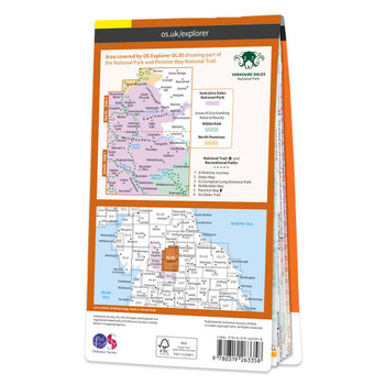
Map of Yorkshire Dales - Northern & Central Area
Ordnance Survey
£12.99 - £16.99The OS Explorer map of Yorkshire Dales, Northern & Central area, including Wensleydale and Swaledale, is a must-have when visiting the area. There is a wealth of scenery in this part of the Yorkshire Dales National park.Explore the northernmost dale of...£12.99 - £16.99 -
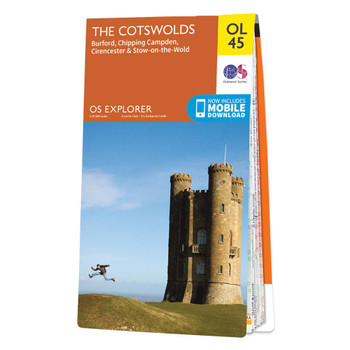
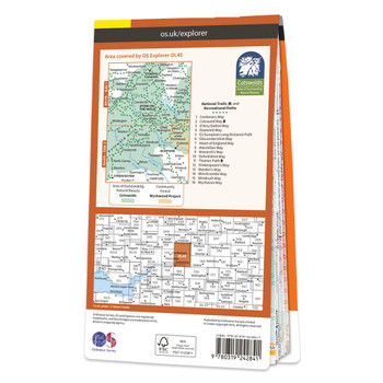
Map of The Cotswolds
Ordnance Survey
£12.99 - £16.99The OS Explorer map of the Cotswolds, includes Burford, Chipping Campden, Cirencester, and Stow-on-the-wold. This map is the perfect companion when visiting the Cotswolds AONB. Explore the rolling hills and green meadows, adventure into the Wychwood...£12.99 - £16.99 -
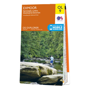

Map of Exmoor
Ordnance Survey
£12.99 - £16.99The OS Explorer map of Exmoor, including Barnstaple, Lynton, Minehead, and Dulverton is a must-have when visiting the area.Discover pebble beaches, rocky cliffs, and green valleys. Stop in one of the picturesque postcard villages or small towns for a...£12.99 - £16.99 -
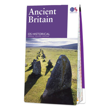

Ancient Britain
Ordnance Survey
£7.99Discover Britain's ancient past and famous historical events with this double-sided map that covers features from Palaeolithic and Mesolithic to the early Middle Ages.£7.99 -

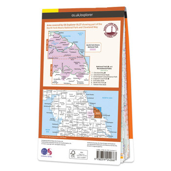
Map of North York Moors - Eastern area
Ordnance Survey
£12.99 - £16.99Explorer OL27 is a must-have when visiting the Eastern area of the North York Moors.These beautiful uplands, containing one of Britain's largest expanses of Heather moorland, are packed full of awe-inspiring scenes to explore and things to do. Check out...£12.99 - £16.99 -
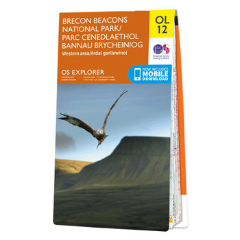

Map of Brecon Beacons National Park (Western Area)
Ordnance Survey
£12.99 - £16.99The OS Explorer map of Brecon Beacons, Western Area is a must-have when visiting the Western Area of the National Park. Whether you're interests are summiting Pen-y-Fan — the highest peak in South Wales, exploring local villages such as the quaint...£12.99 - £16.99 -
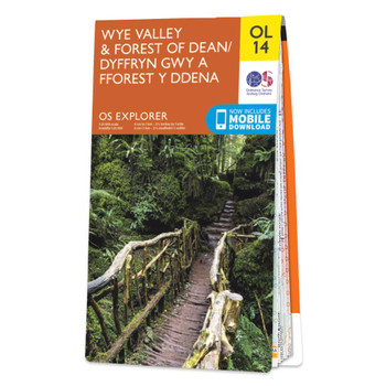

Map of Wye Valley & Forest of Dean
Ordnance Survey
£12.99 - £16.99Map of Wye Valley & Forest of Dean - OS Explorer Map OL14 Format: Folded map Physical Size: 952 x 1270 mm (134 x 227 mm folded) Standard Publication Date: 24/02/2020Weatherproof Publication Date: 28/02/2020£12.99 - £16.99 -

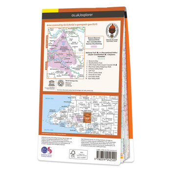
Map of Brecon Beacons National Park (Eastern Area)
Ordnance Survey
£12.99 - £16.99The OS Explorer map of Brecon Beacon National Park, Eastern Area.This a must-have when visiting this stunning area of open green landscapes, nature reserves, and waterfalls.There is so much to explore, such as the remains of Crickhowell Castle, a grade 1...£12.99 - £16.99 -

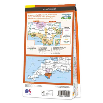
Map of South Devon
Ordnance Survey
£12.99 - £16.99The Explorer map of South Devon will be your best friend for your next trip to the area. The Explorer range is perfect for just that — exploring! Check out Salcombe, a charming estuary town in the South Devon AONB area; famous for its sailing and...£12.99 - £16.99 -

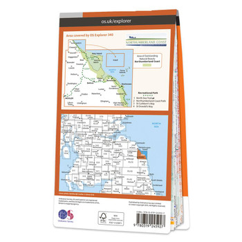
Map of Holy Island & Bamburgh
Ordnance Survey
£12.99 - £16.99Take an adventure to Holy Island and Bamburgh with OS Explorer 340. Steeped in history and renowned for its stunning views and forests, it's no secret why the area attracts so many visitors.Drift over to the Farne Islands where you can spot Puffins...£12.99 - £16.99 -


Map of Land's End
Ordnance Survey
£12.99 - £16.99Map of Land's End - OS Explorer Map 102 (Penzance & St Ives)Standard Publication Date: 24/06/2019 Weatherproof Publication Date: 24/06/2019£12.99 - £16.99 -
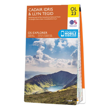
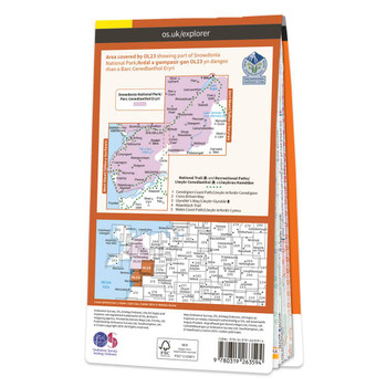
Map of Cadair Idris & Bala Lake
Ordnance Survey
£12.99 - £16.99The OS Explorer map of Cadair Idris & Llyn Tegid (Bala Lake) is a must-have for your next trip to the this area of Snowdonia National Park.The mountain range of Cadair Idris is popular with hikers and people looking for challenging terrain to explore...£12.99 - £16.99 -
On Sale


OS Explorer Lake District map set
Ordnance Survey
£41.57 - £54.37OS Explorer Maps OL4, OL5, OL6 & OL7 The Lake District National Park (or just 'The Lakes') contains 19 major lakes and some significant mountains or fells, including Scafell Pike, the tallest mountain in England at 978 m. The dramatic scenery of the...£41.57 - £54.37 -
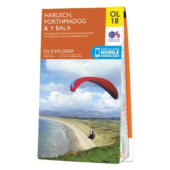

Map of Harlech, Porthmadog & Y Bala
Ordnance Survey
£12.99 - £16.99Croeso!The OS Explorer map of Harlech, Porthmadog, & Y Bala is a must-have when visiting the area!Where the land meets the sea; explore grassy meadows, picturesque scenes of grazing sheep, dense woodlands, and beautiful beaches.Gaze across the sea from...£12.99 - £16.99 -
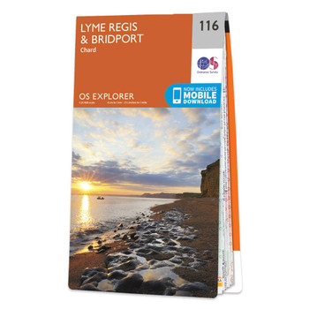
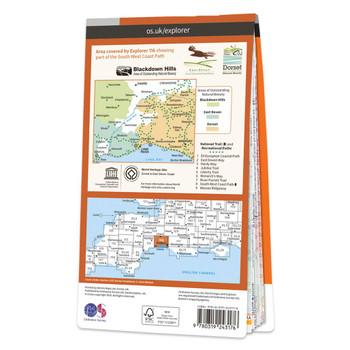
Map of Lyme Regis & Bridport
Ordnance Survey
£12.99 - £16.99The OS Explorer map of Lyme Regis & Bridport covers the area between East Devon and West Dorset (between Beer and Burton Bradstock).With so much to discover, Explorer 116 is a must-have companion when visiting both Lyme Regis and Bridport. Lyme Regis is...£12.99 - £16.99 -


Map of Hadrian's Wall
Ordnance Survey
£12.99 - £16.99Map of Hadrian's Wall - OS Explorer Map OL43 (Haltwhistle & Hexham)Publication Date: 10/06/2015£12.99 - £16.99 -
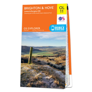
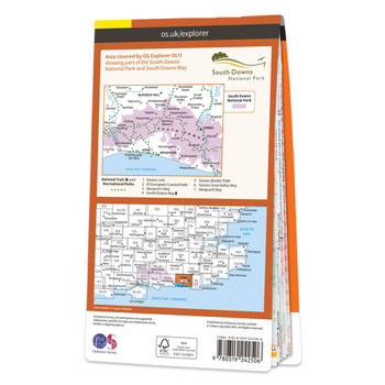
Map of Brighton & Hove
Ordnance Survey
£12.99 - £16.99The OL 11 Brighton & Hove Explorer map gives you the most detailed overview of the area, including Lewes and Burgess Hill — ideal for those seeking adventure in area.The coast can be explored by foot taking in the scenery of Brighton, Hove, Portslade,...£12.99 - £16.99 -
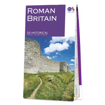

Roman Britain
Ordnance Survey
£7.99The map of Roman Britain highlights cities, roads and important ancient monuments, plus a wide range of valuable background details of life at the time.£7.99 -


Map of Guildford & Farnham
Ordnance Survey
£12.99 - £16.99The OS Explorer map of Guildford and Farnham, including Godalming and Farnborough. Surrey is the most wooded county in Britain, and the Surrey Hills have been made an 'Area of Outstanding Natural Beauty'. Explore bustling market towns, to quiet tranquil...£12.99 - £16.99 -
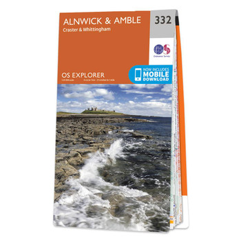
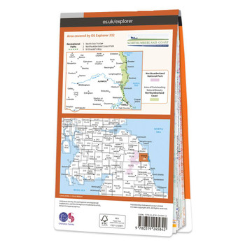
Map of Alnwick & Amble
Ordnance Survey
£12.99 - £16.99The OS Explorer map of Alnwick and Amble, including Craster and Whittingham, is a must-have when visiting the area.This map covers the Northumbrian Coast from Embleton Bay to Amble and inland as far as the source of the River Aln. Places to visit include...£12.99 - £16.99 -
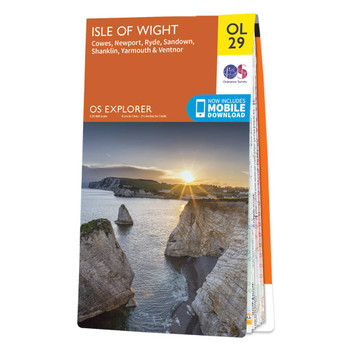

Map of Isle of Wight
Ordnance Survey
£12.99 - £16.99Map of Isle of Wight - OS Explorer Map OL29 (Cowes, Newport, Ryde, Sandown, Shanklin, Yarmouth & Ventnor)Publication Date: 27/05/2019£12.99 - £16.99 -


Map of South Pennines
Ordnance Survey
£12.99 - £16.99The OS Explorer map of South Pennines, including Burnley, Hebden Bridge, Keighley, and Todmorden.OL21 a must-have when visiting this wuthering landscape. A picturesque place as if pulled from a fairytale; steep valleys, heather covered moorlands, canals,...£12.99 - £16.99 -
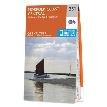

Map of Norfolk Coast Central
Ordnance Survey
£12.99 - £16.99The OS Explorer map of Norfolk Coast Central, including Wells-next-the-Sea & Fakenham, is a must-have when visiting the area. An abundance of beautiful scenery and things to do, take a visit to Wells-next-the-Sea — a small port town on the north of...£12.99 - £16.99 -
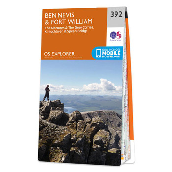

Map of Ben Nevis & Fort William
Ordnance Survey
£12.99 - £16.99Conquer Ben Nevis the highest mountain in Britain and soak up the spectacular panoramic views of the Scottish Highlands from its peak.Explore the myriad of activities on offer in Lochaber the Outdoor Capital of the UK. The area is famous for its...£12.99 - £16.99 -

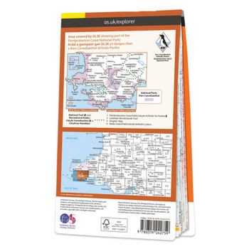
Map of South Pembrokeshire
Ordnance Survey
£12.99 - £16.99The OS Explorer map of South Pembrokeshire is a must-have when visiting the West Coast of Wales. South Pembrokeshire is a favourite among families — and people of all ages, due to its sandy beaches and popular seaside towns such as Tenby.There is an...£12.99 - £16.99 -

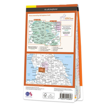
Map of Forest of Bowland
Ordnance Survey
£12.99 - £16.99Explorer OL41 of displays the Forest of Bowland and Yorkshire Dales National Park near Clitheroe.It's a must-have when planning in depth explorations of the forest, with many recreational paths mapped including Dales High Way, Lancashire Coastal Way,...£12.99 - £16.99 -
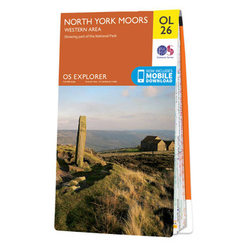

Map of North York Moors - Western area
Ordnance Survey
£12.99 - £16.99Explorer OL26 is a must-have when visiting the area of the North York Moors. This map displays the Western area of the moors, the Cleveland hills, and a section of the Howardian Hills.These beautiful uplands, containing one of Britain's largest expanses...£12.99 - £16.99