
Paper Maps
Traditional folded paper maps for walking, hiking, cycling or holidays that fit in your rucksack, bag or glove compartment. Use the filters to narrow down the list, or use the search above to search for a specific map.
-

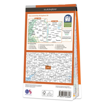
Map of Banbury, Bicester & Chipping Norton
Ordnance Survey
£12.99 - £16.99Purchase the Banbury, Bicester & Chipping Norton folded map: double-sided (boarded cover) from the OS Explorer Map range Format: Folded map Physical Size: 890 x 1000 mm (134 x 227 mm folded) Standard Publication Date: 16/09/2015 Weatherproof...£12.99 - £16.99 -

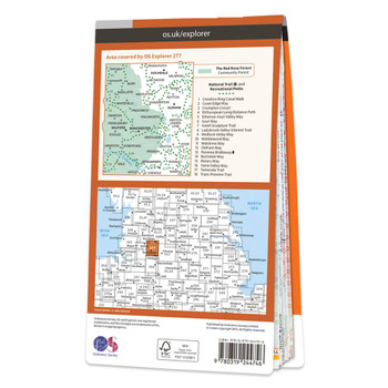
Map of Manchester & Salford
Ordnance Survey
£12.99 - £16.99Map of Manchester & Salford - OS Explorer Map 277 (Oldham, Rochdale & Stockport)Standard Publication Date: 16/09/2015Weatherproof Publication Date: 16/09/2015£12.99 - £16.99 -
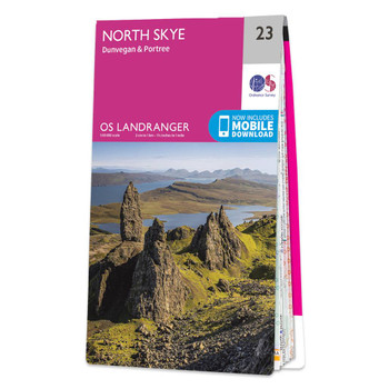

Map of North Skye
Ordnance Survey
£12.99 - £16.99The Landranger map of North Skye, including Dunvegan and Portree is a must-have for your next trip to the area. Landranger maps are perfect for extensive hikes, cycling, and driving holidays.Ideal for planning days out or holidays in the Northern area of...£12.99 - £16.99 -

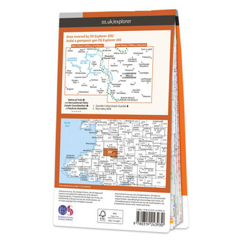
Map of Llandrindod Wells & Elan Valley
Ordnance Survey
£12.99 - £16.99Map of Llandrindod Wells & Elan Valley - OS Explorer Map 200 (Rhayader) Format: Folded map Physical Size: 890 x 1000 mm (134 x 227 mm folded) Standard Publication Date: 16/09/2015Weatherproof Publication Date: 16/09/2015£12.99 - £16.99 -

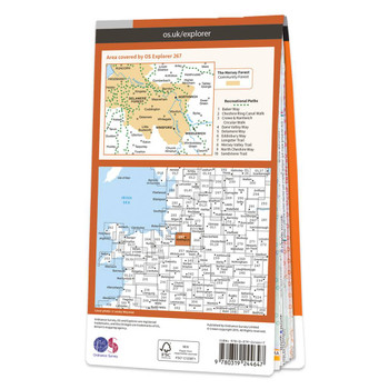
Map of Northwich & Delamere Forest
Ordnance Survey
£12.99 - £16.99Map of Northwich & Delamere Forest - OS Explorer Map 267 (Winsford & Middlewich) Format: Folded map Physical Size: 1270 x 952 mm (133 x 240 mm folded) Standard Publication Date: 16/09/2015Weatherproof Publication Date: 16/09/2015£12.99 - £16.99 -
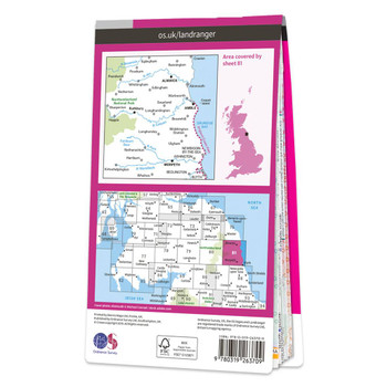
Map of Alnwick & Morpeth
Ordnance Survey
£12.99 - £16.99OS Landranger map 81: Alnwick and Morpeth, including Rothbury and Amble. This is a single sided map with card cover in 1:50 000 scale, ideal for cycling, tourism and general outdoor activities.Publication Date: 24/02/2016£12.99 - £16.99 -

Map of Isle of Mull North & Tobermory
Ordnance Survey
£12.99 - £16.99Map of Isle of Mull North & Tobermory - OS Explorer Map 374 (Ulva, Staffa & Treshnish Isles) Format: Folded map Physical Size: 890 x 1000 mm (134 x 227 mm folded) Standard Publication Date: 16/09/2015Weatherproof Publication Date: 16/09/2015£12.99 - £16.99 -

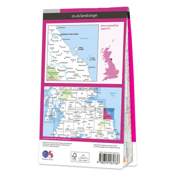
Map of Berwick-upon-Tweed, Holy Island & Wooler
Ordnance Survey
£12.99 - £16.99The Landranger map of Berwick-upon-Tweed, including Holy Island and Wooler is a must-have for your next trip to the area.Located close to the Scottish border, Berwick-upon-Tweed is the Northern-most town in England. There is an abundance of attractions...£12.99 - £16.99 -

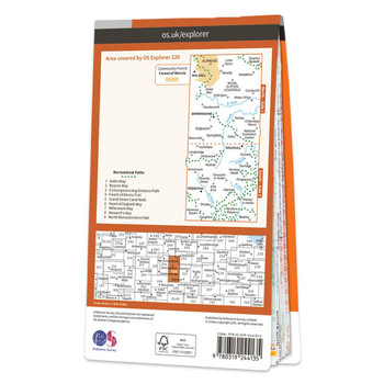
Map of Birmingham
Ordnance Survey
£12.99 - £16.99Map of Birmingham - OS Explorer Map 220 (Walsall, Solihull & Redditch)Standard Publication Date: 16/09/2015Weatherproof Publication Date: 16/09/2015£12.99 - £16.99 -


Map of Torridon - Beinn Eighe & Liathach
Ordnance Survey
£12.99 - £16.99Map of Torridon - Beinn Eighe & Liathach - OS Explorer Map 433 (Loch Maree, Kinlochewe & Gairloch) Format: Folded map Physical Size: 1270 x 952 mm (133 x 240 mm folded) Standard Publication Date: 16/09/2015Weatherproof Publication Date: 16/09/2015£12.99 - £16.99 -
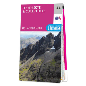

Map of South Skye & Cuillin Hills
Ordnance Survey
£12.99 - £16.99The Landranger map of South Skye & Cuillin Hills is a must-have for your next trip to the area. Landranger maps are perfect for extensive hikes, cycling, and driving holidays.Ideal for planning days out or holidays to the South Skye and Cuillin hills...£12.99 - £16.99 -
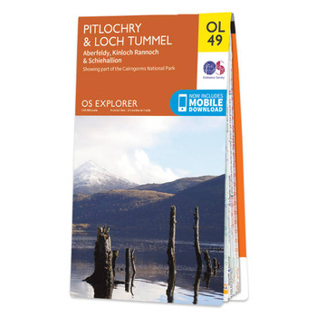
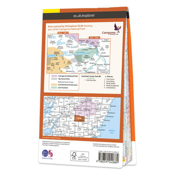
Map of Pitlochry & Loch Tummel
Ordnance Survey
£12.99 - £16.99Map of Pitlochry & Loch Tummel - OS Explorer Map OL 49 (Aberfeldy, Kinloch Rannoch & Schiehallion) Format: Folded map Physical Size: 890 x 1000 mm (134 x 227 mm folded) Publication Date: 10/06/2015£12.99 - £16.99 -
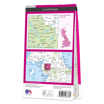
Map of Penrith & Keswick
Ordnance Survey
£12.99 - £16.99Take time to explore the lakes, spot mountain goats, or hike Scafell Pike. There are an abundance of things to do in the Penrith & Keswick area of the Lake District, and with OS mapping, finding everything on offer has never been easier.Our Landranger...£12.99 - £16.99 -

Map of Wirral & Chester
Ordnance Survey
£12.99 - £16.99Map of Wirral & Chester - OS Explorer Map 266Standard Publication Date: 16/09/2015Weatherproof Publication Date: 16/09/2015£12.99 - £16.99 -
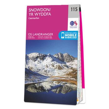

Map of Snowdon - Caernarfon
Ordnance Survey
£12.99 - £16.99The Landranger Map of Snowdon is the perfect companion for planning your next walking trip or holiday in Northern Snowdonia. This map comes in both English & Welsh and some of its highlights include Bangor, Caernarfon, Anglesey, and of course Snowdon.It...£12.99 - £16.99 -

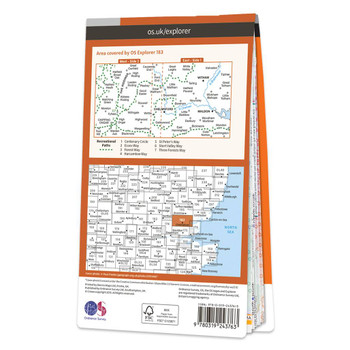
Map of Chelmsford & The Rodings
Ordnance Survey
£12.99 - £16.99Map of Chelmsford & The Rodings - OS Explorer Map 183 (Maldon & Witham) Format: Folded map Physical Size: 1000 x 890 mm (134 x 227 mm folded) Standard Publication Date: 16/09/2015Weatherproof Publication Date: 16/09/2015£12.99 - £16.99 -
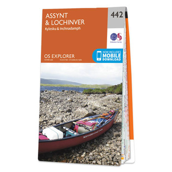
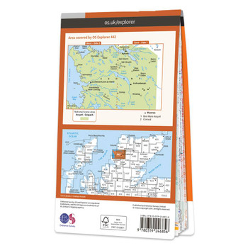
Map of Assynt & Lochinver
Ordnance Survey
£12.99 - £16.99Assynt & Lochinver (Kylesku & Inchnadamph) map: OS Explorer map 442 Format: Folded map Physical Size: 890 x 1000 mm (134 x 227 mm folded) Standard Publication Date: 16/09/2015Weatherproof Publication Date: 16/09/2015£12.99 - £16.99 -


Map of Clwydian Range
Ordnance Survey
£12.99 - £16.99Map of Clwydian Range - OS Explorer Map 265 (Prestatyn, Mold & Ruthin) Format: Folded map Physical Size: 1270 x 952 mm (133 x 240 mm folded) Standard Publication Date: 16/09/2015Weatherproof Publication Date: 16/09/2015£12.99 - £16.99 -

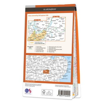
Map of Bedford & St Neots
Ordnance Survey
£12.99 - £16.99Purchase the Bedford & St Neots folded map: double-sided (boarded cover) from the OS Explorer Map range Format: Folded map Physical Size: 1000 x 890 mm (134 x 227 mm folded) Standard Publication Date: 16/09/2015Weatherproof Publication Date:...£12.99 - £16.99 -

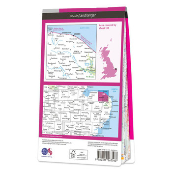
Map of North East Norfolk
Ordnance Survey
£12.99 - £16.99The Landranger map of North East Norfolk, including Cromer & Wroxham. Landranger maps are perfect for extensive hikes, cycling, and driving holidays. Ideal for planning days out or holidays to the North east of Norfolk, this map covers Cromer, Holt,...£12.99 - £16.99 -

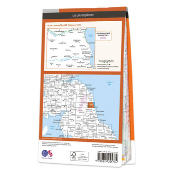
Map of Morpeth & Blyth
Ordnance Survey
£12.99 - £16.99Map of Morpeth & Blyth - OS Explorer Map 325 (Ashington & Longframlington)Standard Publication Date: 10/09/2020Weatherproof Publication Date: 28/10/2020£12.99 - £16.99 -
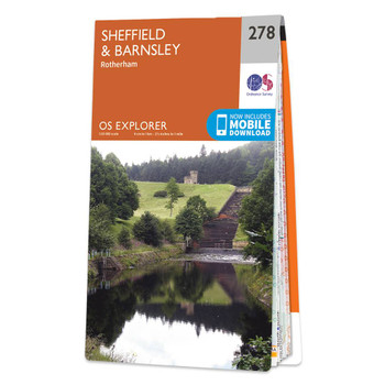

Map of Sheffield & Barnsley
Ordnance Survey
£12.99 - £16.99Map of Sheffield & Barnsley - OS Explorer Map 278 (Rotherham)Standard Publication Date: 16/09/2015Weatherproof Publication Date: 30/01/2020£12.99 - £16.99 -
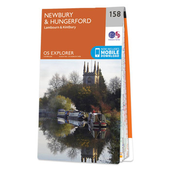
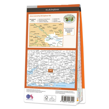
Map of Newbury & Hungerford
Ordnance Survey
£12.99 - £16.99Map of Newbury & Hungerford - OS Explorer Map 158 (Lambourn & Kintbury) Format: Folded map Physical Size: 1270 x 952 mm (133 x 240 mm folded) Standard Publication Date: 16/09/2015Weatherproof Publication Date: 16/09/2015£12.99 - £16.99 -
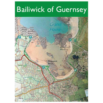

Map of The Bailiwick of Guernsey
Ordnance Survey
£8.50Bailiwick of Guernsey Format: Folded map Physical Size: Approx. 720mm x 560mm Publication Date: 1/1/2010£8.50 -
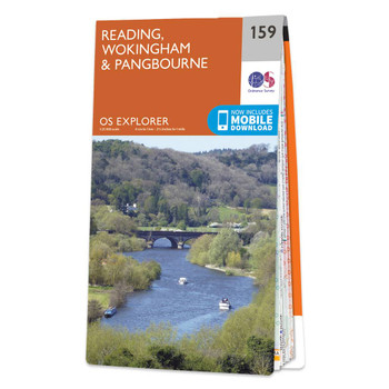

Map of Reading
Ordnance Survey
£12.99 - £16.99Map of Reading - OS Explorer Map 159 (Wokingham & Pangbourne) Format: Folded map Physical Size: 1270 x 952 mm (133 x 240 mm folded) Standard Publication Date: 16/09/2015 Weatherproof Publication Date: 16/09/2015£12.99 - £16.99 -
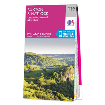

Map of Buxton & Matlock
Ordnance Survey
£12.99 - £16.99The Landranger map of Buxton & Matlock, including Chesterfield, Bakewell, and Dove Dale is a must-have for your next trip to the area. Landranger maps are perfect for extensive hikes, cycling, and driving holidays. Ideal for planning days out or...£12.99 - £16.99 -

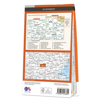
Map of Buckingham & Milton Keynes
Ordnance Survey
£12.99 - £16.99Map of Buckingham & Milton Keynes - OS Explorer Map 192 (Leighton Buzzard & Woburn) Format: Folded map Physical Size: 890 x 1000 mm (134 x 227 mm folded) Standard Publication Date: 16/09/2015Weatherproof Publication Date: 16/09/2015£12.99 - £16.99 -
On Sale
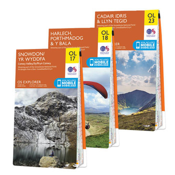

OS Explorer Snowdonia map set
Ordnance Survey
£31.18 - £40.78OS Explorer Maps OL17, OL18 & OL23 Snowdonia National Park in North Wales contains Snowdon, which at 1085 m (3560 ft.) is the tallest mountain in England and Wales. However, it is also the largest National Park, with the largest lake in Wales, Bala...£31.18 - £40.78 -


Map of Ashford
Ordnance Survey
£12.99 - £16.99Purchase the Ashford folded map: single-sided (boarded cover) from the OS Explorer Map rangeStandard Publication Date: 16/09/2015Weatherproof Publication Date: 16/09/2015£12.99 - £16.99 -

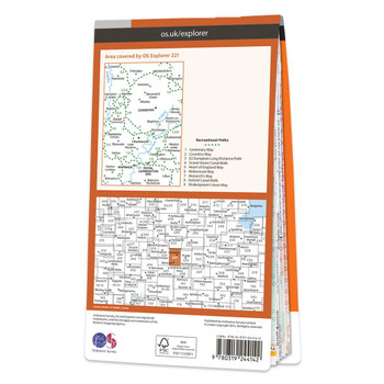
Map of Coventry & Warwick
Ordnance Survey
£12.99 - £16.99Map of Coventry & Warwick - OS Explorer Map 221 (Royal Leamington Spa & Kenilworth) Format: Folded map Physical Size: 952 x 1270 mm (133 x 240 mm folded) Standard Publication Date: 16/09/2015Waterproof Publication Date: 16/09/2015£12.99 - £16.99 -
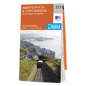
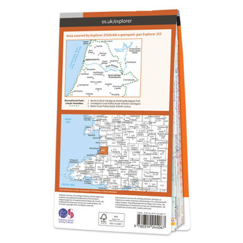
Map of Aberystwyth & Cwm Rheidol
Ordnance Survey
£12.99 - £16.99Purchase the Aberystwyth & Cwm Rheidol folded map: single-sided (boarded cover) from the OS Explorer Map range Format: Folded map Physical Size: 1270 x 952 mm (133 x 240 mm folded) Standard Publication Date: 16/09/2015Weatherproof Publication...£12.99 - £16.99 -

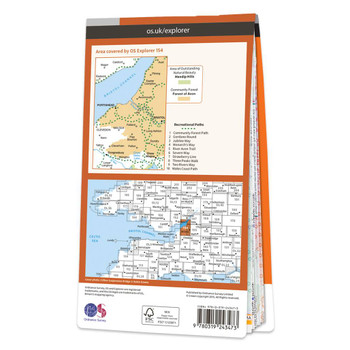
Map of Bristol West & Portishead
Ordnance Survey
£12.99 - £16.99Map of Bristol West & Portishead - OS Explorer Map 154 (Congresbury & Chew Magna)Standard Publication Date: 16/09/2015Weatherproof Publication Date: 16/09/2015£12.99 - £16.99 -
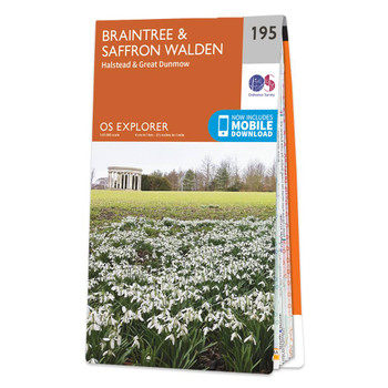
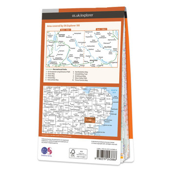
Map of Braintree & Saffron Walden
Ordnance Survey
£12.99 - £16.99Map of Braintree & Saffron Walden - OS Explorer Map 195 (Halstead & Great Dunmow) Format: Folded map Physical Size: 1000 x 890 mm (134 x 227 mm folded) Standard Publication Date: 16/09/2015Weatherproof Publication Date: 16/09/2015£12.99 - £16.99 -


Great British Film & TV Map
Marvellous Maps
£14.99Mise-en-scène is used in the film industry to refer to 'everything on screen'. Marvellous Maps Great British Film Map could be described as the Mise-en-scène of Great Britain. Packed with over 2,000 locations in Great Britain all connected to films and...£14.99 -
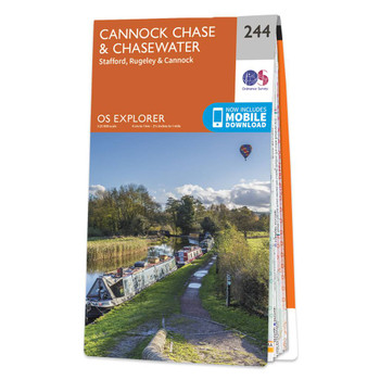

Map of Cannock Chase & Chasewater
Ordnance Survey
£12.99 - £16.99Map of Cannock Chase & Chasewater - OS Explorer Map 244 (Stafford, Rugeley & Cannock) Format: Folded map Physical Size: 952 x 1270 mm (133 x 240 mm folded) Standard Publication Date: 16/09/2015Weatherproof Publication Date: 16/09/2015£12.99 - £16.99 -
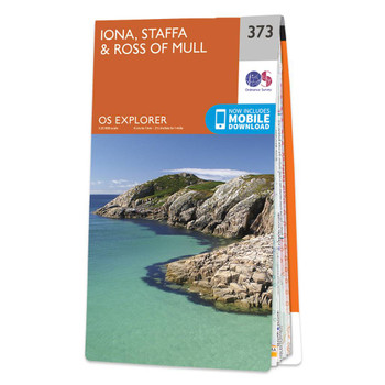
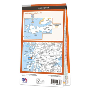
Map of Iona, Staffa & Ross of Mull
Ordnance Survey
£12.99 - £16.99Map of Iona, Staffa & Ross of Mull - OS Explorer Map 373 Format: Folded map Physical Size: 1270 x 952 mm (133 x 240 mm folded) Standard Publication Date: 16/09/2015Weatherproof Publication Date: 16/09/2015£12.99 - £16.99 -
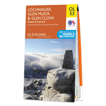
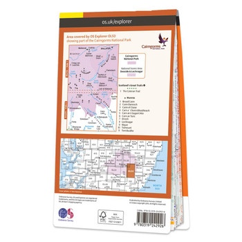
Map of Lochnagar, Glen Muick & Glen Clova
Ordnance Survey
£12.99 - £16.99OS Explorer Map OL53 covers Lochnagar, Glen Muick and Glen Clova, including Ballater, Balmoral, Loch Muick, Invergelder and Glenprosen village. It's 1:25 000 scale and shows footpaths and trails across this mountainous region. Publication Date: 21/01/2022£12.99 - £16.99 -


Map of Ben Nevis
Ordnance Survey
£12.99 - £16.99The Landranger map of Ben Nevis (including Fort William & Glen Coe) is a must-have for your next trip to the area.The area is famous for its challenging walks paid off by spectacular views. Explore Glen Coe, full of dramatic scenery due to the glen's...£12.99 - £16.99 -
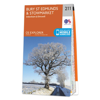
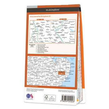
Map of Bury St Edmunds & Stowmarket
Ordnance Survey
£12.99 - £16.99Map of Bury St Edmunds & Stowmarket - OS Explorer Map 211 (Debenham & Elmswell) Format: Folded map Physical Size: 1000 x 890 mm (134 x 227 mm folded) Standard Publication Date: 16/09/2015Weatherproof Publication Date: 16/09/2015£12.99 - £16.99 -
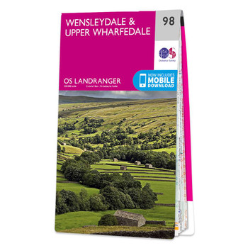

Map of Wensleydale & Upper Wharfedale
Ordnance Survey
£12.99 - £16.99The Landranger map of Wensleydale and Upper Wharfedale is a must-have for your next trip to the area. Landranger maps are perfect for extensive hikes, cycling, and driving holidays.Ideal for planning days out or holidays to the Yorkshire Dales,...£12.99 - £16.99