Ordnance Survey
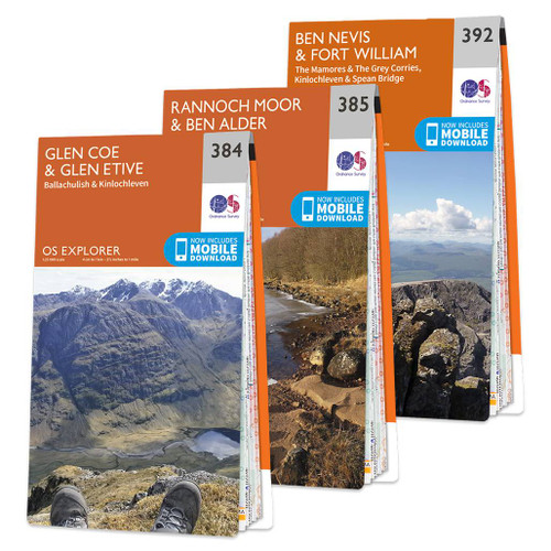
OS Map of Ben Nevis: Landranger 41
The OS Landranger map of Ben Nevis (including Fort William & Glen Coe) is a must-have for your next trip to the area.The area is famous for its challenging walks paid off by spectacular views. Explore Glen Coe, full of dramatic scenery due to the glen's volcanic origins.Some other major highlights are: Loch Treig, Glen Roy, Spean Bridge, and of course Ben Nevis itself.Ben Nevis is the highest peak in Britain at 1,345m, taking on average 7-9 hours to reach its summit.You can also ride the Nevis Mountain Range Gondola, the only of its kind in the Britain, reaching heights of 650m — allowing you to effortlessly enjoy the beautiful mountain range.Our Landranger maps come in weather proof options, and you'll also receive a free download for your devices; making for a convenient companion.
Publication Date: 08/03/2021
Weatherproof Publication Date: 08/03/2021

Free digital download
Receive a free download with purchase of this map. Find out more at Mobile Download FAQ.

Landranger 1:50 000 scale
Every 2cm is 1km, which means less detail but more area covered, while still including key elements such as footpaths, rights of way, and tourist information

Be ready for anything!
Whether it’s a long hike, a cycling tour, or a driving holiday – our Landranger maps are the perfect companion

Topographic mapping
Highly detailed contour mapping highlighting variations in terrain and everything you would expect from a map

Weatherproof options
Our Landranger maps come in both standard and weatherproof, so you don’t have to worry about getting caught out in a storm

Not sure which map you need?
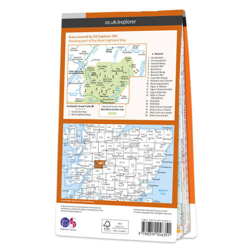
Discover which area this map covers with the map area overview below or read more about our different types of maps
Delivery times
Order before 3pm weekdays for:
- Free standard delivery in up to five working days
- 1st Class delivery in 1-2 working days
- Priority Express Next Day delivery on the next working day
Custom Made map orders will take one extra day for printing. Framed and canvas products are handmade and usually take 10-12 working days to dispatch. If you order on a bank holiday we'll start on your order on the next working day.
An estimated delivery date will be shown in checkout once you enter your address and pick a delivery option.
Sorry, we do not currently deliver outside of the UK.
See Full Delivery information here.
Reviews
What area is covered by the map?
Use the map below to see if areas are on this map or will be on another sheet. Click on any box to see the map for the area.
Sorry, this map is out of stock


