
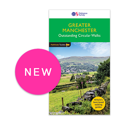
Escape the City.
Explore Greater Manchester
Shop now
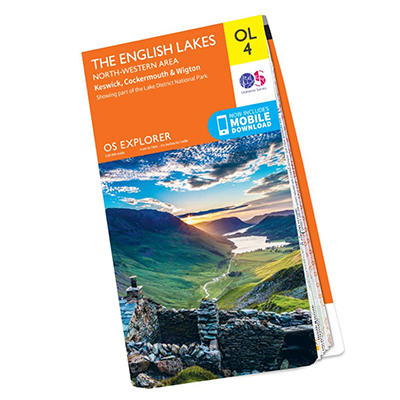
OS Explorer Maps
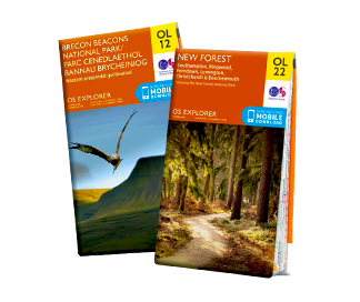
Our orange Explorers are the only maps of Great Britain to display footpaths, car parks, contour lines, campsites, pubs, and more.
Explore NowOS Landranger Maps
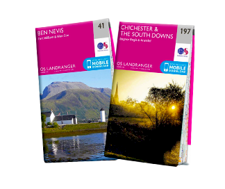
Our pink Landranger maps cover long distances, ideal for longer hikes, cycling tours, or driving holidays.
Explore NowOS Maps
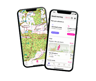
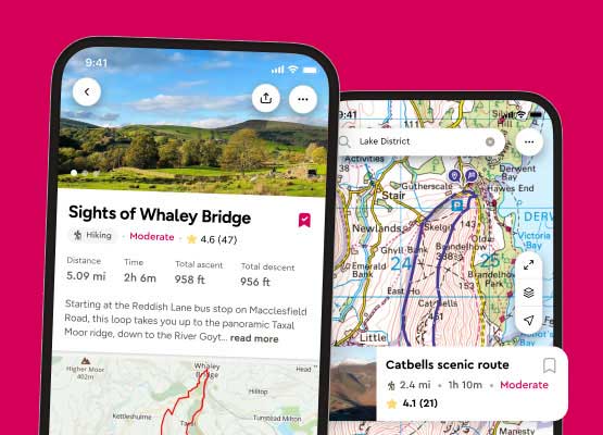
Need a trusted app to navigate your outdoor adventure? We provide online maps & routes for walking, cycling and running.
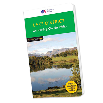
Learn MorePathfinder Guides
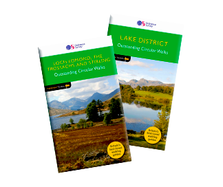
Want routes planned for you? Pathfinder guidebooks provide flexible walking options for every level.
Choose here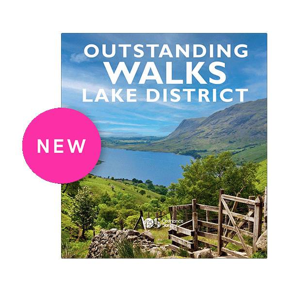
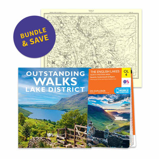
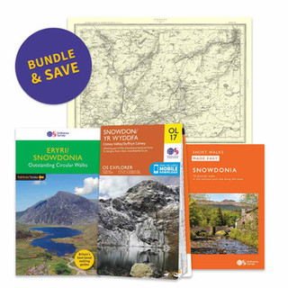
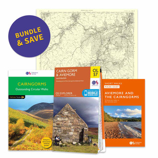
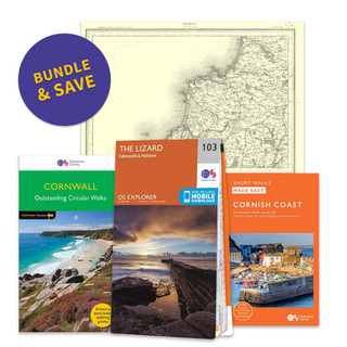
Bundle & Save
Your adventure, your way
New to OS Maps? Try OS Maps Premium for 14 days with a Free Trial
- Detailed maps for all UK
- Millions of routes to discover
- Download maps to use offline
OS Maps Subscription continues until cancelled. Account required.
Free delivery on all orders