Ordnance Survey
British Isles - communication wall map
Free delivery on all orders (more info)
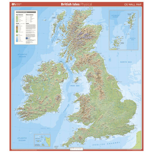
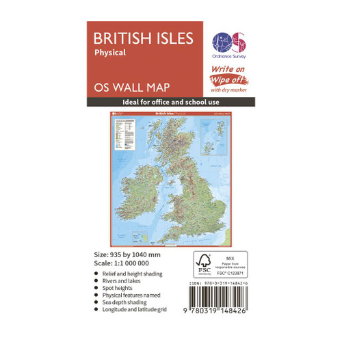
This map shows the British isles in 1:1 000 000 scale, with all the major road, rail and sea connections shown. It is supplied flat, rolled in a tube and has been gloss coated, so can be written on with suitable dry-wipe pens. They are ideal for schools, students or just for decoration.
It includes an index of place names plus a map legend

Write on, wipe off
Write, scribble, & doodle with a dry marker until your heart’s content. Our Wall Maps are perfect for plotting routes, marking where you’ve been, as well as a great educational tool

Varying Scales
Our Wall Maps are for display purposes only, scales may vary and may not be 100% accurate

Perfect for schools & offices
Perfect size & excellent detail, our wall maps are a great resource for offices and the classroom

Topographic mapping
Highly detailed contour mapping highlighting variations in terrain and everything you would expect from a map
Reviews
Delivery times
Order before 3pm weekdays for:
- Free standard delivery in up to five working days
- 1st Class delivery in 1-2 working days
- Priority Express Next Day delivery on the next working day
OS Historical 1896-1904 Maps, Relief Maps and Custom Made Map orders will take one extra day for printing. Framed and canvas products are handmade and usually take 10-12 working days to dispatch. If you order on a bank holiday we'll start on your order on the next working day. Standard delivery for OS Historical 1896 - 1904 Maps and Relief Maps are sent RM 48, and Next Day Delivery will be sent out Royal Mail 24.
An estimated delivery date will be shown in checkout once you enter your address and pick a delivery option.
Sorry, we do not currently deliver outside of the UK.
See Full Delivery information here.


