Ordnance Survey Ireland
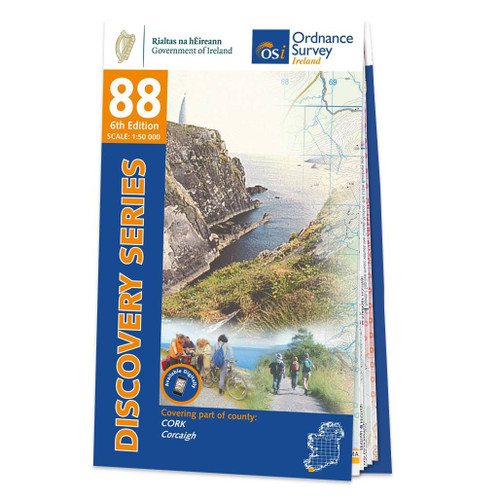
Map of County Cork: OSI Discovery 88
Free delivery on all orders (more info)
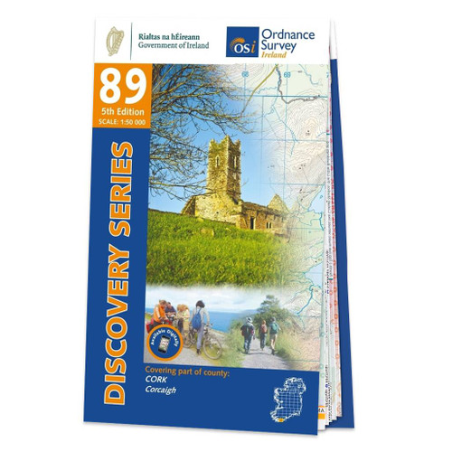
OSI Discovery Sheet No. 88 covers part of County Cork at a 1:50 000 scale and is designed for all sorts of leisure activities including walking, cycling and tourism.
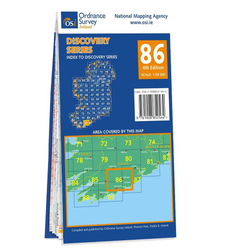
Features shown on the Discovery series include walking trails, cycle routes, forest parks and nature reserves. There is also tourist information such as campsites/caravan parks, youth hostels, tourist information offices, picnic places, standing stones, battlefields, golf courses and viewpoints. Available as a paper, folded map. Please see back cover image for the exact area covered.
Format: Folded map
Physical Size: 113 x 185 mm folded
Publication Date: 03/05/2022

Discoverer 1:50 000 scale
Every 2cm is 1km, to show key elements such as footpaths, minor roads, and tourist information

Be ready for anything!
Whether it’s a long hike, a cycling tour, or a driving holiday – Discoverer maps are the perfect companion

Topographic mapping
Highly detailed contour mapping highlighting variations in terrain and everything you would expect from a map
Reviews
Delivery times
Order before 3pm weekdays for:
- Free standard delivery in up to five working days
- 1st Class delivery in 1-2 working days
- Priority Express Next Day delivery on the next working day
OS Historical 1896-1904 Maps, Relief Maps and Custom Made Map orders will take one extra day for printing. Framed and canvas products are handmade and usually take 10-12 working days to dispatch. If you order on a bank holiday we'll start on your order on the next working day. Standard delivery for OS Historical 1896 - 1904 Maps and Relief Maps are sent RM 48, and Next Day Delivery will be sent out Royal Mail 24.
An estimated delivery date will be shown in checkout once you enter your address and pick a delivery option.
Sorry, we do not currently deliver outside of the UK.
See Full Delivery information here.


