Ordnance Survey
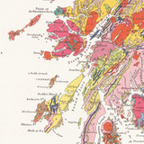
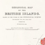
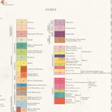
Geological Map of the British Islands 1939
Free delivery on all orders (more info)
Available to purchase for Black Friday week only!
Our vintage Geological Map of the British Islands is based on the work of the Geological Survey, engraved by Ordnance Survey, and first published in 1904.
This is an authentic reproduction of the 3rd edition that was first published in 1939. Originally printed on sheets 92 x 68 cm. Ordnance Survey have enhanced image of the original map from the National Library of Scotland for republication.
Scale of Twenty Five Statute Miles to One Inch.
Also available as a flat wall map here.
Learn more about British Geology here.
Reviews
Delivery times
For last order dates to guarantee your order in time for Christmas, please see delivery information here.
Order before 3pm weekdays for:
- Free standard delivery in up to five working days
- 1st Class delivery in 1-2 working days
- Priority Express Next Day delivery on the next working day
OS Historical 1896-1904 Maps and Custom Made map orders will take one extra day for printing. Framed and canvas products are handmade and usually take 10-12 working days to dispatch. If you order on a bank holiday we'll start on your order on the next working day.
An estimated delivery date will be shown in checkout once you enter your address and pick a delivery option.
Sorry, we do not currently deliver outside of the UK.
See Full Delivery information here.


