Ordnance Survey
OS Map of Malvern Hills & Bredon Hill: Explorer 190
The OS Explorer map of Malvern Hills and Bredon Hill, including Tewkesbury, Ledbury, Pershore, and Upton upon Severn, is a must-have for your next trip to the area.OS Explorer 190 covers two Areas of Outstanding Natural Beauty; The Cotswolds, and the Malvern Hills & the settlements of Great Malvern. The Malvern hills are a range of hills in Worcestershire & Herefordshire, and a small area of Northern Gloucestershire. The highest summit provides a stunning panorama of the Severn Valley. Our OS Explorer maps are perfect for day-tripping, extensive hikes, and cycling. They come in both standard and Weatherproof Active, so you'll never get caught out in a storm. This map also comes with a free digital download, so you can access it across your devices — making for a more convenient companion.
Standard Publication Date: 02/11/2023
Weatherproof Publication Date: 02/11/2023

Free digital download
Receive a free download with purchase of this map. Find out more at Mobile Download FAQ.

Explorer 1:25,000 Scale
Every 4cm on the map is 1km, making our leisure selection the most detailed maps; perfect for activities such as walking, running, and cycling

Be ready for anything
Find marked public rights of way, byways, trails, cycle routes, bridleways, road networks, & railway lines

Not sure which map you need?
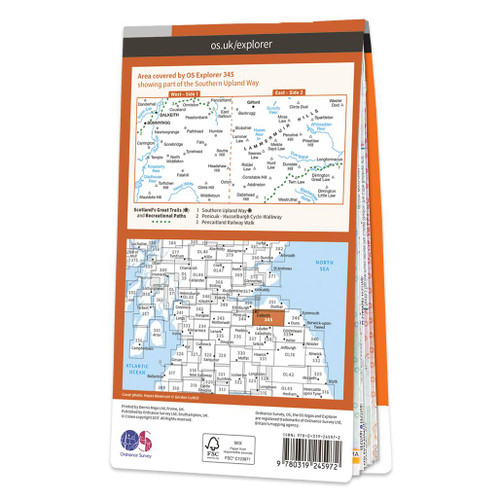
Discover which area this map covers with the map area overview below or read more about our different types of maps

Topographic mapping
Highly detailed contour mapping highlighting variations in terrain and everything you would expect from a map

Explore local landmarks
Discover camping sites, picnic spots, tourist information, car parks, historical sites, pubs, & much more
Delivery times
Order before 3pm weekdays for:
- Free standard delivery in up to five working days
- 1st Class delivery in 1-2 working days
- Priority Express Next Day delivery on the next working day
Custom Made map orders will take one extra day for printing. Framed and canvas products are handmade and usually take 10-12 working days to dispatch. If you order on a bank holiday we'll start on your order on the next working day.
An estimated delivery date will be shown in checkout once you enter your address and pick a delivery option.
Sorry, we do not currently deliver outside of the UK.
See Full Delivery information here.
Reviews
What area is covered by the map?
Use the map below to see if areas are on this map or will be on another sheet. Click on any box to see the map for the area.
Sorry, this map is out of stock


