-
Sale
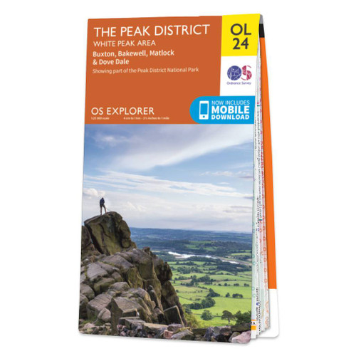
 OS Map of The Peak District - White Peak Area: Explorer OL24
Ordnance Survey
MSRP: £12.99 - £16.99£9.74 - £12.74 -
Sale

 OS Map of The Peak District - Dark Peak Area: Explorer OL1
Ordnance Survey
MSRP: £12.99 - £16.99£9.74 - £12.74 -
Sale

 OS Map of The Lake District: South-eastern area: Explorer OL7
Ordnance Survey
MSRP: £12.99 - £16.99£9.74 - £12.74 -
Sale


-
Sale

 OS Map of Yorkshire Dales - Southern & Western Area: Explorer OL2
Ordnance Survey
MSRP: £12.99 - £16.99£9.74 - £12.74 -
Sale
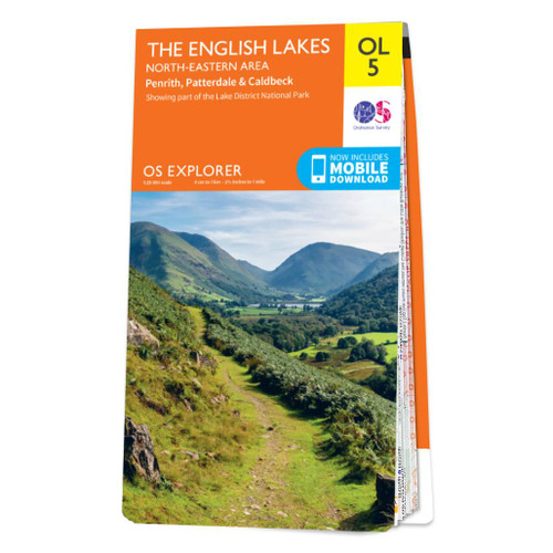
 OS Map of The Lake District: North-eastern area: Explorer OL5
Ordnance Survey
MSRP: £12.99 - £16.99£9.74 - £12.74 -
Sale

 OS Map of The Lake District: South-western area: Explorer OL6
Ordnance Survey
MSRP: £12.99 - £16.99£9.74 - £12.74 -
Sale

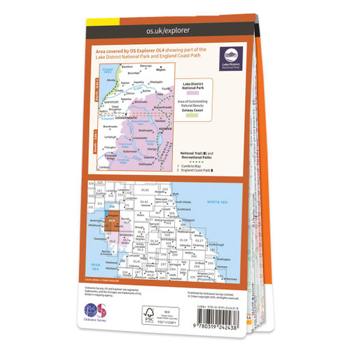 OS Map of The Lake District: North-western area: Explorer OL4
Ordnance Survey
MSRP: £12.99 - £16.99£9.74 - £12.74 -
Sale


-
Sale


-
Sale

 OS Map of Yorkshire Dales - Northern & Central Area: Explorer OL30
Ordnance Survey
MSRP: £12.99 - £16.99£9.74 - £12.74 -
Sale

 OS Map of Purbeck and South Dorset: Explorer OL15
Ordnance Survey
MSRP: £12.99 - £16.99£9.74 - £12.74 -
Sale

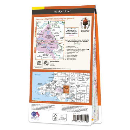 OS Map of Parc Cenedlaethol Bannau Brycheiniog (Brecon Beacons National Park) - Eastern Area: Explorer OL13
Ordnance Survey
MSRP: £12.99 - £16.99£9.74 - £12.74 -
Sale


-
Sale


-
Sale

 OS Map of Parc Cenedlaethol Bannau Brycheiniog (Brecon Beacons National Park) - Western Area: Explorer OL12
Ordnance Survey
MSRP: £12.99 - £16.99£9.74 - £12.74 -
Sale

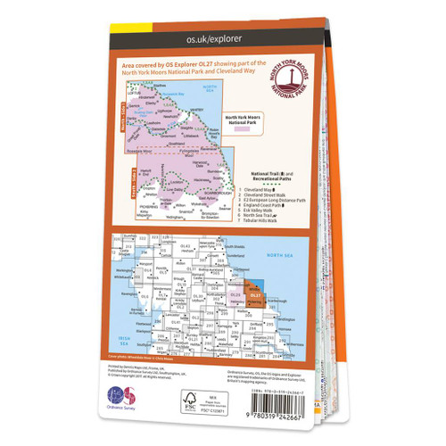 OS Map of North York Moors - Eastern area: Explorer OL27
Ordnance Survey
MSRP: £12.99 - £16.99£9.74 - £12.74 -
Sale

 OS Map of Wye Valley & Forest of Dean: Explorer OL14
Ordnance Survey
MSRP: £12.99 - £16.99£9.74 - £12.74 -
Sale


-
Sale

 OS Map of Cadair Idris & Bala Lake: Explorer OL23
Ordnance Survey
MSRP: £12.99 - £16.99£9.74 - £12.74 -
Sale


-
Sale
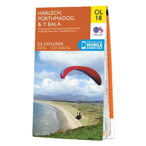
 OS Map of Harlech, Porthmadog & Y Bala: Explorer OL18
Ordnance Survey
MSRP: £12.99 - £16.99£9.74 - £12.74 -
Sale

-
Sale


OS Explorer Maps
The essential map range for those who like to explore and discover. Our famous orange Explorers are the only maps of Great Britain to display footpaths, car parks, contour lines, campsites, pubs, and more. Always know your location whether walking, running, cycling, or horse riding – every map comes with a free digital download for your devices to use while out. | Search by map number or location using our map sheet finder

