Pathfinder
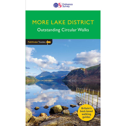
Lake District Walking Guidebook - OS Pathfinder Guides
160 miles of walking amid the majestic fells and the finest meres, tarns, and waters of Lakeland . . .
Discover 28 outstanding circular walks in the Lake District National Park, graded by length and ranging from 3 to 10 miles with easy-to-follow route descriptions.The Lake District Path Finder Guide is the ideal companion to gaining an appreciation of England's most mountainous region, containing a balanced range of walks across the whole of the National Park. Easy-to-follow route descriptions, clear Ordnance Survey route maps, and GPS waypoints have never made exploring the Lake District easier. Also included are places to park, good pubs, places of interest - all en route.The book contains a total of 160 miles of walking, there are clusters of walks around the popular centres at Ambleside, Coniston, and Keswick. This is one of a serious of books with great walking routes covering the most popular and scenic areas of Britain.
Publication date:2019
Walks in this book:
- Devoke Water
- Sweden Bridges
- Loughrigg Tarn and the Brathay
- Cat Bells
- Buttermere
- Dalemain and Dacre
- Ravenglass and Muncaster
- Little Mell Fell
- Loweswater
- Glenridding and Lanty's Tarn
- Seathwaite Tarn
- Branstree and Selside Pike
- Hay Stacks
- Sheffield Pike and Glenridding Dodd
- Beda Fell
- Coniston Old Man
- Wray Castle and Blelham Tarn
- Blencathra: Hall's Fell Ridge and Doddick Fell
- Rough Crag and High Street
- Bannerdale Crags and Southern Fell
- Wetherlam
- Torver Commons and Walna Scar
- Rosthwaite and Stonethwaite
- Troutbeck Valley
- Hawswater shore path
- Langdale valleys
- Black Combe
- Bowfell

All-inclusive
Whether you’re looking for a long stroll or an exhilarating hike, there is something for everyone

Tried and True
All routes are tried and tested by seasoned walkers

Discover more
The best way to discover what an area has to offer. All walks are rated for difficulty

Durable & Weatherproof
Never get caught out in a storm with our durable and weatherproof Pathfinder guidebooks
Delivery times
Order before 3pm weekdays for:
- Free standard delivery in up to five working days
- 1st Class delivery in 1-2 working days
- Priority Express Next Day delivery on the next working day
Custom Made map orders will take one extra day for printing. Framed and canvas products are handmade and usually take 10-12 working days to dispatch. If you order on a bank holiday we'll start on your order on the next working day.
An estimated delivery date will be shown in checkout once you enter your address and pick a delivery option.
Sorry, we do not currently deliver outside of the UK.
See Full Delivery information here.


