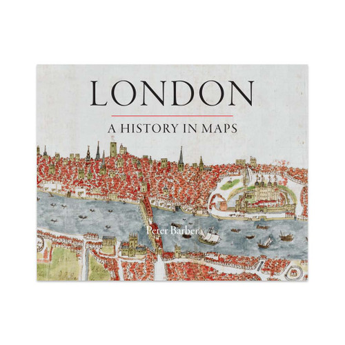
London: A History in Maps
Over the past 2000 years London has developed from a small town, fitting snugly within its walls, into one of the world's largest and most dynamic cities. This book illustrates and helps to explain the transformation. Side-by-side with the great, semi-official but sanitised images of the whole city, there are the more utilitarian maps and plans of the parts - actual and envisaged - which perhaps present a more truthful picture. But the maps and panoramas are far more than topographical records. They all have something unique to say about them concerns, assumptions, ambitions and prejudices of Londoners at the time when they were created. The book reveals the 'inside story' behind one of the world's greatest cities.
Delivery times
Order before 4pm weekdays for:
- Free standard delivery on orders over £10 in up to five working days
- 1st Class delivery in 1-2 working days
- Priority Express Next Day delivery on the next working day
Custom Made map orders will take one extra day for printing. Framed and canvas products are handmade and usually take 10-12 working days to dispatch. If you order on a bank holiday we'll start on your order on the next working day.
An estimated delivery date will be shown in checkout once you enter your address and pick a delivery option.
Sorry, we do not currently deliver outside of the UK.
See Full Delivery information here.


