Ordnance Survey
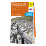
OS Map of Yorkshire Dales - Southern & Western Area: Explorer OL2
Free delivery on all orders (more info)
The OS Explorer map of Yorkshire Dales, Southern & Western area includes Whernside, Ingleborough, & Pen-y-ghent is the perfect walking map or long-distance trail map.
With Explorer OL2 you can take on the Yorkshire Three Peaks circular route. The total walking distance is 24.5 miles (39.2km), starting at Horton-in-Ribblesdales, Ribblehead or Chapel le Dale, with the circular route finishing at the point you begin.
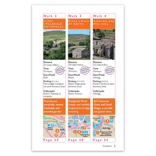
Whether you're looking to take on the three peaks or just looking for an easier walk through the South-West of the dales, this walking map is a must-have.
Our OS Explorer maps are perfect for day-tripping, extensive hikes, and cycling. They come in both standard and Weatherproof Active, so you'll never get caught out in a storm.
Standard Publication Date: 04/08/2025
Weatherproof Publication Date: 02/06/2025

Free digital download
Receive a free download with purchase of this map. Find out more at Mobile Download FAQ.

Explorer 1:25,000 Scale
Every 4cm on the map is 1km, making our leisure selection the most detailed maps; perfect for activities such as walking, running, and cycling

Be ready for anything
Find marked public rights of way, byways, trails, cycle routes, bridleways, road networks, & railway lines

Not sure which map you need?
Discover which area this map covers with the map area overview below or read more about our different types of maps

Topographic mapping
Highly detailed contour mapping highlighting variations in terrain and everything you would expect from a map

Explore local landmarks
Discover camping sites, picnic spots, tourist information, car parks, historical sites, pubs, & much more
Reviews
Delivery times
For last order dates to guarantee your order in time for Christmas, please see delivery information here.
Order before 3pm weekdays for:
- Free standard delivery in up to five working days
- 1st Class delivery in 1-2 working days
- Priority Express Next Day delivery on the next working day
OS Historical 1896-1904 Maps, Relief Maps and Custom Made Map orders will take one extra day for printing. Framed and canvas products are handmade and usually take 10-12 working days to dispatch. If you order on a bank holiday we'll start on your order on the next working day. Standard delivery for OS Historical 1896 - 1904 Maps and Relief Maps are sent RM 48, and Next Day Delivery will be sent out Royal Mail 24.
An estimated delivery date will be shown in checkout once you enter your address and pick a delivery option.
Sorry, we do not currently deliver outside of the UK.
See Full Delivery information here.


