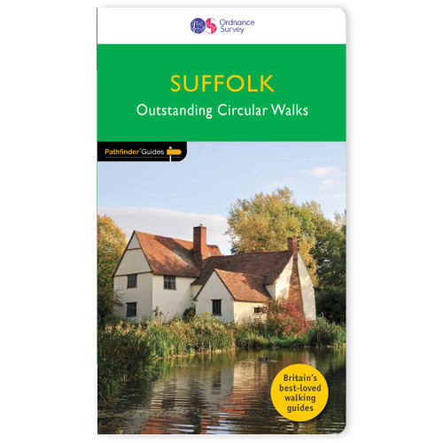
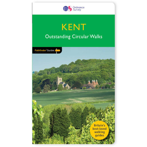
Pathfinder
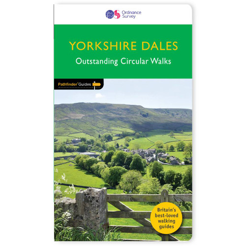
Yorkshire Dales Walking Guidebook - OS Pathfinder Guides
185 miles of infinite walking enjoyment and beauty across the Yorkshire Dales National Park . . .
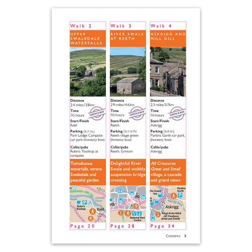
Immerse yourself in 28 beautiful walks across Yorkshire Dales with the OS Pathfinder Guidebooks, graded by length and ranging from 4 to 11 miles. The routes range from extended strolls to longer hikes, something for all levels! Each walk includes a detailed description, an OS map, GPS waypoints and notes of key features and things to seeRoutes include Hardraw Force, the highest waterfall in the Dales, the limestone moorland of Grassington and the River Wharfe, and part of the Coast-to-Coast path.This is one of a series of books with great walking routes covering the most popular and scenic areas of Britain.
Publication date:2019
Walks in this book:
- Richmond and Easby
- Haws and Hardraw Force
- Ingleton Waterfalls
- How Stean Gorge and Upper Nidderdale
- Grassington and the River Wharfe
- A taste of Barbondale
- West Burton
- Reeth, Arkengarthdale and Grinton
- Aysgarth Falls and Bolton Castle
- Dentdale
- Cam Head
- Kettlewell and Arncliffe
- Burnsall and Linton
- Ribblehead and Chapel-le-Dale
- Burnsall, Trollers Gill, and Appletreewick
- Clapham, Crummack Dale, and Austwic
- Around Malham
- Buckden and Langstrothdale Chase
- Pen-y-ghent
- Crosby Ravensworth Fell
- Bolton Abbey, Barden Tower, and the Strid
- Giggleswick Scar and Stainforth Force
- Semer Water
- Pateley Bridge and Brimham Rocks
- Ingleborough from Ingleton
- Nine Standards Rigg
- Ingleborough from Clapham
- Gunnerside, Kisdon, and Muker

All-inclusive
Whether you’re looking for a long stroll or an exhilarating hike, there is something for everyone

Tried and True
All routes are tried and tested by seasoned walkers

Discover more
The best way to discover what an area has to offer. All walks are rated for difficulty

Durable & Weatherproof
Never get caught out in a storm with our durable and weatherproof Pathfinder guidebooks
Delivery times
Order before 3pm weekdays for:
- Free standard delivery in up to five working days
- 1st Class delivery in 1-2 working days
- Priority Express Next Day delivery on the next working day
Custom Made map orders will take one extra day for printing. Framed and canvas products are handmade and usually take 10-12 working days to dispatch. If you order on a bank holiday we'll start on your order on the next working day.
An estimated delivery date will be shown in checkout once you enter your address and pick a delivery option.
Sorry, we do not currently deliver outside of the UK.
See Full Delivery information here.


