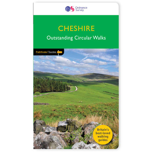
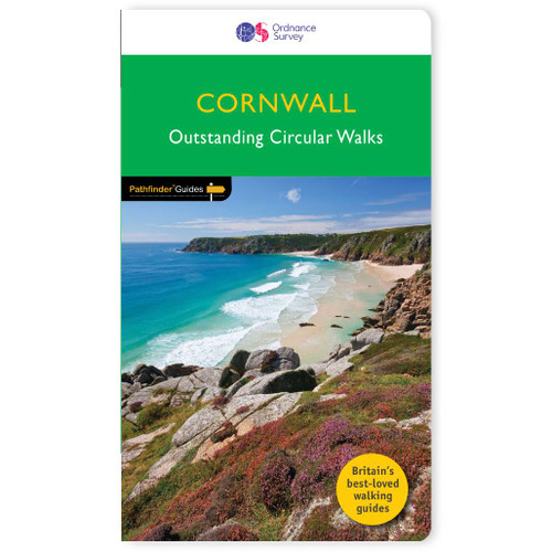
Pathfinder
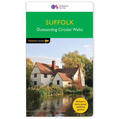
Suffolk Walking Guidebook - OS Pathfinder Guides
170 miles of delightful walking in England's eastern-most county . . .
Explore 28 beautiful walks across Suffolk with the OS Pathfinder Guidebooks, graded by length and ranging from under 3 to 10 miles. Walks include Suffolk's riverside meadows of the Stour. There is a choice of coastal walks, including routes through Southwold, Shingle Street, Dingle Marshes, Thorpeness, and the Shotley Peninsula.The routes range from extended strolls to longer hikes, meaning something for all levels! Each walk includes a detailed description, an OS map, GPS waypoints and notes of key features and things to see.This is one of a series of books with great walking routes covering the most popular and scenic areas of Britain. Printed with weather-resistant covers featuring durable rounded corners, they are the perfect companion for country walking throughout Britain.
Publication Date: 2018
Walks in this book:
- Carlton Marshes and the River Waveney
- Southwold
- Darmsden and the Gipping Valley
- Nowton Park and High Suffolk
- Stoke-by-Nayland to Polstead
- Shingle Street and Alderton
- Pakenham Mills from Ixworth
- Covehithe and Benacre
- Cretingham and Brandeston
- Forest and riverside from West Stow
- Eye and Braiseworth
- Framlingham and its countryside
- Constable country: Flatford and East Berholt
- Long Melford
- Sometleyton and Waddling Lane
- West Row and Worlington from Mildenhall
- Orford Coast and country
- Thorpeness from leiston
- Saxmundham, Kelsale, and the Gull Stream
- Lavenham and Bren Eleigh
- Sudbury and its water meadows
- Clare and Cavendish
- Iken and Tunstall Forest
- Barham, Baylham, and Coddenham
- Kersey and Hadleigh
- Thorpe Morieux to Preston St Mary
- Denham Castle and the three churches
- Sutton Hoo, Shottisham, and the River Deben

All-inclusive
Whether you’re looking for a long stroll or an exhilarating hike, there is something for everyone

Tried and True
All routes are tried and tested by seasoned walkers

Discover more
The best way to discover what an area has to offer. All walks are rated for difficulty

Durable & Weatherproof
Never get caught out in a storm with our durable and weatherproof Pathfinder guidebooks
Delivery times
Order before 3pm weekdays for:
- Free standard delivery in up to five working days
- 1st Class delivery in 1-2 working days
- Priority Express Next Day delivery on the next working day
Custom Made map orders will take one extra day for printing. Framed and canvas products are handmade and usually take 10-12 working days to dispatch. If you order on a bank holiday we'll start on your order on the next working day.
An estimated delivery date will be shown in checkout once you enter your address and pick a delivery option.
Sorry, we do not currently deliver outside of the UK.
See Full Delivery information here.


