Flat, Wall & Framed Maps

Flat maps are useful for plotting longer routes, for display or decoration. Whether a wall chart, poster or rolled, we've got a collection of flat maps for Britain, the UK and beyond.
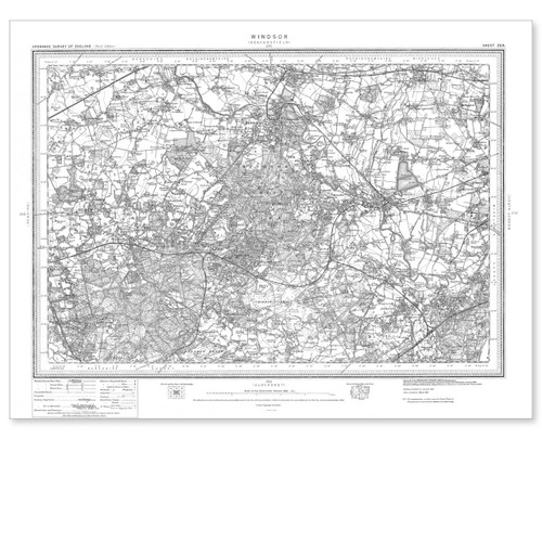
  • Black and white reproduction historical map of Windsor and wider area
    Windsor 1896-1904

    Ordnance Survey

    £8.99
  • Black and white reproduction historical map of Sevenoaks and wider area
    Sevenoaks 1896-1904

    Ordnance Survey

    £8.99
  • Full view of the Lake District National Park Map by The Future Mapping Company
    Poster framed  Lake District National Park Map by The Future Mapping Company
    Lake District National Park Map

    The Future Mapping Company

    £35.00
  • Black and white reproduction historical map of Buckingham and wider area
    Buckingham 1896-1904

    Ordnance Survey

    £8.99
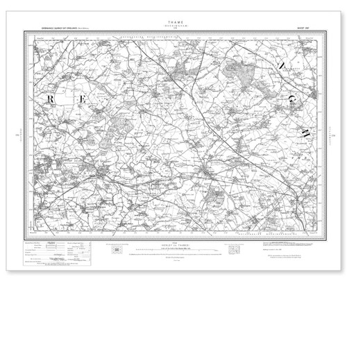
  • Black and white reproduction historical map of Thame and wider area
    Thame 1896-1904

    Ordnance Survey

    £8.99
  • Black and white reproduction historical map of Stockton-on-Tees and wider area
    Stockton-on-Tees 1896-1904

    Ordnance Survey

    £8.99
  • Black and white reproduction historical map of Maidstone and wider area
    Maidstone 1896-1904

    Ordnance Survey

    £8.99
  • Black and white reproduction historical map of Penzance and wider area
    Penzance 1896-1904

    Ordnance Survey

    £8.99
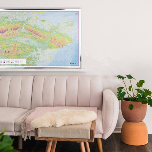
  • Full view of the Kent County Map by The Future Mapping Company
    Poster framed Kent County Map by The Future Mapping Company above a sofa
    Kent County Map

    The Future Mapping Company

    £35.00
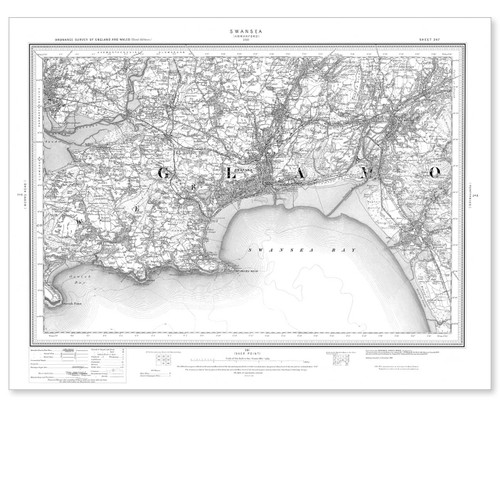
  • Black and white reproduction historical map of Swansea and wider area
    Swansea 1896-1904

    Ordnance Survey

    £8.99
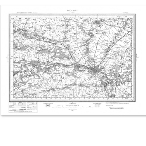
  • Black and white reproduction historical map of Salisbury and wider area
    Salisbury 1896-1904

    Ordnance Survey

    £8.99
  • Black and white reproduction historical map of Portsmouth and wider area
    Portsmouth 1896-1904

    Ordnance Survey

    £8.99
  • Black and white reproduction historical map of Great Dunmow and wider area
    Great Dunmow 1896-1904

    Ordnance Survey

    £8.99
  • Black and white reproduction historical map of Stoke-on-Trent and wider area
    Stoke-upon-Trent 1896-1904

    Ordnance Survey

    £8.99
  • Black and white reproduction historical map of Bath and wider area
    Bath 1896-1904

    Ordnance Survey

    £8.99
  • Black and white reproduction historical map of Redditch and wider area
    Redditch 1896-1904

    Ordnance Survey

    £8.99
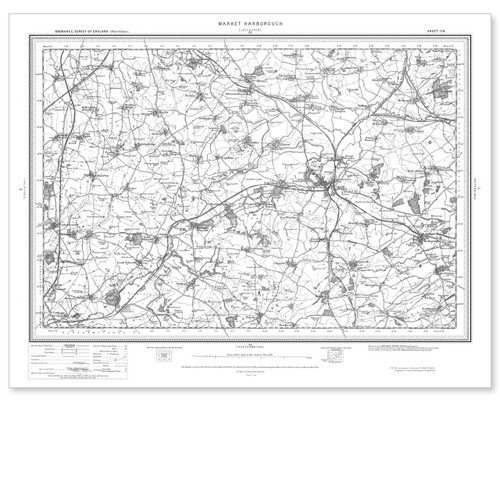
  • Black and white reproduction historical map of Market Harborough and wider area
    Market Harborough 1896-1904

    Ordnance Survey

    £8.99
  • Black and white reproduction historical map of Wells and wider area
    Wells 1896-1904

    Ordnance Survey

    £8.99
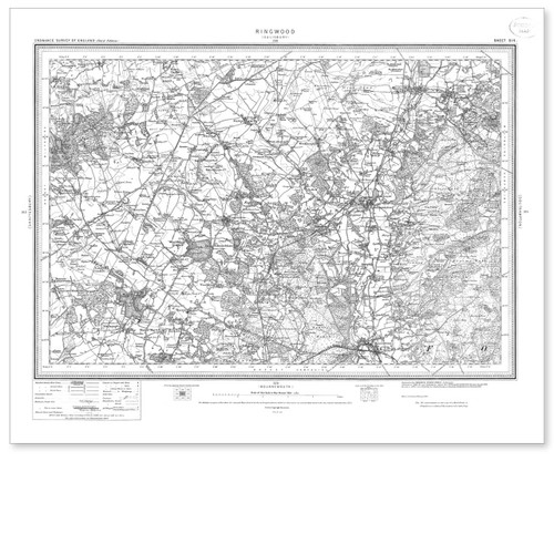
  • Black and white reproduction historical map of Ringwood and wider area
    Ringwood 1896-1904

    Ordnance Survey

    £8.99
  • Black and white reproduction historical map of Marlborough and wider area
    Marlborough 1896-1904

    Ordnance Survey

    £8.99
  • Black and white reproduction historical map of Harrogate and wider area
    Harrogate 1896-1904

    Ordnance Survey

    £8.99
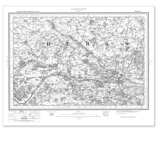
  • Black and white reproduction historical map of Hungerford and wider area
    Hungerford 1896-1904

    Ordnance Survey

    £8.99
  • Black and white reproduction historical map of Cirencester and wider area
    Cirencester 1896-1904

    Ordnance Survey

    £8.99
  • Black and white reproduction historical map of Devizes and wider area
    Devizes 1896-1904

    Ordnance Survey

    £8.99