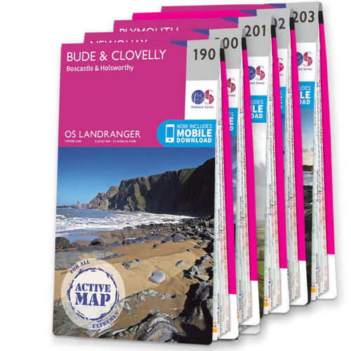
OS Explorer Cornwall map set - standard version
This OS Map bundle contains the OS Explorer maps covering Cornwall, from the spectacular rugged coastline and beaches to the more tranquil southern coast and some of the most beautiful and unique moorland and woodland scenery.
Includes map sheet numbers 109, 111, 102, 105, 104, 103, 107 and 106 in the OS Explorer map series.
Cornwall is famous for its coastline, dramatic landscapes, miles of sandy beaches, and a rich cultural and industrial heritage. Experience the crashing surf of Atlantic rollers, wild and remote moorlands such as Bodmin Moor, fishing harbours, pretty villages, bustling towns and peaceful woodlands. Highlights of the area include: Bodmin, Tintagel, Penzance, Land's End, Mevagissey, Falmouth, Newquay, Padstow, Perranporth, The South West Coast Path, Porthleven, St Austell Bay, St Ives, St Austell and the county capital of Truro.
There are 12 separate Areas of Outstanding Natural Beauty in the county, as well as 10 World Heritage Sites and the ground-breaking Eden Project.
Cornwall has the longest stretch of coastline of any county in the UK, with over 400 miles of cliffs, beaches, coves, and estuaries. Walk some of the South West Coast Path, Cornish Way, Camel Trail or Smuggler's Way. Visit the most southerly point in Britain, Lizard Point including the mighty Devil's Cauldron, or to Land's End itself, or drop into the town of Newquay where nearby there's some stunning scenery such as the volcanic stacks at Bedruthan Steps and Watergate Beach.
There's no shortage of historic sites and attractions marked on OS Explorer maps, some notable sites in Cornwall include the mystical Tintagel Castle, iconic St. Michael's Mount at Marazion, Pendennis and Mawes castles, the Minack Theatre and Lanhydrock House. There are so many wonderful places to visit in Cornwall it's hard to know where to start, but having this OS Explorer map set with you will make sure you don't miss any of the natural and man-made treasures of the area, and have many happy days out, outdoor activities and holidays to remember.
Save 20% - buy them all together. Now includes a digital download for each map.
OS Compass, OS Mirror Compass or OS Waterproof Map Case if bought with an Explorer or Landranger map!
Discount automatically applied at checkout.
T&Cs apply
Multi-buy discounts
Use code: MOREMAPS at checkout
Get 10% off when buying two or more OS paper maps. Discounts increase when buying 16, 31 and 61 or more. Excludes maps on sale.
FSC Certified

100% recyclable

Sustainable packaging

Free digital download
Receive a free download with purchase of this map. Find out more at Mobile Download FAQ.

Explorer 1:25,000 Scale
Every 4cm on the map is 1km, making our leisure selection the most detailed maps; perfect for activities such as walking, running, and cycling

Be ready for anything
Find marked public rights of way, byways, trails, cycle routes, bridleways, road networks, & railway lines

Not sure which map you need?
Discover which area this map covers with the map area overview below or read more about our different types of maps

Topographic mapping
Highly detailed contour mapping highlighting variations in terrain and everything you would expect from a map

Explore local landmarks
Discover camping sites, picnic spots, tourist information, car parks, historical sites, pubs, & much more
Delivery times
Order before 4pm weekdays for:
- Free standard delivery on orders over £10 in up to five working days
- 1st Class delivery in 1-2 working days
- Priority Express Next Day delivery on the next working day
Custom Made map orders will take one extra day for printing. Framed and canvas products are handmade and usually take 10-12 working days to dispatch. If you order on a bank holiday we'll start on your order on the next working day.
An estimated delivery date will be shown in checkout once you enter your address and pick a delivery option.
Sorry, we do not currently deliver outside of the UK.
See Full Delivery information here.
What area is covered by the map?
Use the map below to see if areas are on this map or will be on another sheet. Click on any box to see the map for the area.
Sorry, this map is out of stock


