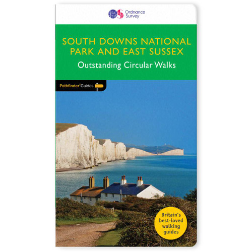
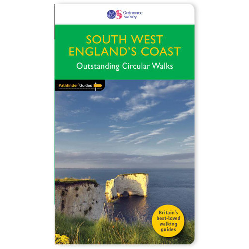
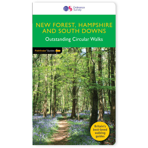
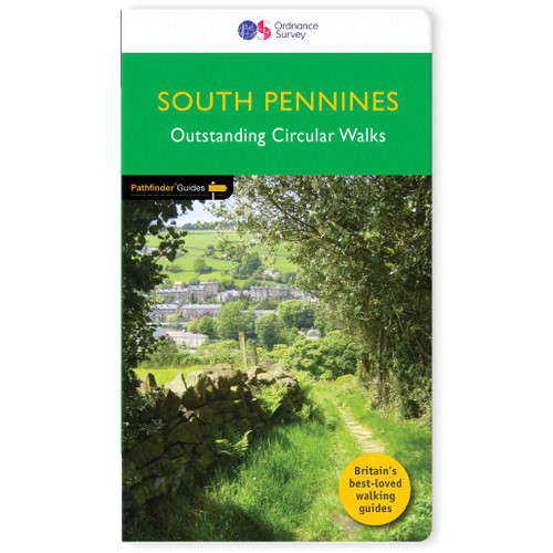
Pathfinder
West Sussex & South Downs Walking Guidebook - OS Pathfinder Guides
180 miles of absorbing walking through the heathland, wooded vales, and pretty . . .
Dive into 28 beautiful walks across West Sussex & South Downs with the OS Pathfinder Guidebooks, graded by length and ranging from 3 ½ to 11 miles.There are 180 miles of awe-inspiring walks through heathland, wooded vales, and pretty villages. From the Low Weald from Durford Heath to Ardingly, and through the South Downs National Park, including the 'glorious' Goodwood and the prehistoric hill forts at Cissbury and Chanctonbury Rings. The routes range from extended strolls to longer hikes, offering something for all levels! Each walk includes a detailed description, an OS map, GPS waypoints, and notes of key features and things to see.This is one of a series of books with great walking routes covering the most popular and scenic areas of Britain.
Publication Date: 2017
Walks in this book:
- Durford Heath and Rogate Common
- Kingley Vale
- Pulborough Brooks
- Climping Beach and the River Arun
- Three Commons Walk
- St Leonard's Forest
- Devils' Dyke
- Loxwood and the Wey South Path
- Horsted Keynes and the Bluebell Railway
- Ardingly Reservoir
- The Chidham Peninsula
- Cuckfield and Ansty
- Wolstonbury from Hustpierpoint
- The Wey and Arun Canal from Billingshurt
- Midhurst and Cowdray Park
- Belloc's Mill
- Selsey and Pagham Harbour
- Arundel Park and South Stoke
- The Temple of the Winds from Fernhurst
- Wolldbeding Common and Hammer Wood
- Amberley and Parham House
- South Harting to the Downs
- West Hoathly and Weird Wood Reservoir
- Bosham and Fishbourne from West Itchenor
- Goodwood and the West Sussex Literary Trail
- Bramber, Beeding, and the Downs Link
- Cissbury and Chanctonbury Rings
- Bignor Hill and the River Arun

All-inclusive
Whether you’re looking for a long stroll or an exhilarating hike, there is something for everyone

Tried and True
All routes are tried and tested by seasoned walkers

Discover more
The best way to discover what an area has to offer. All walks are rated for difficulty

Durable & Weatherproof
Never get caught out in a storm with our durable and weatherproof Pathfinder guidebooks
Delivery times
Order before 3pm weekdays for:
- Free standard delivery in up to five working days
- 1st Class delivery in 1-2 working days
- Priority Express Next Day delivery on the next working day
Custom Made map orders will take one extra day for printing. Framed and canvas products are handmade and usually take 10-12 working days to dispatch. If you order on a bank holiday we'll start on your order on the next working day.
An estimated delivery date will be shown in checkout once you enter your address and pick a delivery option.
Sorry, we do not currently deliver outside of the UK.
See Full Delivery information here.


