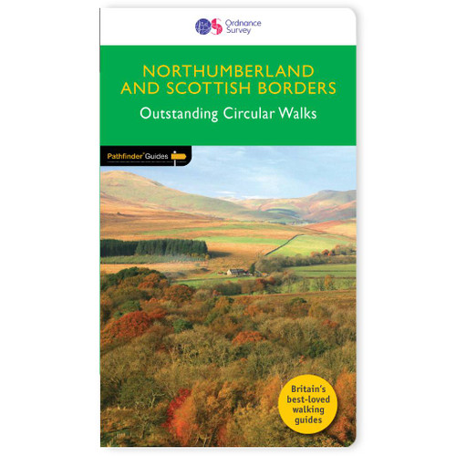
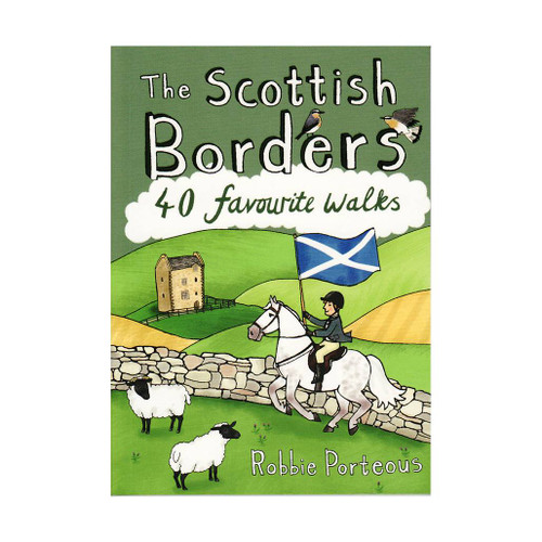
Walks in Northumberland & Scottish Borders - Pathfinder guidebook 35
180 miles of peaceful and richly historic walking in the borderlands formerly fiercely contested by the Scots and English . .
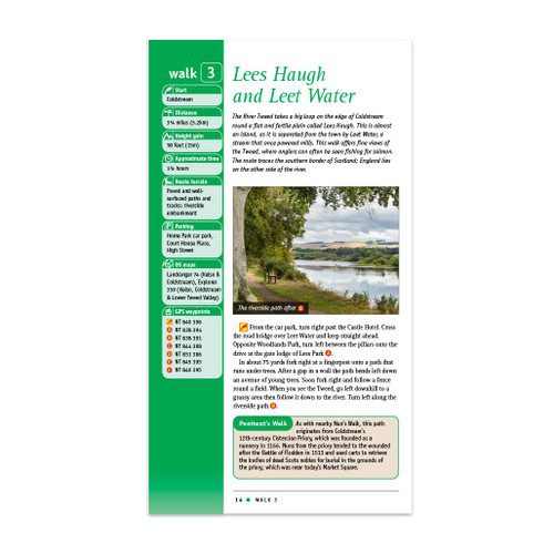
Immerse yourself in 28 beautiful walks across Northumberland and the Scottish Borders with the OS Pathfinder Guidebooks, graded by length and ranging from 3 to 13 miles. The area includes medieval castles such as Dunstanburgh and Hermitage, as well as Hadrian's wall. You can also see the ruins of Kelso abbey, visit Kielder Forest Park, or explore the tranquil beauty of the Holy Island of Lindisdrane.The routes range from extended strolls to longer hikes, something for all levels! Each walk includes a detailed description, an OS map, GPS waypoints, and notes of key features and things to see.Printed with weather-resistant covers featuring durable rounded corners, they are the perfect companion for country walking throughout Britain.
Publication Date:2020
Walks in this book:
- Kielder Water and the Bull Crag Peninsula
- Blanchland
- Doddington Moor
- Peniel Heugh
- Allen Banks
- Craster and Dunstanburgh Castle
- Simonside
- Hardian's Wall from Steel Rigg
- Whiteadder Valley and Edin's Hall Broch
- Arnton Fell
- Above Rothbury
- Lindisfarne
- Coldingham Bay and St Abb's Head
- Melrose and the Eildon Hills
- Bolam Lake and Shaftoe Crags
- Hadrian's Wall from Once Brewed
- St Cuthbert's Cave
- Peebles and the River Tweed
- Kelso, Roxburgh, and the River Teviot
- Craster, Howick, and Longhoughton
- Hadrian's Wall at Walltown and Thirlwall Castle
- Windy Gyle
- Kirk Yethlon and Halterburn Valley
- Cauldshields Lock and the River Tweed
- Hartside, Satler's Road, and High Cantle
- Hardian's Wall, Housesteads, and Sewingshields Crags
- Traquair and Minch Moor
- The Cheviot from Harthope Valley

All-inclusive
Whether you’re looking for a long stroll or an exhilarating hike, there is something for everyone

Tried and True
All routes are tried and tested by seasoned walkers

Discover more
The best way to discover what an area has to offer. All walks are rated for difficulty

Durable & Weatherproof
Never get caught out in a storm with our durable and weatherproof Pathfinder guidebooks
Delivery times
Order before 4pm weekdays for:
- Free standard delivery on orders over £10 in up to five working days
- 1st Class delivery in 1-2 working days
- Priority Express Next Day delivery on the next working day
Custom Made map orders will take one extra day for printing. Framed and canvas products are handmade and usually take 10-12 working days to dispatch. If you order on a bank holiday we'll start on your order on the next working day.
An estimated delivery date will be shown in checkout once you enter your address and pick a delivery option.
Sorry, we do not currently deliver outside of the UK.
See Full Delivery information here.


